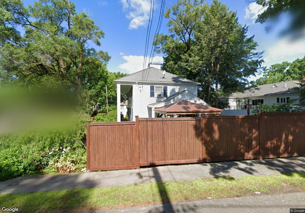
300 Hillcrest Rd Needham, MA 02492
Estimated Value: $1,278,000 - $1,547,000
3
Beds
3
Baths
1,054
Sq Ft
$1,296/Sq Ft
Est. Value
About This Home
This home is located at 300 Hillcrest Rd, Needham, MA 02492 and is currently estimated at $1,366,042, approximately $1,296 per square foot. 300 Hillcrest Rd is a home located in Norfolk County with nearby schools including Mitchell Elementary School, High Rock Middle School, and Pollard Middle School.
Ownership History
Date
Name
Owned For
Owner Type
Purchase Details
Closed on
Jan 2, 1997
Sold by
Raymond George A and Raymond Shirley M
Bought by
Albrecht Michael J
Current Estimated Value
Home Financials for this Owner
Home Financials are based on the most recent Mortgage that was taken out on this home.
Original Mortgage
$249,000
Interest Rate
7.48%
Mortgage Type
Purchase Money Mortgage
Create a Home Valuation Report for This Property
The Home Valuation Report is an in-depth analysis detailing your home's value as well as a comparison with similar homes in the area
Home Values in the Area
Average Home Value in this Area
Purchase History
| Date | Buyer | Sale Price | Title Company |
|---|---|---|---|
| Albrecht Michael J | $312,000 | -- | |
| Albrecht Michael J | $312,000 | -- |
Source: Public Records
Mortgage History
| Date | Status | Borrower | Loan Amount |
|---|---|---|---|
| Open | Albrecht Michael J | $200,000 | |
| Closed | Albrecht Michael J | $249,000 | |
| Previous Owner | Albrecht Michael J | $56,000 |
Source: Public Records
Tax History
| Year | Tax Paid | Tax Assessment Tax Assessment Total Assessment is a certain percentage of the fair market value that is determined by local assessors to be the total taxable value of land and additions on the property. | Land | Improvement |
|---|---|---|---|---|
| 2025 | $11,446 | $1,079,800 | $809,700 | $270,100 |
| 2024 | $11,768 | $939,900 | $595,800 | $344,100 |
| 2023 | $11,864 | $909,800 | $595,800 | $314,000 |
| 2022 | $11,127 | $832,200 | $528,000 | $304,200 |
| 2021 | $10,844 | $832,200 | $528,000 | $304,200 |
| 2020 | $10,393 | $832,100 | $528,000 | $304,100 |
| 2019 | $9,682 | $781,400 | $480,600 | $300,800 |
| 2018 | $9,283 | $781,400 | $480,600 | $300,800 |
| 2017 | $8,830 | $742,600 | $480,600 | $262,000 |
| 2016 | $8,570 | $742,600 | $480,600 | $262,000 |
| 2015 | $8,384 | $742,600 | $480,600 | $262,000 |
| 2014 | $7,642 | $656,500 | $401,600 | $254,900 |
Source: Public Records
Map
Nearby Homes
- 176 Highgate St
- 190 Brookline St
- 68 Brookline St
- 17 Lindbergh Ave
- 31 Birds Hill Ave
- 36 Otis St Unit 36
- 638 Webster St
- 638 Webster St Unit 638
- 510 Webster St
- 126 Prince St
- 100 Bradford St
- 24 Mellen St
- 19 Oakland Ave Unit 19
- 58 Morton St
- 7 West St
- 19 Highland Ct Unit 19
- 143 Hunting Rd
- 883 Greendale Ave
- 60 Douglas Rd
- 28 Mercer Rd
- 8 Bond St
- 137 Falcon St
- 301 Hillcrest Rd
- 129 Falcon St
- 289 Hillcrest Rd
- 143 Falcon St
- 307 Hillcrest Rd
- 219 Highgate St
- 26 Hazelton Ave
- 22 Bond St
- 18 Hazelton Ave
- 14 Arch St
- 34 Hazelton Ave
- 34 Hazelton Ave Unit 1
- 34 Hazelton Ave Unit 34
- 43 Fairfax Rd
- 313 Hillcrest Rd
- 11 Bond St
- 140 Wyoming Ave
- 318 Hillcrest Rd
Your Personal Tour Guide
Ask me questions while you tour the home.