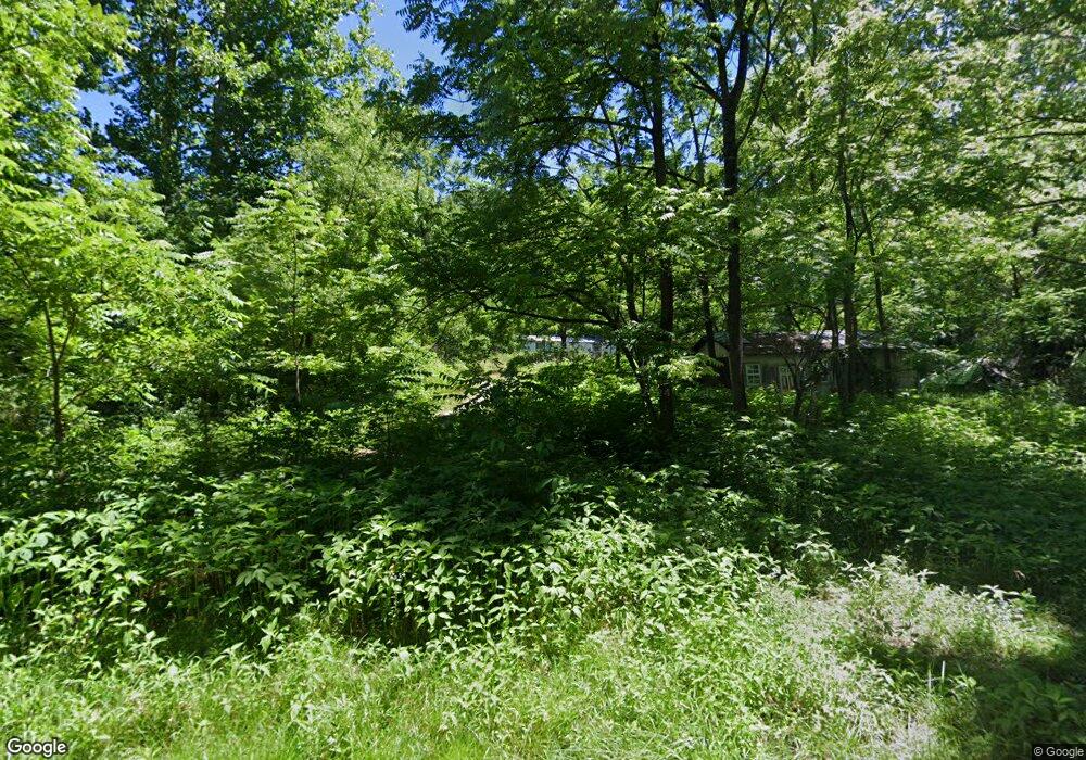
300 Honey Creek Loop Rd Allardt, TN 38504
Estimated Value: $241,000
--
Bed
1
Bath
1,056
Sq Ft
$228/Sq Ft
Est. Value
About This Home
This home is located at 300 Honey Creek Loop Rd, Allardt, TN 38504 and is currently estimated at $241,000, approximately $228 per square foot. 300 Honey Creek Loop Rd is a home located in Scott County with nearby schools including Scott High School.
Ownership History
Date
Name
Owned For
Owner Type
Purchase Details
Closed on
Apr 18, 2017
Sold by
Garrett Kenneth D
Bought by
Garrett Kenneth D and Garrett Jeremy D
Current Estimated Value
Purchase Details
Closed on
Dec 13, 2006
Sold by
Garrett Emmett A
Bought by
Garrett Jeremy
Purchase Details
Closed on
Nov 3, 1990
Bought by
Garrett Kenneth O and Garrett Joan
Purchase Details
Closed on
May 2, 1989
Bought by
Beaty Larry J Sonita
Purchase Details
Closed on
Mar 17, 1989
Bought by
Transouth Financial Corp
Purchase Details
Closed on
Oct 14, 1988
Bought by
Whited Lois E
Create a Home Valuation Report for This Property
The Home Valuation Report is an in-depth analysis detailing your home's value as well as a comparison with similar homes in the area
Home Values in the Area
Average Home Value in this Area
Purchase History
| Date | Buyer | Sale Price | Title Company |
|---|---|---|---|
| Garrett Kenneth D | $1,461 | -- | |
| Garrett Jeremy | -- | -- | |
| Garrett Kenneth O | $27,000 | -- | |
| Beaty Larry J Sonita | $11,500 | -- | |
| Transouth Financial Corp | $14,500 | -- | |
| Whited Lois E | $12,000 | -- |
Source: Public Records
Tax History Compared to Growth
Tax History
| Year | Tax Paid | Tax Assessment Tax Assessment Total Assessment is a certain percentage of the fair market value that is determined by local assessors to be the total taxable value of land and additions on the property. | Land | Improvement |
|---|---|---|---|---|
| 2025 | $128 | $9,475 | $0 | $0 |
| 2024 | $128 | $9,475 | $4,450 | $5,025 |
| 2023 | $128 | $9,475 | $4,450 | $5,025 |
| 2022 | $154 | $8,050 | $3,925 | $4,125 |
| 2021 | $191 | $8,050 | $3,925 | $4,125 |
| 2020 | $191 | $10,000 | $3,925 | $6,075 |
| 2019 | $191 | $10,000 | $3,925 | $6,075 |
| 2018 | $191 | $10,000 | $3,925 | $6,075 |
| 2017 | $205 | $10,325 | $3,400 | $6,925 |
| 2016 | $205 | $10,325 | $3,400 | $6,925 |
| 2015 | $205 | $10,321 | $0 | $0 |
| 2014 | $205 | $10,321 | $0 | $0 |
Source: Public Records
Map
Nearby Homes
- 451 Honey Creek
- 0 Honey Creek Rd Unit 640705
- 0 Honey Creek Rd Unit 641495
- 0 Honey Creek Rd Unit 641496
- 0 Honey Creek Rd Unit 641493
- 0 Honey Creek Rd Unit 641494
- 0 Honey Creek Rd Unit 641492
- 0 Honey Creek Rd Unit 659942
- 0 Honey Creek Rd Unit 659939
- 0 Honey Creek Rd Unit 659934
- 0 Honey Creek Rd Unit 659952
- 0 Honey Creek Rd Unit 666705
- 0 Honey Creek Rd Unit 688912
- 0 Honey Creek Rd Unit 688833
- 0 Honey Creek Rd Unit 688950
- 0 Honey Creek Rd Unit 688948
- 0 Honey Creek Rd Unit 688931
- 0 Honey Creek Rd Unit 688922
- 330 Honey Creek Loop Rd
- 00 Honey Creek Loop
