Estimated Value: $410,000 - $438,667
3
Beds
3
Baths
3,596
Sq Ft
$118/Sq Ft
Est. Value
About This Home
This home is located at 300 N South Point Ln, Gwinn, MI 49841 and is currently estimated at $423,889, approximately $117 per square foot. 300 N South Point Ln is a home located in Marquette County with nearby schools including K.I. Sawyer Elementary School and Gwinn Middle/High School.
Ownership History
Date
Name
Owned For
Owner Type
Purchase Details
Closed on
Jun 18, 2025
Sold by
Deatrick Steven M and Deatrick Marlene M
Bought by
Glore April C
Current Estimated Value
Home Financials for this Owner
Home Financials are based on the most recent Mortgage that was taken out on this home.
Original Mortgage
$415,000
Outstanding Balance
$413,924
Interest Rate
6.76%
Mortgage Type
VA
Estimated Equity
$9,965
Purchase Details
Closed on
Oct 19, 2005
Bought by
Deatrick Steven and Deatrick Marlene
Create a Home Valuation Report for This Property
The Home Valuation Report is an in-depth analysis detailing your home's value as well as a comparison with similar homes in the area
Home Values in the Area
Average Home Value in this Area
Purchase History
| Date | Buyer | Sale Price | Title Company |
|---|---|---|---|
| Glore April C | $415,000 | None Listed On Document | |
| Deatrick Steven | $258,000 | -- |
Source: Public Records
Mortgage History
| Date | Status | Borrower | Loan Amount |
|---|---|---|---|
| Open | Glore April C | $415,000 |
Source: Public Records
Tax History Compared to Growth
Tax History
| Year | Tax Paid | Tax Assessment Tax Assessment Total Assessment is a certain percentage of the fair market value that is determined by local assessors to be the total taxable value of land and additions on the property. | Land | Improvement |
|---|---|---|---|---|
| 2025 | $24 | $176,200 | $0 | $0 |
| 2024 | $24 | $178,300 | $0 | $0 |
| 2023 | $2,318 | $168,000 | $0 | $0 |
| 2022 | $4,572 | $139,600 | $0 | $0 |
| 2021 | $4,433 | $146,300 | $0 | $0 |
| 2020 | $4,367 | $139,600 | $0 | $0 |
| 2019 | $4,509 | $150,300 | $0 | $0 |
| 2018 | $4,500 | $150,250 | $0 | $0 |
| 2017 | $4,206 | $150,250 | $0 | $0 |
| 2016 | $4,190 | $147,150 | $0 | $0 |
| 2015 | -- | $147,150 | $0 | $0 |
| 2014 | -- | $149,400 | $0 | $0 |
| 2012 | -- | $117,350 | $0 | $0 |
Source: Public Records
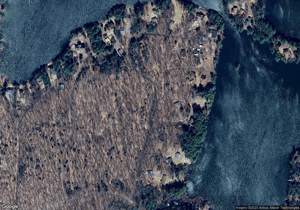
Map
Nearby Homes
- TBD Wagon Wheel Ln
- TBD Co Rd 553
- TBD M553
- 825 W Kimberly St
- 826/830 Kimberly St
- 872 W Tapola Rd
- 258 W Jasper St
- 116 E State Highway M35
- Section 33 E State Highway M35
- 158 N Pine St
- TBD N Cataract Dr
- 232 W Jasper St
- TBD Ln
- Lot H Maple Wood Ln
- 490 County Road Ev
- 000 Maplewood Dr
- Parcel 1 Iron Pin Trail
- Parcel 3 Iron Pin Trail
- Lot G Maple Wood Ln
- 149 N Spruce St
- 298 N South Point Ln
- 298 N South Point Ln
- 1494 W Knudsen Rd
- 1482 W Knudsen Rd
- 1480 W Knudsen Rd
- 1484 W Knudsen Rd
- 1492 W Knudsen Rd
- 294 N South Point Ln
- 1490 W Knudsen Rd
- 1498 W Knudsen Rd
- 1488 W Knudsen Rd
- 363 N South Point Ln
- 1485 W Knudsen Rd
- 290 N South Point Ln
- 1453 W Knudsen Rd
- 1478 W Knudsen Rd
- 1476 W Knudsen Rd
- 1474 W Knudsen Rd
- 387 N South Point Ln
- 1445 W Knudsen Rd