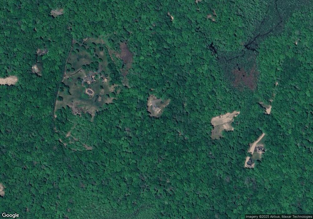
300 Route 148 Killingworth, CT 06419
Estimated Value: $651,000 - $924,000
3
Beds
3
Baths
2,988
Sq Ft
$274/Sq Ft
Est. Value
About This Home
This home is located at 300 Route 148, Killingworth, CT 06419 and is currently estimated at $820,166, approximately $274 per square foot. 300 Route 148 is a home with nearby schools including Haddam-Killingworth High School and Haddam-Killingworth Intermediate School.
Ownership History
Date
Name
Owned For
Owner Type
Purchase Details
Closed on
Jun 23, 2025
Sold by
Annino Louis C
Bought by
Annino Louis C and Annino Mary J
Current Estimated Value
Purchase Details
Closed on
Dec 21, 2005
Sold by
Maxwell Kenneth and Tunney Arlene
Bought by
Annino Louis
Create a Home Valuation Report for This Property
The Home Valuation Report is an in-depth analysis detailing your home's value as well as a comparison with similar homes in the area
Home Values in the Area
Average Home Value in this Area
Purchase History
| Date | Buyer | Sale Price | Title Company |
|---|---|---|---|
| Annino Louis C | -- | None Available | |
| Annino Louis C | -- | None Available | |
| Annino Louis C | -- | None Available | |
| Annino Louis C | -- | None Available | |
| Annino Louis | $29,843 | -- | |
| Annino Louis | $29,843 | -- |
Source: Public Records
Mortgage History
| Date | Status | Borrower | Loan Amount |
|---|---|---|---|
| Previous Owner | Annino Louis | $100,000 | |
| Previous Owner | Annino Louis | $95,000 | |
| Previous Owner | Annino Louis | $300,000 |
Source: Public Records
Tax History Compared to Growth
Tax History
| Year | Tax Paid | Tax Assessment Tax Assessment Total Assessment is a certain percentage of the fair market value that is determined by local assessors to be the total taxable value of land and additions on the property. | Land | Improvement |
|---|---|---|---|---|
| 2025 | $10,717 | $408,730 | $83,230 | $325,500 |
| 2024 | $9,899 | $408,730 | $83,230 | $325,500 |
| 2023 | $9,593 | $408,730 | $83,230 | $325,500 |
| 2022 | $9,491 | $408,730 | $83,230 | $325,500 |
| 2021 | $9,133 | $341,790 | $86,730 | $255,060 |
| 2020 | $9,133 | $341,790 | $86,730 | $255,060 |
| 2019 | $9,389 | $341,790 | $86,730 | $255,060 |
| 2018 | $9,389 | $341,790 | $86,730 | $255,060 |
| 2017 | $9,389 | $341,790 | $86,730 | $255,060 |
| 2016 | $8,227 | $317,780 | $126,880 | $190,900 |
| 2015 | $8,018 | $317,780 | $126,880 | $190,900 |
| 2014 | $7,795 | $317,780 | $126,880 | $190,900 |
Source: Public Records
Map
Nearby Homes
- 275 Route 148
- 24 Boulder Trail
- 10 Whitewood Rd
- 8 Livemore Trail
- 11 Pleasant Trail
- 14 Kenilworth Dr
- 33 Whitewood Rd
- 511 Route 81
- 115 Hemlock Dr
- 262 Connecticut 81
- 13 Cranberry Meadow Ln
- 30 Chestnut Hill Rd
- 12 Rachel Ct
- 179 Route 81
- 779 Summer Hill Rd
- 8 Route 148
- 37 Titus Coan Rd
- 48 Shepherds Trail
- 174 Concord Dr
- 197 Concord Dr
- 14 Pine Orchard Ln
- 42 Lovers Ln
- 13 Pine Orchard Ln
- 10 Pine Orchard Ln
- 302 Route 148
- 16 Pine Orchard Ln
- To Be Buil Pine Orchard Ln
- 290 Route 148
- 290 Route 148
- 66 Lovers Ln
- 28 Beckwith Rd
- 294 Route 148
- 50 Beckwith Rd
- 306 Route 148
- 40 Beckwith Rd
- 0 Schnoor Rd
- 000 Schnoor Rd
- 6 Pine Orchard Ln
- 20 Beckwith Rd
- 34 Beckwith Rd
