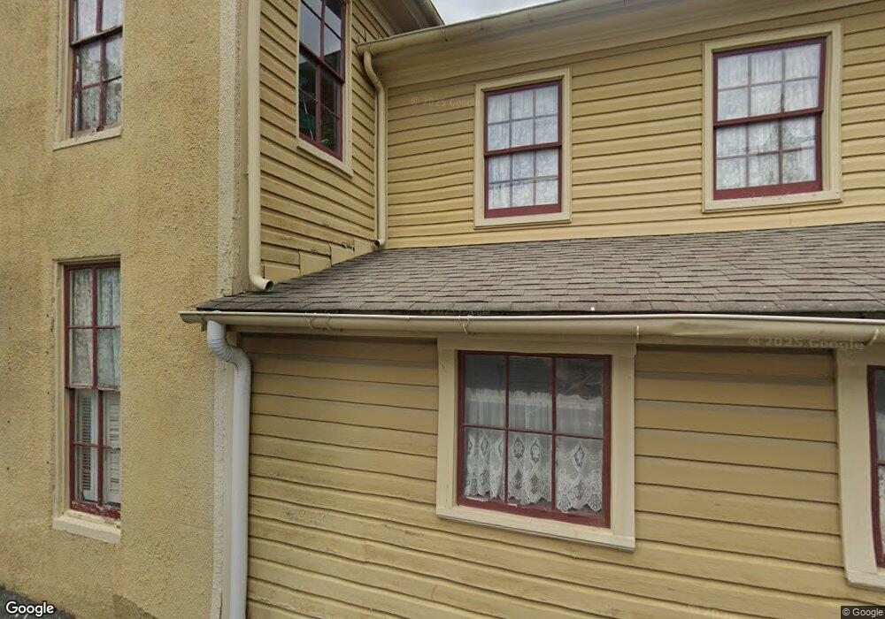
300 S Talbot St Saint Michaels, MD 21663
Estimated Value: $828,094
Studio
2
Baths
3,122
Sq Ft
$265/Sq Ft
Est. Value
About This Home
This home is located at 300 S Talbot St, Saint Michaels, MD 21663 and is currently estimated at $828,094, approximately $265 per square foot. 300 S Talbot St is a home located in Talbot County with nearby schools including St. Michaels Elementary School, St. Michaels Middle/High School, and Easton High School.
Ownership History
Date
Name
Owned For
Owner Type
Purchase Details
Closed on
Jan 12, 2022
Sold by
Clear Kristopher S
Bought by
300 Talbot Llc
Current Estimated Value
Home Financials for this Owner
Home Financials are based on the most recent Mortgage that was taken out on this home.
Original Mortgage
$559,200
Outstanding Balance
$511,935
Interest Rate
3.22%
Mortgage Type
New Conventional
Estimated Equity
$316,159
Purchase Details
Closed on
Dec 7, 2018
Sold by
Pierson Land Llc
Bought by
Clear Kristopher S and Clear Leigh C
Home Financials for this Owner
Home Financials are based on the most recent Mortgage that was taken out on this home.
Original Mortgage
$394,000
Interest Rate
4.8%
Mortgage Type
Commercial
Purchase Details
Closed on
Apr 7, 2003
Sold by
Fox Nancy E
Bought by
Pierson Land Llc
Create a Home Valuation Report for This Property
The Home Valuation Report is an in-depth analysis detailing your home's value as well as a comparison with similar homes in the area
Home Values in the Area
Average Home Value in this Area
Purchase History
| Date | Buyer | Sale Price | Title Company |
|---|---|---|---|
| 300 Talbot Llc | $699,000 | New Title Company Name | |
| Clear Kristopher S | $492,500 | None Available | |
| Pierson Land Llc | $375,000 | -- |
Source: Public Records
Mortgage History
| Date | Status | Borrower | Loan Amount |
|---|---|---|---|
| Open | 300 Talbot Llc | $559,200 | |
| Previous Owner | Clear Kristopher S | $394,000 |
Source: Public Records
Tax History
| Year | Tax Paid | Tax Assessment Tax Assessment Total Assessment is a certain percentage of the fair market value that is determined by local assessors to be the total taxable value of land and additions on the property. | Land | Improvement |
|---|---|---|---|---|
| 2025 | $8,265 | $662,900 | $383,700 | $279,200 |
| 2024 | $7,286 | $590,133 | $0 | $0 |
| 2023 | $6,201 | $517,367 | $0 | $0 |
| 2022 | $5,098 | $444,600 | $266,400 | $178,200 |
| 2021 | $9,444 | $421,100 | $0 | $0 |
| 2020 | $4,557 | $397,600 | $0 | $0 |
| 2019 | $6,795 | $374,100 | $266,400 | $107,700 |
| 2018 | $4,038 | $374,100 | $266,400 | $107,700 |
| 2017 | $3,756 | $374,100 | $0 | $0 |
| 2016 | $3,644 | $378,600 | $0 | $0 |
| 2015 | $4,159 | $378,600 | $0 | $0 |
| 2014 | $4,159 | $378,600 | $0 | $0 |
Source: Public Records
Map
Nearby Homes
- 101 Mulberry St
- 111 Gloria Ave
- 113 Gloria Ave
- 117 Chesapeake Ave
- 205 Cherry St
- 107 W Chestnut St
- 106 E Chestnut St
- 114 W Chestnut St
- 222 E Chestnut St
- 114 E Chew Ave
- 408 Spinnaker Ln
- 209 Webb Ln
- 101 Brooks Ln
- 216 E Chew Ave
- 303 Manor St
- Lot 16A Meadow St
- 105 Seymour Ave
- 216 Brooks Ln
- 228 Perry Cabin Dr Unit 228 / 226
- 938 Marea Terrace
- 216 S Talbot St Unit B
- 216 S Talbot St
- 300 N Talbot St Unit 1ST FLOOR
- 300 N Talbot St
- 214 Talbot Street B S
- 214 S Talbot St
- 214 S Talbot Street B
- 214B S Talbot St
- 214B B S Talbot St
- 214B S Talbot Street B
- 214A S Talbot St
- 214 N Talbot St
- 212 N Talbot St
- 210 S Talbot St
- 301 S Talbot St
- 117 Fremont St
- 117 Freemont St
- 103 Willow St
- 303 S Talbot St
- 213 N Talbot St
Your Personal Tour Guide
Ask me questions while you tour the home.