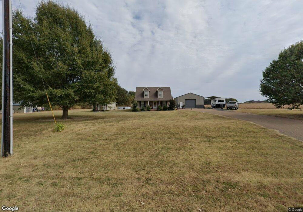
300 St Luke Rd Covington, TN 38019
Estimated Value: $159,000 - $204,000
--
Bed
2
Baths
1,080
Sq Ft
$177/Sq Ft
Est. Value
About This Home
This home is located at 300 St Luke Rd, Covington, TN 38019 and is currently estimated at $191,260, approximately $177 per square foot. 300 St Luke Rd is a home located in Tipton County with nearby schools including Crestview Elementary School, Crestview Middle School, and Covington High School.
Ownership History
Date
Name
Owned For
Owner Type
Purchase Details
Closed on
Apr 23, 2020
Sold by
Renner Amanda Leigh and Sanders Amanda Daniel
Bought by
Renner Christopher James and Renner Amanda Leigh
Current Estimated Value
Purchase Details
Closed on
Apr 9, 2009
Sold by
Sanders Timothy A
Bought by
Sanders Amanda L
Home Financials for this Owner
Home Financials are based on the most recent Mortgage that was taken out on this home.
Original Mortgage
$96,425
Outstanding Balance
$61,315
Interest Rate
5.05%
Estimated Equity
$129,945
Purchase Details
Closed on
Feb 21, 2003
Sold by
Sanders Amanda D
Bought by
Sanders Timothy S
Create a Home Valuation Report for This Property
The Home Valuation Report is an in-depth analysis detailing your home's value as well as a comparison with similar homes in the area
Home Values in the Area
Average Home Value in this Area
Purchase History
| Date | Buyer | Sale Price | Title Company |
|---|---|---|---|
| Renner Christopher James | -- | None Available | |
| Sanders Amanda L | -- | -- | |
| Sanders Timothy S | -- | -- |
Source: Public Records
Mortgage History
| Date | Status | Borrower | Loan Amount |
|---|---|---|---|
| Open | Sanders Timothy S | $96,425 |
Source: Public Records
Tax History Compared to Growth
Tax History
| Year | Tax Paid | Tax Assessment Tax Assessment Total Assessment is a certain percentage of the fair market value that is determined by local assessors to be the total taxable value of land and additions on the property. | Land | Improvement |
|---|---|---|---|---|
| 2024 | $682 | $44,800 | $4,075 | $40,725 |
| 2023 | $682 | $44,800 | $4,075 | $40,725 |
| 2022 | $661 | $32,400 | $3,000 | $29,400 |
| 2021 | $523 | $32,400 | $3,000 | $29,400 |
| 2020 | $523 | $25,650 | $3,000 | $22,650 |
| 2019 | $512 | $21,175 | $2,750 | $18,425 |
| 2018 | $512 | $21,175 | $2,750 | $18,425 |
| 2017 | $512 | $21,175 | $2,750 | $18,425 |
| 2016 | $465 | $21,175 | $2,750 | $18,425 |
| 2015 | $465 | $19,225 | $2,750 | $16,475 |
| 2014 | $465 | $19,221 | $0 | $0 |
Source: Public Records
Map
Nearby Homes
- 1622 Sanford Rd
- 1531 Davis Rd
- 2089 Ralph Rd
- 8044 Tennessee 179
- LOT 8 Brammer Rd
- LOT 1 Brammer Rd
- 428 Hogan Rd
- 0 Pickens Store Rd
- 375 Emmitt Culberth Ln
- 283 Brierhedge + Parcel Id 070i A 007 01 Rd Unit + parcel ID 070I A 0
- 18257 Route 59
- 0 Route 59
- 0 Ray Ln
- 835 Robertson Rd
- 1467 Hall Rd
- 595 Ray Ln
- 0 Hwy 59 Hwy Unit 10189659
- 0 Hwy 59 Hwy Unit 10189658
- 720 Tennessee 179
- 0 Bud Eubanks Rd
- 5952 Highway 179
- 3170 Highway 14 N
- 3190 Highway 14 N
- 6160 Highway 179
- 5794 Highway 179
- 3210 Highway 14 N
- 5724 Highway 179
- 5741 Highway 179
- 264 St Luke Rd
- 5625 Highway 179
- 5625R Hwy 179 Hwy
- 6205 Highway 179
- 6284 Highway 179
- 6284 Highway 179
- 5595 Tennessee 179
- 5595 Highway 179
- 2682 Highway 14 N
- 2646 Highway 14 N
- 2618 Highway 14 N
- 300 Shoaf Rd