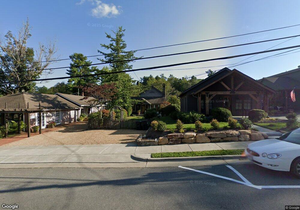
300 Sunset Dr Blowing Rock, NC 28605
Estimated Value: $975,000 - $1,561,000
4
Beds
2
Baths
1,533
Sq Ft
$761/Sq Ft
Est. Value
About This Home
This home is located at 300 Sunset Dr, Blowing Rock, NC 28605 and is currently estimated at $1,166,580, approximately $760 per square foot. 300 Sunset Dr is a home located in Watauga County with nearby schools including Blowing Rock Elementary School and Watauga High School.
Ownership History
Date
Name
Owned For
Owner Type
Purchase Details
Closed on
Jan 1, 2008
Sold by
Mccneely Sharon Y and Mccneely John L
Bought by
Coin And 3 Llc
Current Estimated Value
Purchase Details
Closed on
Oct 30, 2007
Sold by
Postlethwait Elizabeth S and Stroh William F
Bought by
Mcneely Sharon Y
Home Financials for this Owner
Home Financials are based on the most recent Mortgage that was taken out on this home.
Original Mortgage
$384,000
Interest Rate
6.26%
Mortgage Type
New Conventional
Create a Home Valuation Report for This Property
The Home Valuation Report is an in-depth analysis detailing your home's value as well as a comparison with similar homes in the area
Home Values in the Area
Average Home Value in this Area
Purchase History
| Date | Buyer | Sale Price | Title Company |
|---|---|---|---|
| Coin And 3 Llc | -- | None Available | |
| Mcneely Sharon Y | $395,000 | None Available |
Source: Public Records
Mortgage History
| Date | Status | Borrower | Loan Amount |
|---|---|---|---|
| Previous Owner | Mcneely Sharon Y | $384,000 |
Source: Public Records
Tax History Compared to Growth
Tax History
| Year | Tax Paid | Tax Assessment Tax Assessment Total Assessment is a certain percentage of the fair market value that is determined by local assessors to be the total taxable value of land and additions on the property. | Land | Improvement |
|---|---|---|---|---|
| 2024 | $5,372 | $733,800 | $429,700 | $304,100 |
| 2023 | $5,040 | $721,000 | $429,700 | $291,300 |
| 2022 | $5,040 | $721,000 | $429,700 | $291,300 |
| 2021 | $4,119 | $484,900 | $388,300 | $96,600 |
| 2020 | $3,925 | $484,900 | $388,300 | $96,600 |
| 2019 | $3,925 | $484,900 | $388,300 | $96,600 |
| 2018 | $3,586 | $484,900 | $388,300 | $96,600 |
| 2017 | $3,586 | $484,900 | $388,300 | $96,600 |
| 2013 | -- | $547,200 | $482,500 | $64,700 |
Source: Public Records
Map
Nearby Homes
- 257 Sunset Dr
- 157 Hill St
- 148 Royal Oaks Dr Unit 231
- 148 Royal Oaks Dr Unit 235
- 148 Royal Oaks Dr Unit 226
- 176 Royal Oaks Dr Unit 115
- 1150 Main St Unit Dogwood
- 3385 Highway 321
- 214 Village Green Unit B2
- 486 Ransom St Unit A2
- 140 Sunset Dr
- 116 Globe Rd
- 199 Cone Vista Cir Unit 503
- 119 S White Pine Dr
- 101 Clary Ct Unit 101
- 836 Sunset Dr
- 187 Pine Village
- 199 Brooker St
- 250 Globe Rd
- 461 Waterside Dr Unit 4