300 Tina Ct Winnemucca, NV 89445
--
Bed
--
Bath
--
Sq Ft
9.64
Acres
About This Home
This home is located at 300 Tina Ct, Winnemucca, NV 89445. 300 Tina Ct is a home located in Pershing County with nearby schools including Pershing County Middle School and Pershing County High School.
Ownership History
Date
Name
Owned For
Owner Type
Purchase Details
Closed on
Sep 16, 2020
Sold by
Pearce Daniel S and Pearce Samantha T
Bought by
Christensen Michael Irving
Purchase Details
Closed on
Sep 13, 2017
Sold by
Morgan Family Trust
Bought by
Pearce Daniel S and Pearce Samantha T
Home Financials for this Owner
Home Financials are based on the most recent Mortgage that was taken out on this home.
Original Mortgage
$8,400
Interest Rate
3.89%
Mortgage Type
New Conventional
Create a Home Valuation Report for This Property
The Home Valuation Report is an in-depth analysis detailing your home's value as well as a comparison with similar homes in the area
Home Values in the Area
Average Home Value in this Area
Purchase History
| Date | Buyer | Sale Price | Title Company |
|---|---|---|---|
| Christensen Michael Irving | $15,000 | Western Title | |
| Pearce Daniel S | $10,900 | Western Title Inc |
Source: Public Records
Mortgage History
| Date | Status | Borrower | Loan Amount |
|---|---|---|---|
| Previous Owner | Pearce Daniel S | $8,400 |
Source: Public Records
Tax History Compared to Growth
Tax History
| Year | Tax Paid | Tax Assessment Tax Assessment Total Assessment is a certain percentage of the fair market value that is determined by local assessors to be the total taxable value of land and additions on the property. | Land | Improvement |
|---|---|---|---|---|
| 2025 | $210 | $4,900 | $4,900 | -- |
| 2024 | $210 | $4,900 | $4,900 | $0 |
| 2023 | $210 | $4,900 | $4,900 | $0 |
| 2022 | $36 | $4,900 | $4,900 | $0 |
| 2021 | $34 | $4,900 | $4,900 | $0 |
| 2020 | $33 | $1,063 | $1,063 | $0 |
| 2019 | $33 | $1,063 | $1,063 | $0 |
| 2018 | $33 | $1,063 | $1,063 | $0 |
| 2017 | $33 | $1,063 | $1,063 | $0 |
| 2016 | $33 | $1,063 | $1,063 | $0 |
| 2015 | $33 | $1,063 | $1,063 | $0 |
| 2014 | $33 | $1,063 | $1,063 | $0 |
Source: Public Records
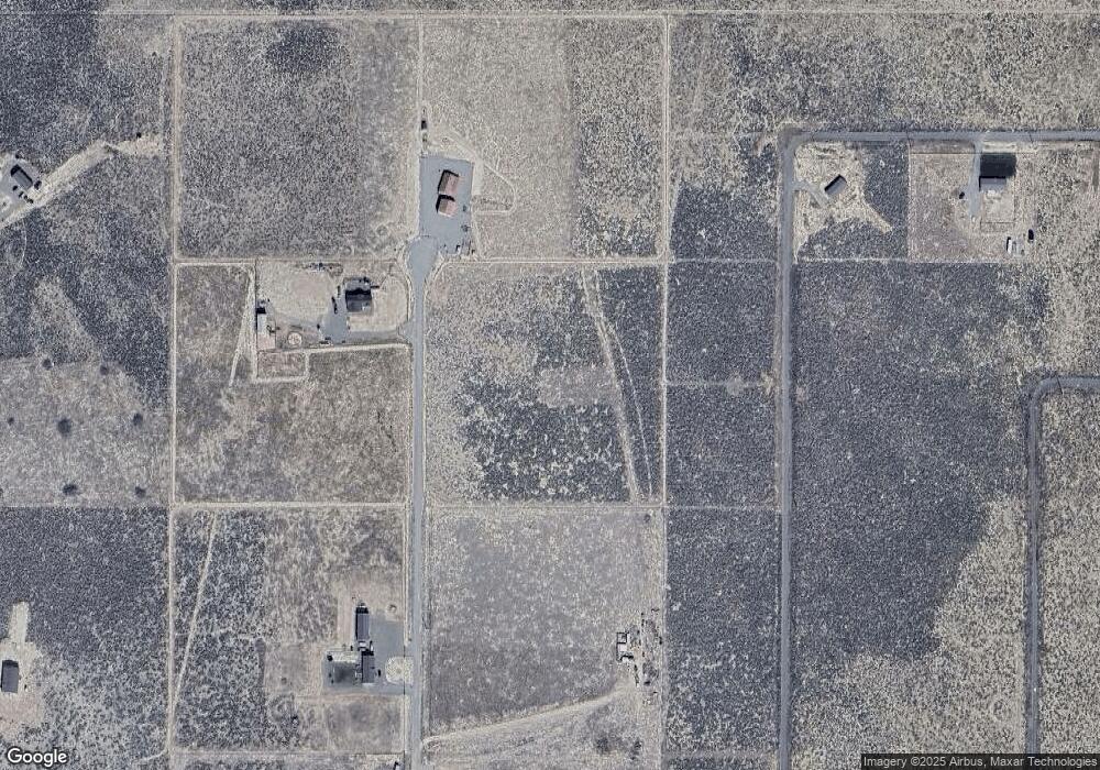
Map
Nearby Homes
- 200 Misty Ct
- 155 Misty Ct
- 100 Bear Ln
- 6265 Sandi Dr
- 009-040-21 Muddy Rd
- 80 acres Muddy Rd
- 6060 Tausha Dr
- 605 Mike Dr
- 1625 Youngberg Rd
- 1200 van Diest Rd
- 3075 Cougar Ct
- 3139 Muddy Rd
- 10565 Spur St
- 10485 Spur St
- 10440 Reins Way
- 4715 Stirrup St
- 10205 Spur St
- 00 Logan Rd Unit 9-220-16
- 0 Logan Rd
- 4715 E Tycana Rd