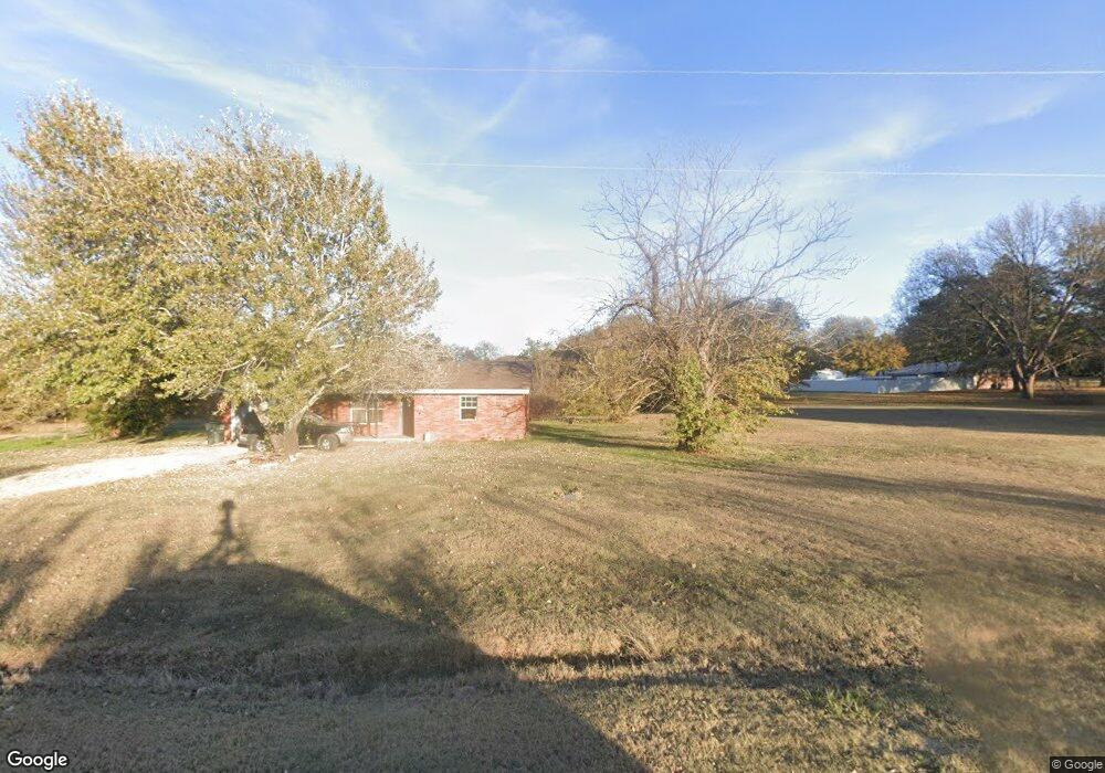
300 Union Rd Mannsville, OK 73447
Estimated Value: $104,328 - $298,000
2
Beds
1
Bath
1,305
Sq Ft
$132/Sq Ft
Est. Value
About This Home
This home is located at 300 Union Rd, Mannsville, OK 73447 and is currently estimated at $172,082, approximately $131 per square foot. 300 Union Rd is a home located in Johnston County with nearby schools including Mannsville Public School.
Ownership History
Date
Name
Owned For
Owner Type
Purchase Details
Closed on
Sep 28, 2015
Sold by
Secretary Of Veterans Affairs
Bought by
Aldaba Rosa
Current Estimated Value
Purchase Details
Closed on
Feb 17, 2015
Sold by
Chase Home Finance Llc
Bought by
Baker Paul Ray
Purchase Details
Closed on
May 28, 2007
Sold by
Wilson Ernest Glen and Wilson Cora C
Bought by
Baker Paul Ray
Home Financials for this Owner
Home Financials are based on the most recent Mortgage that was taken out on this home.
Original Mortgage
$70,994
Interest Rate
6.41%
Mortgage Type
VA
Create a Home Valuation Report for This Property
The Home Valuation Report is an in-depth analysis detailing your home's value as well as a comparison with similar homes in the area
Home Values in the Area
Average Home Value in this Area
Purchase History
| Date | Buyer | Sale Price | Title Company |
|---|---|---|---|
| Aldaba Rosa | $8,000 | None Available | |
| Baker Paul Ray | -- | None Available | |
| Baker Paul Ray | $69,500 | -- |
Source: Public Records
Mortgage History
| Date | Status | Borrower | Loan Amount |
|---|---|---|---|
| Previous Owner | Baker Paul Ray | $70,994 |
Source: Public Records
Tax History Compared to Growth
Tax History
| Year | Tax Paid | Tax Assessment Tax Assessment Total Assessment is a certain percentage of the fair market value that is determined by local assessors to be the total taxable value of land and additions on the property. | Land | Improvement |
|---|---|---|---|---|
| 2025 | $289 | $3,634 | $662 | $2,972 |
| 2024 | $275 | $3,461 | $630 | $2,831 |
| 2023 | $275 | $3,296 | $765 | $2,531 |
| 2022 | $250 | $3,139 | $765 | $2,374 |
| 2021 | $237 | $2,990 | $765 | $2,225 |
| 2020 | $227 | $2,847 | $765 | $2,082 |
| 2019 | $246 | $2,712 | $765 | $1,947 |
| 2018 | $241 | $2,712 | $765 | $1,947 |
| 2017 | $438 | $4,877 | $422 | $4,455 |
| 2016 | $426 | $4,645 | $422 | $4,223 |
| 2015 | $405 | $4,424 | $422 | $4,002 |
| 2014 | $804 | $8,340 | $422 | $7,918 |
Source: Public Records
Map
Nearby Homes
- 0 Timber Ln
- 13106 Clayhill Ln
- Tbd Hwy 199
- 1925 Old Highway 70
- Greasy Bend Rd
- 54 Pecan St
- 268 Birch Rd
- 3376 Old Hwy 70
- 3376 Old Highway 70
- 3419 State Highway 199
- 3484 State Highway 199
- 24243 Tiny Chapel Rd
- 13 Titan Dr
- 2 Titan Dr
- 1 Titan Dr
- 1114 Comet Rd
- 1000 Ponderosa Rd
- 0 Highway 199
- 6296 Dickson Rd
- 0 Tyler Rd
- 177 Us-177
- 210 W Koons Ln
- 111 Smoke Ln
- 12924 S Union Rd
- 106 Smoke Ln
- 14608 W Billingham
- 201 S John Ln
- 301 S John Ln
- 112 Carol Dr
- 16486 Ok State Highway 177 W
- 201 S Mary Dr
- 2107 Thomas Ln
- 206 S Mary Dr
- 210 S Mary Dr
- 203 S Mary Dr
- 431 W Broadway
- 12550 S Union Rd
- 12449 S Union Rd
- 105 W Broadway Loop
- 16601 Us Highway 177 W