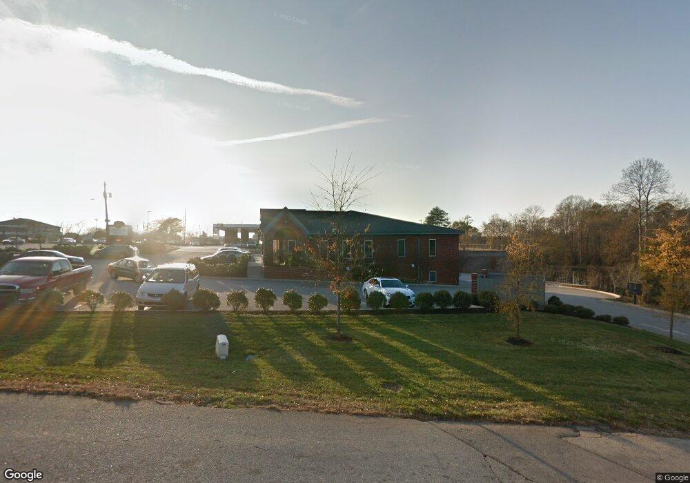
300 W Butler Rd Mauldin, SC 29662
Estimated Value: $686,967
2
Beds
1
Bath
1,091
Sq Ft
$630/Sq Ft
Est. Value
About This Home
This home is located at 300 W Butler Rd, Mauldin, SC 29662 and is currently estimated at $686,967, approximately $629 per square foot. 300 W Butler Rd is a home located in Greenville County with nearby schools including Greenbrier Elementary School, Mauldin Middle School, and Mauldin High School.
Ownership History
Date
Name
Owned For
Owner Type
Purchase Details
Closed on
Jan 28, 2020
Sold by
Krishniah Balasubramanyam
Bought by
Omkar Of South Carolina Llc
Current Estimated Value
Purchase Details
Closed on
Aug 20, 2012
Sold by
Krishniah Balasubramanyam
Bought by
Quiktrip Corporation
Purchase Details
Closed on
Sep 7, 2011
Sold by
Sg Llc
Bought by
Krishniah Dr Balasubramanya
Purchase Details
Closed on
Mar 21, 2011
Sold by
Buchanan Catherine
Bought by
Sg Llc
Home Financials for this Owner
Home Financials are based on the most recent Mortgage that was taken out on this home.
Original Mortgage
$445,000
Interest Rate
4.95%
Mortgage Type
Commercial
Create a Home Valuation Report for This Property
The Home Valuation Report is an in-depth analysis detailing your home's value as well as a comparison with similar homes in the area
Home Values in the Area
Average Home Value in this Area
Purchase History
| Date | Buyer | Sale Price | Title Company |
|---|---|---|---|
| Omkar Of South Carolina Llc | -- | None Available | |
| Quiktrip Corporation | $285,000 | -- | |
| Krishniah Dr Balasubramanyam | -- | -- | |
| Krishniah Dr Balasubramanya | -- | -- | |
| Sg Llc | $445,000 | -- |
Source: Public Records
Mortgage History
| Date | Status | Borrower | Loan Amount |
|---|---|---|---|
| Previous Owner | Sg Llc | $445,000 |
Source: Public Records
Tax History Compared to Growth
Tax History
| Year | Tax Paid | Tax Assessment Tax Assessment Total Assessment is a certain percentage of the fair market value that is determined by local assessors to be the total taxable value of land and additions on the property. | Land | Improvement |
|---|---|---|---|---|
| 2024 | $23,874 | $69,980 | $29,610 | $40,370 |
| 2023 | $23,874 | $69,980 | $29,610 | $40,370 |
| 2022 | $22,371 | $69,980 | $29,610 | $40,370 |
| 2021 | $22,090 | $69,980 | $29,610 | $40,370 |
| 2020 | $23,139 | $69,910 | $24,910 | $45,000 |
| 2019 | $23,146 | $69,910 | $24,910 | $45,000 |
| 2018 | $22,698 | $69,910 | $24,910 | $45,000 |
| 2017 | $22,342 | $69,910 | $0 | $0 |
| 2016 | $21,844 | $1,165,250 | $415,190 | $750,060 |
| 2015 | $21,844 | $1,165,250 | $415,190 | $750,060 |
| 2014 | $19,485 | $1,049,980 | $415,190 | $634,790 |
Source: Public Records
Map
Nearby Homes
- 66 Sikes Cir
- 301 Crestwood Dr
- 10 Golden Apple Trail
- 511 Fagin Cir
- 205 Bedwin Ct
- 302 Rosewood Cir
- 202 N Main St
- 309 Garrett St
- 113 Carlton Dr
- 916 Goldendale Ct
- 254 Santorini Way
- 252 Santorini Way
- 242 Santorini Way
- 240 Santorini Way
- 238 Santorini Way
- 525 Waterbrook Dr
- 114 Locke Ln
- 327 Nantallah Trail
- 555 Waterbrook Dr
- Portland II Plan at Manegate
- 304 W Butler Rd
- 101 Pinecrest Dr
- 3 W Point Blvd
- 00 Whatley Cir
- 118 W Butler Rd
- 16 W Point Blvd
- 101 Wood Creek Rd
- 103 Wood Creek Rd
- 129 Sunset Dr
- 109 Pinecrest Dr
- 105 Wood Creek Rd
- 107 Wood Creek Rd
- 127 Sunset Dr
- 109 Wood Creek Rd
- 111 Ashmore Bridge Rd
- 125 Sunset Dr
- 300 Woodland Dr
- 201 Pinecrest Dr
- 113 Ashmore Bridge Rd
- 302 Woodland Dr