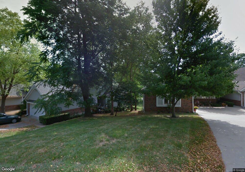
3001 Cedar Crest Dr Unit A Independence, MO 64057
Blackburn NeighborhoodEstimated Value: $284,000 - $379,000
3
Beds
2
Baths
2,038
Sq Ft
$156/Sq Ft
Est. Value
About This Home
This home is located at 3001 Cedar Crest Dr Unit A, Independence, MO 64057 and is currently estimated at $318,436, approximately $156 per square foot. 3001 Cedar Crest Dr Unit A is a home located in Jackson County with nearby schools including Blackburn Elementary School, Bridger Middle School, and Pioneer Ridge Middle School.
Ownership History
Date
Name
Owned For
Owner Type
Purchase Details
Closed on
Apr 10, 2003
Sold by
Neal Harold and Neal Margaret I
Bought by
Kerns Frances E
Current Estimated Value
Home Financials for this Owner
Home Financials are based on the most recent Mortgage that was taken out on this home.
Original Mortgage
$156,800
Outstanding Balance
$67,162
Interest Rate
5.71%
Mortgage Type
Purchase Money Mortgage
Estimated Equity
$251,274
Purchase Details
Closed on
Jan 16, 1996
Sold by
Neal Harold and Neal Margaret I
Bought by
Neal Harold and Neal Margaret I
Home Financials for this Owner
Home Financials are based on the most recent Mortgage that was taken out on this home.
Original Mortgage
$96,000
Interest Rate
6.63%
Mortgage Type
Purchase Money Mortgage
Create a Home Valuation Report for This Property
The Home Valuation Report is an in-depth analysis detailing your home's value as well as a comparison with similar homes in the area
Home Values in the Area
Average Home Value in this Area
Purchase History
| Date | Buyer | Sale Price | Title Company |
|---|---|---|---|
| Kerns Frances E | -- | Ati Title Company | |
| Neal Harold | -- | -- |
Source: Public Records
Mortgage History
| Date | Status | Borrower | Loan Amount |
|---|---|---|---|
| Open | Kerns Frances E | $156,800 | |
| Previous Owner | Neal Harold | $96,000 |
Source: Public Records
Tax History
| Year | Tax Paid | Tax Assessment Tax Assessment Total Assessment is a certain percentage of the fair market value that is determined by local assessors to be the total taxable value of land and additions on the property. | Land | Improvement |
|---|---|---|---|---|
| 2025 | $4,259 | $55,280 | $4,729 | $50,551 |
| 2024 | $4,162 | $61,476 | $2,702 | $58,774 |
| 2023 | $4,162 | $61,477 | $3,994 | $57,483 |
| 2022 | $3,088 | $41,800 | $779 | $41,021 |
| 2021 | $3,086 | $41,800 | $779 | $41,021 |
| 2020 | $2,783 | $36,623 | $779 | $35,844 |
| 2019 | $2,738 | $36,623 | $779 | $35,844 |
| 2018 | $2,650 | $33,836 | $3,299 | $30,537 |
| 2017 | $2,650 | $33,836 | $3,299 | $30,537 |
| 2016 | $2,609 | $32,988 | $2,660 | $30,328 |
Source: Public Records
Map
Nearby Homes
- 3011 Cedar Crest Dr Unit B
- 2900 S M 291 Hwy
- 17201 E 32nd St S Unit 9
- 17201 E 32nd St S Unit 3
- 2816 Berry Ln
- 16901 E 31st St S
- 2608 Baker Rd
- 18013 E 26th Terrace Ct S
- 17504 E R D Mize Rd
- 17813 E 26th St S
- 3304 S Cochise Ave
- 16824 E 31st St S
- 3416 S Maybrook Ave
- 0 Multi Address N A Unit HMS2588688
- 3416 S Marshall Ct
- 3524 S Maybrook Ave
- 18401 E 26th Street Ct S
- 18008 E 25th Street Ct S
- 3219 Vest St
- 16409 E 31st St S
- 3001 Cedar Crest Dr Unit B
- 3007 Cedar Crest Dr Unit A
- 3007 Cedar Crest Dr Unit C
- 3007 Cedar Crest Dr Unit B
- 3007 Cedar Crest Dr
- 3001 Cedar Crest #B Dr
- 2911 Cedar Crest Dr
- 2911 Cedar Crest Dr Unit A
- 2911 Cedar Crest Dr Unit B
- 2911 Cedar Crest Dr Unit C
- 3011 A Cedar Crest Dr
- 2907 Cedar Crest Dr Unit A
- 2907 Cedar Crest Dr Unit B
- 3011 Cedar Crest Dr
- 3011 Cedar Crest Dr Unit C
- 3011 Cedar Crest Dr Unit A
- 3004 S Redwood Dr Unit a
- 3004 S Redwood Dr Unit B
- 3004 S Redwood Dr
- 3005 S Redwood Dr Unit B
Your Personal Tour Guide
Ask me questions while you tour the home.