3001 Daniels Dr Manhattan, KS 66502
Estimated Value: $318,000 - $522,038
3
Beds
2
Baths
1,800
Sq Ft
$234/Sq Ft
Est. Value
About This Home
This home is located at 3001 Daniels Dr, Manhattan, KS 66502 and is currently estimated at $421,679, approximately $234 per square foot. 3001 Daniels Dr is a home located in Riley County with nearby schools including Bluemont Elementary School, Dwight D. Eisenhower Middle School, and Manhattan High School.
Ownership History
Date
Name
Owned For
Owner Type
Purchase Details
Closed on
Apr 1, 2020
Sold by
Casper Ralph A and Casper Sue Cynthia
Bought by
Mchugh Holly L and Mchugh Kevin D
Current Estimated Value
Purchase Details
Closed on
Oct 10, 2018
Sold by
Elizabeth B Anderson Trust
Bought by
Casper Cynthia S
Home Financials for this Owner
Home Financials are based on the most recent Mortgage that was taken out on this home.
Original Mortgage
$215,000
Interest Rate
4.5%
Mortgage Type
Credit Line Revolving
Purchase Details
Closed on
Oct 3, 2018
Sold by
A Theodore Anderson Trust
Bought by
Casper Cynthia S
Home Financials for this Owner
Home Financials are based on the most recent Mortgage that was taken out on this home.
Original Mortgage
$215,000
Interest Rate
4.5%
Mortgage Type
Credit Line Revolving
Create a Home Valuation Report for This Property
The Home Valuation Report is an in-depth analysis detailing your home's value as well as a comparison with similar homes in the area
Home Values in the Area
Average Home Value in this Area
Purchase History
| Date | Buyer | Sale Price | Title Company |
|---|---|---|---|
| Mchugh Holly L | -- | -- | |
| Casper Cynthia S | -- | -- | |
| Casper Cynthia S | -- | -- |
Source: Public Records
Mortgage History
| Date | Status | Borrower | Loan Amount |
|---|---|---|---|
| Previous Owner | Casper Cynthia S | $215,000 | |
| Previous Owner | Casper Cynthia S | $215,000 |
Source: Public Records
Tax History Compared to Growth
Tax History
| Year | Tax Paid | Tax Assessment Tax Assessment Total Assessment is a certain percentage of the fair market value that is determined by local assessors to be the total taxable value of land and additions on the property. | Land | Improvement |
|---|---|---|---|---|
| 2025 | $3,944 | $36,071 | $9,074 | $26,997 |
| 2024 | $3,944 | $35,388 | $9,886 | $25,502 |
| 2023 | $4,153 | $36,004 | $11,023 | $24,981 |
| 2022 | $4,186 | $35,257 | $9,921 | $25,336 |
| 2021 | -- | $10,219 | $9,929 | $290 |
| 2020 | -- | $17,854 | $9,743 | $8,111 |
| 2019 | $2,115 | $17,506 | $9,383 | $8,123 |
| 2017 | $1,768 | $16,255 | $8,141 | $8,114 |
| 2016 | $1,655 | $15,370 | $7,292 | $8,078 |
Source: Public Records
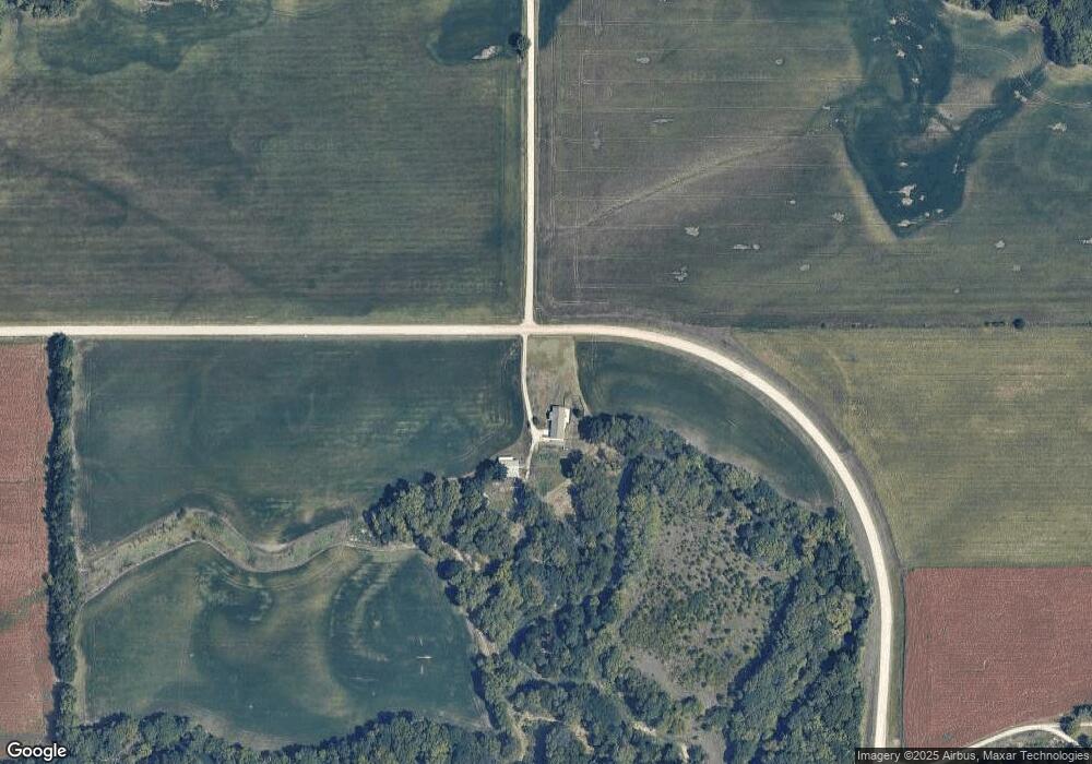
Map
Nearby Homes
- 1411 Deep Creek Ln
- 3381 Mineral Springs Rd
- 3381 Mineral Springs Spur
- 306 Snyder Dr
- 402 1st St
- 0 Emmons Creek Rd
- 13140 Anthony Dr
- 506 Prairie Meadow Rd
- 107 Quail Ct
- 507 Shady Oak Dr
- 00000 Countryside Ln Unit Lot 6
- 00000 Countryside Ln Unit Lot 20
- 00000 Countryside Ln Unit Lot 7
- 00000 Countryside Ln Unit Lot 16
- 00000 Countryside Ln Unit Lot 14
- 00000 Countryside Ln Unit Lot 9
- 00000 Countryside Ln Unit Lot 10
- 00000 Countryside Ln Unit Lot 24
- 00000 Countryside Ln Unit Lot 19
- 00000 Countryside Ln Unit Lot 4