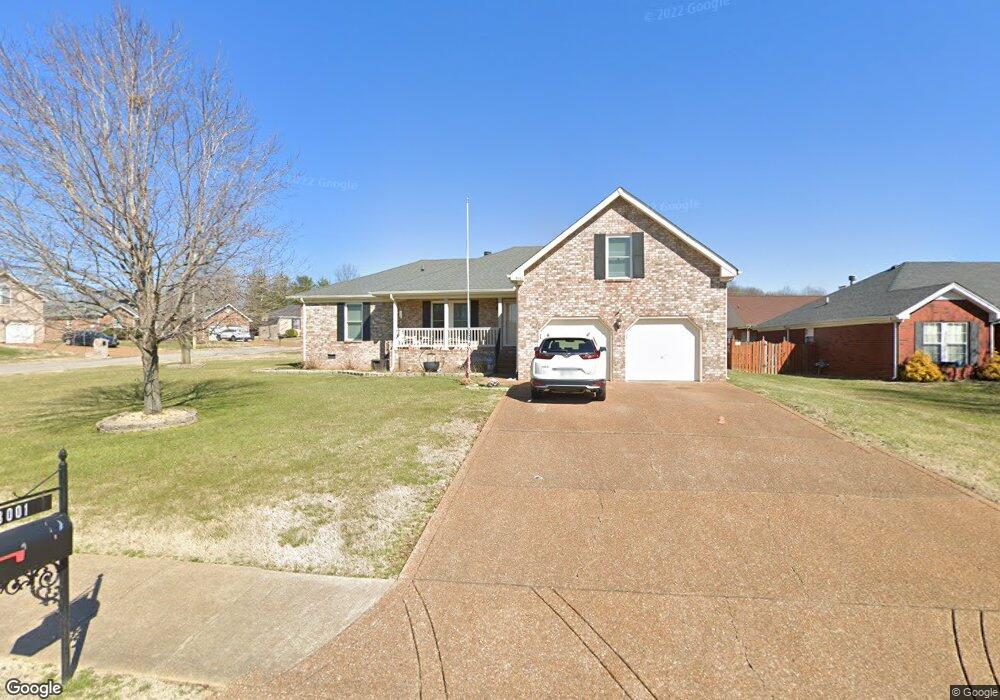
3001 Malton Dr Smyrna, TN 37167
Estimated Value: $392,007 - $471,000
--
Bed
2
Baths
1,961
Sq Ft
$226/Sq Ft
Est. Value
About This Home
This home is located at 3001 Malton Dr, Smyrna, TN 37167 and is currently estimated at $444,002, approximately $226 per square foot. 3001 Malton Dr is a home located in Rutherford County with nearby schools including Rock Springs Elementary School, Rock Springs Middle School, and Stewarts Creek High School.
Ownership History
Date
Name
Owned For
Owner Type
Purchase Details
Closed on
Aug 29, 2003
Sold by
Hillman Charles R and Hillman Karen
Bought by
Austin James G and Austin Cindy
Current Estimated Value
Home Financials for this Owner
Home Financials are based on the most recent Mortgage that was taken out on this home.
Original Mortgage
$171,991
Outstanding Balance
$79,183
Interest Rate
6.13%
Estimated Equity
$364,819
Create a Home Valuation Report for This Property
The Home Valuation Report is an in-depth analysis detailing your home's value as well as a comparison with similar homes in the area
Home Values in the Area
Average Home Value in this Area
Purchase History
| Date | Buyer | Sale Price | Title Company |
|---|---|---|---|
| Austin James G | $174,000 | -- |
Source: Public Records
Mortgage History
| Date | Status | Borrower | Loan Amount |
|---|---|---|---|
| Open | Austin James G | $171,991 |
Source: Public Records
Tax History Compared to Growth
Tax History
| Year | Tax Paid | Tax Assessment Tax Assessment Total Assessment is a certain percentage of the fair market value that is determined by local assessors to be the total taxable value of land and additions on the property. | Land | Improvement |
|---|---|---|---|---|
| 2025 | $2,157 | $89,800 | $13,750 | $76,050 |
| 2024 | $2,157 | $89,800 | $13,750 | $76,050 |
| 2023 | $2,157 | $89,800 | $13,750 | $76,050 |
| 2022 | $1,923 | $89,800 | $13,750 | $76,050 |
| 2021 | $1,958 | $67,025 | $13,750 | $53,275 |
| 2020 | $1,958 | $67,025 | $13,750 | $53,275 |
| 2019 | $1,958 | $67,025 | $13,750 | $53,275 |
| 2018 | $1,877 | $67,025 | $0 | $0 |
| 2017 | $1,729 | $48,525 | $0 | $0 |
| 2016 | $1,729 | $48,525 | $0 | $0 |
| 2015 | $1,729 | $48,525 | $0 | $0 |
| 2014 | $1,207 | $48,525 | $0 | $0 |
| 2013 | -- | $48,625 | $0 | $0 |
Source: Public Records
Map
Nearby Homes
- 5024 Mary Ellen Cir
- 3704 Henricks Hill Dr
- 4009 Maggie Ct
- 6009 Inglenook Dr
- STONEBROOK II Plan at Pottsview
- MILFORD A Plan at Pottsview
- HAYDEN Plan at Pottsview
- SALEM Plan at Pottsview
- 1011 Lily Ann Ct
- 649 Woodburn Dr
- 382 Clarkston Dr
- 342 Zen Ct
- 9005 Phoenix Ct
- 327 Zen Ct
- 11012 Sligo Ct
- 323 Zen Ct
- 319 Zen Ct
- Johnson Plan at Woodmont
- Northbrook Plan at Woodmont
- Sherwood Plan at Woodmont