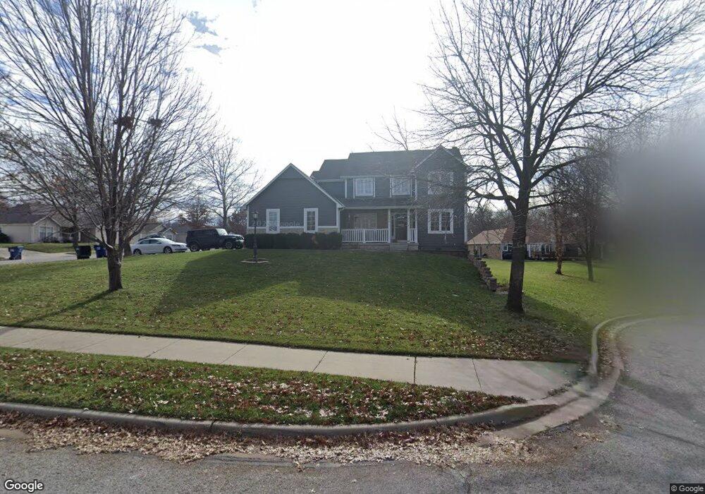
3003 Bently Cir Lawrence, KS 66049
Estimated Value: $396,000 - $436,000
4
Beds
4
Baths
2,181
Sq Ft
$192/Sq Ft
Est. Value
About This Home
This home is located at 3003 Bently Cir, Lawrence, KS 66049 and is currently estimated at $419,460, approximately $192 per square foot. 3003 Bently Cir is a home located in Douglas County with nearby schools including Deerfield Elementary School, West Middle School, and Lawrence Free State High School.
Ownership History
Date
Name
Owned For
Owner Type
Purchase Details
Closed on
May 21, 2008
Sold by
Sanger Stanley M and Sanger Jeanette
Bought by
Morstorf Timothy N and Morstorf Julie D
Current Estimated Value
Home Financials for this Owner
Home Financials are based on the most recent Mortgage that was taken out on this home.
Original Mortgage
$233,414
Outstanding Balance
$149,282
Interest Rate
6.07%
Mortgage Type
Purchase Money Mortgage
Estimated Equity
$270,178
Purchase Details
Closed on
Sep 20, 2001
Sold by
Sanger Stanley M and Sanger Jeanette D
Bought by
Sanger Stanley M and Sanger Jeanette
Home Financials for this Owner
Home Financials are based on the most recent Mortgage that was taken out on this home.
Original Mortgage
$167,950
Interest Rate
6.88%
Mortgage Type
Purchase Money Mortgage
Create a Home Valuation Report for This Property
The Home Valuation Report is an in-depth analysis detailing your home's value as well as a comparison with similar homes in the area
Purchase History
| Date | Buyer | Sale Price | Title Company |
|---|---|---|---|
| Morstorf Timothy N | -- | Capital Title Ins Co Lc | |
| Sanger Stanley M | -- | Douglas County Title Co |
Source: Public Records
Mortgage History
| Date | Status | Borrower | Loan Amount |
|---|---|---|---|
| Open | Morstorf Timothy N | $233,414 | |
| Previous Owner | Sanger Stanley M | $167,950 |
Source: Public Records
Tax History
| Year | Tax Paid | Tax Assessment Tax Assessment Total Assessment is a certain percentage of the fair market value that is determined by local assessors to be the total taxable value of land and additions on the property. | Land | Improvement |
|---|---|---|---|---|
| 2025 | $5,952 | $47,760 | $7,475 | $40,285 |
| 2024 | $5,797 | $46,529 | $7,475 | $39,054 |
| 2023 | $5,624 | $43,631 | $6,900 | $36,731 |
| 2022 | $4,791 | $36,996 | $6,900 | $30,096 |
| 2021 | $4,050 | $30,326 | $5,980 | $24,346 |
| 2020 | $3,981 | $29,969 | $5,980 | $23,989 |
| 2019 | $3,789 | $28,566 | $5,060 | $23,506 |
| 2018 | $3,629 | $27,175 | $4,600 | $22,575 |
| 2017 | $3,527 | $26,128 | $4,600 | $21,528 |
| 2016 | $3,311 | $25,634 | $3,680 | $21,954 |
| 2015 | $3,200 | $24,783 | $3,680 | $21,103 |
| 2014 | $3,175 | $24,829 | $3,680 | $21,149 |
Source: Public Records
Map
Nearby Homes
- 3004 Bently Ct
- 539 Bently Dr
- 556 Brentwood Dr
- 506 Regents St
- Lot 2 Peterson Rd
- 2404 Stowe Dr
- 3528 Tillerman Dr
- 3508 Prairie Clover Ct
- 3533 Eagle Pass Ct
- Lot 5 Weatherhill Cir
- 3611 Prairie Clover Ct
- Lot 6 Weatherhill Cir
- 705 N Eagle Pass Dr
- Lot 1 Fall Creek Rd
- 713 N Eagle Pass Dr
- 415 N Daylily Dr
- 3513 Field Stone Ct
- 3702 Tucker Trail
- 201 Wagon Wheel Rd
- 103 Providence Rd
Your Personal Tour Guide
Ask me questions while you tour the home.