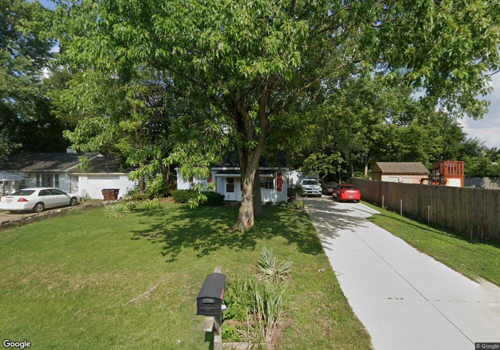
3007 Brent Dr Middletown, OH 45044
Amanda-Oneida NeighborhoodEstimated Value: $100,000 - $126,000
2
Beds
1
Bath
696
Sq Ft
$164/Sq Ft
Est. Value
About This Home
This home is located at 3007 Brent Dr, Middletown, OH 45044 and is currently estimated at $114,007, approximately $163 per square foot. 3007 Brent Dr is a home located in Butler County with nearby schools including Amanda Elementary School, Highview 6th Grade Center, and Middletown Middle School.
Ownership History
Date
Name
Owned For
Owner Type
Purchase Details
Closed on
Nov 23, 2015
Sold by
Ibsen Neil D
Bought by
Ibsen Beverly A
Current Estimated Value
Purchase Details
Closed on
Apr 3, 1996
Sold by
Smith Arnold P
Bought by
Ibsen Neil D and Ibsen Beverly
Home Financials for this Owner
Home Financials are based on the most recent Mortgage that was taken out on this home.
Original Mortgage
$38,500
Interest Rate
5.5%
Mortgage Type
New Conventional
Create a Home Valuation Report for This Property
The Home Valuation Report is an in-depth analysis detailing your home's value as well as a comparison with similar homes in the area
Home Values in the Area
Average Home Value in this Area
Purchase History
| Date | Buyer | Sale Price | Title Company |
|---|---|---|---|
| Ibsen Beverly A | -- | Attorney | |
| Ibsen Neil D | $38,500 | -- |
Source: Public Records
Mortgage History
| Date | Status | Borrower | Loan Amount |
|---|---|---|---|
| Closed | Ibsen Neil D | $38,500 |
Source: Public Records
Tax History Compared to Growth
Tax History
| Year | Tax Paid | Tax Assessment Tax Assessment Total Assessment is a certain percentage of the fair market value that is determined by local assessors to be the total taxable value of land and additions on the property. | Land | Improvement |
|---|---|---|---|---|
| 2024 | $723 | $23,480 | $6,200 | $17,280 |
| 2023 | $735 | $23,480 | $6,200 | $17,280 |
| 2022 | $288 | $13,730 | $4,960 | $8,770 |
| 2021 | $278 | $13,730 | $4,960 | $8,770 |
| 2020 | $491 | $17,180 | $6,200 | $10,980 |
| 2019 | $507 | $7,000 | $3,210 | $3,790 |
| 2018 | $0 | $7,000 | $3,210 | $3,790 |
| 2017 | $0 | $7,000 | $3,210 | $3,790 |
| 2016 | $0 | $7,000 | $3,210 | $3,790 |
| 2015 | $876 | $13,480 | $6,170 | $7,310 |
| 2014 | $1,354 | $13,480 | $6,170 | $7,310 |
| 2013 | $1,354 | $19,380 | $6,170 | $13,210 |
Source: Public Records
Map
Nearby Homes
- 3004 Judy Dr
- 3107 Rufus St
- 3113 Rufus St
- 1102 Forrer St
- 2900 Morgan St
- 3209 Rufus St
- 1613 Sheridan Ave
- 0 Jackson St Unit 895859
- 0 Jackson St Unit 1780028
- 1702 Glenwood Ave
- 1717 Pershing Ave
- 1602 Oxford State Rd
- 580 Diamond Loop
- 1709 Oxford State Rd
- 720 Diamond Loop
- 1511 Meadow Ave
- 712 Buena Ave
- 3221 Yankee Rd
- 3102 Omaha St
- 514 Granada Ave
- 3005 Brent Dr
- 1315 Bernice St
- 3003 Brent Dr
- 1313 Bernice St
- 1317 Bernice St
- 1313 Bernice Ave
- 3010 Ogden Dr
- 3008 Ogden Dr
- 1319 Bernice St
- 1309 Bernice St
- 3006 Ogden Dr
- 3006 Brent Dr
- 3004 Brent Dr
- 1316 Pershing Ave
- 1321 Bernice St
- 1318 Pershing Ave
- 1310 Pershing Ave
- 1307 Bernice St
- 1320 Pershing Ave
- 1308 Pershing Ave