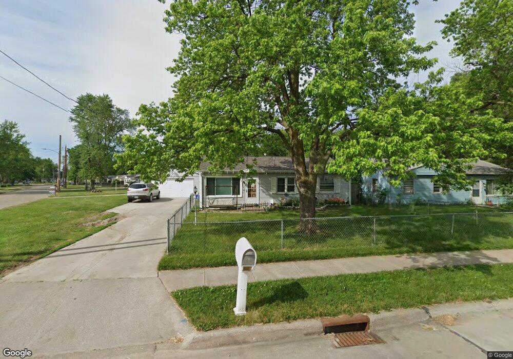
3007 Twin City Dr Council Bluffs, IA 51501
Twin City NeighborhoodEstimated Value: $174,000 - $183,752
3
Beds
1
Bath
925
Sq Ft
$192/Sq Ft
Est. Value
About This Home
This home is located at 3007 Twin City Dr, Council Bluffs, IA 51501 and is currently estimated at $177,438, approximately $191 per square foot. 3007 Twin City Dr is a home located in Pottawattamie County with nearby schools including E.A. Kreft Primary School, Titan Hill Intermediate School, and Lewis Central Middle School.
Ownership History
Date
Name
Owned For
Owner Type
Purchase Details
Closed on
Jan 19, 2006
Sold by
Whisinnand Todd L
Bought by
Whisinnand Todd L and Whisinnand Kitty J
Current Estimated Value
Create a Home Valuation Report for This Property
The Home Valuation Report is an in-depth analysis detailing your home's value as well as a comparison with similar homes in the area
Home Values in the Area
Average Home Value in this Area
Purchase History
| Date | Buyer | Sale Price | Title Company |
|---|---|---|---|
| Whisinnand Todd L | -- | Lts Title Services |
Source: Public Records
Tax History Compared to Growth
Tax History
| Year | Tax Paid | Tax Assessment Tax Assessment Total Assessment is a certain percentage of the fair market value that is determined by local assessors to be the total taxable value of land and additions on the property. | Land | Improvement |
|---|---|---|---|---|
| 2025 | $2,713 | $165,700 | $27,600 | $138,100 |
| 2024 | $2,713 | $137,800 | $24,000 | $113,800 |
| 2023 | $2,625 | $137,800 | $24,000 | $113,800 |
| 2022 | $2,569 | $115,600 | $29,900 | $85,700 |
| 2021 | $3,156 | $115,600 | $29,900 | $85,700 |
| 2020 | $2,475 | $102,800 | $27,000 | $75,800 |
| 2019 | $2,295 | $102,800 | $27,000 | $75,800 |
| 2018 | $2,247 | $91,100 | $27,000 | $64,100 |
| 2017 | $2,167 | $86,000 | $18,402 | $67,598 |
| 2015 | $2,059 | $86,000 | $18,402 | $67,598 |
| 2014 | $2,163 | $86,000 | $18,402 | $67,598 |
Source: Public Records
Map
Nearby Homes
- 42.53 ACRE M L Veterans Memorial Hwy
- 3605 Ramelle Dr
- 22.57 AC M L Richard Downing Ave
- 242.49 AC M L Veterans Memorial Hwy
- 20 ACRES Richard Downing Ave
- .90 ACRES Veterans Memorial Hwy
- 5003 Council Pointe Rd
- 4445 Gifford Rd
- 5121 Council Pointe Rd
- 84.26 Gifford Rd
- 4220 Gifford Rd
- 5212 Crogans Way Rd
- 5313 Crogans Way Rd
- 3204 Gold Rush Rd
- 69 ACRES M L Gifford Rd
- 94.10 ACRE M L Gifford Rd
- 3324 Middle Ferry Rd
- 5225 Hardings Landing Rd
- 4823 E Gifford Rd
- 4.07 ACRES Mid America Dr
- 3009 Twin City Dr
- 4104 Savage St
- 3011 Twin City Dr
- 2913 Twin City Dr
- 4106 Savage St
- 4105 Jewell St
- 4105 Jewel St
- 4107 Jewell St
- 3006 Twin City Dr
- 3004 Twin City Dr
- 3008 Twin City Dr
- 4108 Savage St
- 3013 Twin City Dr
- 2911 Twin City Dr
- 4105 Savage St
- 4109 Jewell St
- 3002 Twin City Dr
- 3010 Twin City Dr
- 4110 Savage St
- 4107 Savage St