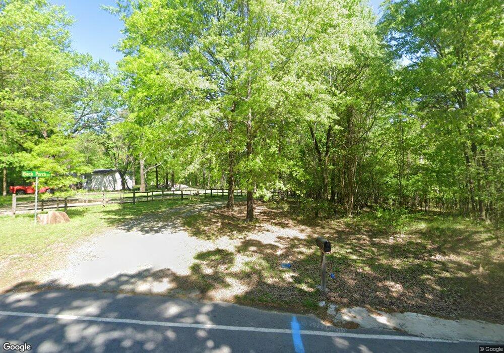
301 Back Porch Little Rock, AR 72210
Estimated Value: $324,916 - $468,000
--
Bed
2
Baths
1,960
Sq Ft
$196/Sq Ft
Est. Value
About This Home
This home is located at 301 Back Porch, Little Rock, AR 72210 and is currently estimated at $383,979, approximately $195 per square foot. 301 Back Porch is a home located in Saline County with nearby schools including Lawson Elementary School, Joe T. Robinson Middle School, and Joe T. Robinson High School.
Ownership History
Date
Name
Owned For
Owner Type
Purchase Details
Closed on
Mar 30, 2012
Sold by
Davis John Mckennon and Davis Phyllis M
Bought by
Davis Phyllis M
Current Estimated Value
Home Financials for this Owner
Home Financials are based on the most recent Mortgage that was taken out on this home.
Original Mortgage
$80,000
Outstanding Balance
$55,216
Interest Rate
3.97%
Mortgage Type
New Conventional
Estimated Equity
$328,763
Purchase Details
Closed on
Oct 10, 2003
Bought by
Davis
Create a Home Valuation Report for This Property
The Home Valuation Report is an in-depth analysis detailing your home's value as well as a comparison with similar homes in the area
Home Values in the Area
Average Home Value in this Area
Purchase History
| Date | Buyer | Sale Price | Title Company |
|---|---|---|---|
| Davis Phyllis M | -- | None Available | |
| Davis | -- | -- |
Source: Public Records
Mortgage History
| Date | Status | Borrower | Loan Amount |
|---|---|---|---|
| Open | Davis Phyllis M | $80,000 |
Source: Public Records
Tax History Compared to Growth
Tax History
| Year | Tax Paid | Tax Assessment Tax Assessment Total Assessment is a certain percentage of the fair market value that is determined by local assessors to be the total taxable value of land and additions on the property. | Land | Improvement |
|---|---|---|---|---|
| 2025 | $1,663 | $52,723 | $10,632 | $42,091 |
| 2024 | $1,663 | $52,723 | $10,632 | $42,091 |
| 2023 | $1,333 | $52,723 | $10,632 | $42,091 |
| 2022 | $1,338 | $52,723 | $10,632 | $42,091 |
| 2021 | $1,338 | $38,580 | $5,320 | $33,260 |
| 2020 | $1,338 | $38,580 | $5,320 | $33,260 |
| 2019 | $1,338 | $38,580 | $5,320 | $33,260 |
| 2018 | $1,363 | $38,580 | $5,320 | $33,260 |
| 2017 | $1,363 | $38,580 | $5,320 | $33,260 |
| 2016 | $1,663 | $32,990 | $5,320 | $27,670 |
| 2015 | $1,663 | $32,990 | $5,320 | $27,670 |
| 2014 | $1,313 | $32,990 | $5,320 | $27,670 |
Source: Public Records
Map
Nearby Homes
- 000 W Colonel Glenn Rd
- 1703 Crested Butte Cir
- 12433 Raindrop Ln
- 466 Rock Ridge Rd
- 2056 Gunnison Dr
- 20377 Congo Ferndale Rd
- 220 W Lawson Rd
- 000 Big Ridge Cove
- 0 Serenity Dr
- 1560 Lawson Oaks Dr
- 1516 E Lawson Rd Unit 1512
- 2091 Ferndale Cove
- 1115 Brookhaven Ct
- 457 Judah Ln
- 14800 Congo Ferndale Rd
- 24923 Colonel Glenn Rd
- 4.06 acres N Lake Norrell Dr
- 211 County Line Rd
- 32315 Kanis Rd
- 464 Reuben Dr
- 18513 Wildlife Ln
- 1224 W Colonel Glenn Rd
- 18512 Wildlife Ln
- 1232 W Colonel Glenn Rd
- 18590 Wildlife Ln
- 1300 W Colonel Glenn Rd
- 1129 W Colonel Glenn Rd
- 1278 W Colonel Glenn Rd
- 1143 W Colonel Glenn Rd
- 0 W Colonel Glenn Rd
- 160 W Colonel Glenn Rd
- 1005 W Colonel Glenn Rd
- 1279 W Colonel Glenn Rd
- 948 W Colonel Glenn Rd
- 929 W Colonel Glenn Rd
- 928 W Colonel Glenn Rd
- 19109 Crystal Oaks Trail
- 1413 W Colonel Glenn Rd
- 19220 Crystal Oaks Trail
- 914 W Colonel Glenn Rd