301 Black Nugget Ln Cle Elum, WA 98922
Estimated Value: $1,424,443 - $1,590,000
3
Beds
3
Baths
2,146
Sq Ft
$707/Sq Ft
Est. Value
About This Home
This home is located at 301 Black Nugget Ln, Cle Elum, WA 98922 and is currently estimated at $1,516,361, approximately $706 per square foot. 301 Black Nugget Ln is a home with nearby schools including Cle Elum Roslyn Elementary School, Walter Strom Middle School, and Cle Elum Roslyn High School.
Ownership History
Date
Name
Owned For
Owner Type
Purchase Details
Closed on
Sep 3, 2014
Sold by
Steve Burnstead Construction Llc
Bought by
Wood David R and Wood Wendy M
Current Estimated Value
Home Financials for this Owner
Home Financials are based on the most recent Mortgage that was taken out on this home.
Original Mortgage
$586,500
Outstanding Balance
$438,144
Interest Rate
3.5%
Mortgage Type
Adjustable Rate Mortgage/ARM
Estimated Equity
$1,078,217
Create a Home Valuation Report for This Property
The Home Valuation Report is an in-depth analysis detailing your home's value as well as a comparison with similar homes in the area
Home Values in the Area
Average Home Value in this Area
Purchase History
| Date | Buyer | Sale Price | Title Company |
|---|---|---|---|
| Wood David R | $690,000 | Amerititle | |
| Wood David R | $690,000 | Amerititle |
Source: Public Records
Mortgage History
| Date | Status | Borrower | Loan Amount |
|---|---|---|---|
| Open | Wood David R | $586,500 |
Source: Public Records
Tax History Compared to Growth
Tax History
| Year | Tax Paid | Tax Assessment Tax Assessment Total Assessment is a certain percentage of the fair market value that is determined by local assessors to be the total taxable value of land and additions on the property. | Land | Improvement |
|---|---|---|---|---|
| 2025 | $8,262 | $1,348,670 | $334,100 | $1,014,570 |
| 2023 | $8,262 | $1,253,790 | $335,800 | $917,990 |
| 2022 | $6,495 | $899,830 | $165,950 | $733,880 |
| 2021 | $6,432 | $849,980 | $143,450 | $706,530 |
| 2019 | $5,608 | $738,040 | $75,200 | $662,840 |
| 2018 | $4,439 | $553,440 | $64,880 | $488,560 |
| 2017 | $4,439 | $553,440 | $64,880 | $488,560 |
| 2016 | $4,454 | $553,440 | $64,880 | $488,560 |
| 2015 | $4,340 | $553,440 | $64,880 | $488,560 |
| 2013 | -- | $42,610 | $42,610 | $0 |
Source: Public Records
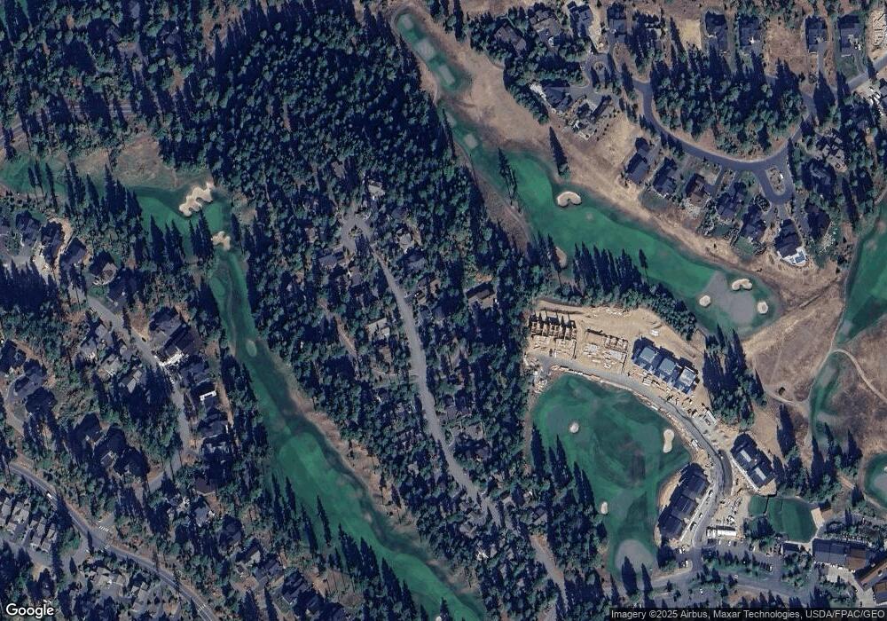
Map
Nearby Homes
- 262 Black Nugget Ln
- 420 Black Nugget Ln
- 100 Black Nugget Ln
- 73 Sweet Shop Ln
- 301 Tipple Hill Loop
- 130 Sweet Shop Ln
- 221 Tipple Hill Loop
- 2101 Coal Mine Way
- 500 Maple Leaf Loop
- 460 Maple Leaf Loop
- 2040 Coal Mine Way
- 681 Maple Leaf Loop
- 282 Cake Box Ln
- 81 Bullwheel Ln
- 501 Maple Leaf Loop
- 221 Cake Box Ln
- 1561 Coal Mine Way
- 223 Cake Box Ln
- 51 Lily Ct
- 1481 Coal Mine Way
- 411 Black Nugget Ln
- 440 Black Nugget Ln
- 401 Black Nugget Ln
- 331 Black Nugget Ln
- 351 Black Nugget Ln
- 430 Black Nugget Ln
- 221 Black Nugget Ln
- 250 Black Nugget Ln
- 281 Black Nugget Ln
- 201 Black Nugget Ln
- 230 Black Nugget Ln
- 290 Black Nugget Ln
- 340 Black Nugget Ln
- 260 Black Nugget Ln
- 210 Black Nugget Ln
- 171 Black Nugget Ln
- 320 Black Nugget Ln
- 190 Black Nugget Ln
- 420 Winemakers Ln