301 Brookside Dr Andover, MA 01810
Far West Andover NeighborhoodEstimated Value: $506,000 - $580,000
3
Beds
3
Baths
1,334
Sq Ft
$410/Sq Ft
Est. Value
About This Home
This home is located at 301 Brookside Dr, Andover, MA 01810 and is currently estimated at $546,889, approximately $409 per square foot. 301 Brookside Dr is a home located in Essex County with nearby schools including High Plain Elementary School, Wood Hill Middle School, and Willow River Secondary School.
Ownership History
Date
Name
Owned For
Owner Type
Purchase Details
Closed on
Dec 4, 2020
Sold by
Machado Wilmar T and Machado Ana D
Bought by
Machado Anapaula D and Machado Wilmar D
Current Estimated Value
Home Financials for this Owner
Home Financials are based on the most recent Mortgage that was taken out on this home.
Original Mortgage
$315,000
Outstanding Balance
$225,423
Interest Rate
2.7%
Mortgage Type
New Conventional
Estimated Equity
$321,466
Purchase Details
Closed on
Oct 27, 2004
Sold by
Brookside Ests Lp
Bought by
Machado Ana D and Machado Wilmar T
Home Financials for this Owner
Home Financials are based on the most recent Mortgage that was taken out on this home.
Original Mortgage
$328,225
Interest Rate
5.74%
Mortgage Type
Purchase Money Mortgage
Create a Home Valuation Report for This Property
The Home Valuation Report is an in-depth analysis detailing your home's value as well as a comparison with similar homes in the area
Home Values in the Area
Average Home Value in this Area
Purchase History
| Date | Buyer | Sale Price | Title Company |
|---|---|---|---|
| Machado Anapaula D | -- | None Available | |
| Machado Ana D | $345,500 | -- | |
| Machado Ana D | $345,500 | -- |
Source: Public Records
Mortgage History
| Date | Status | Borrower | Loan Amount |
|---|---|---|---|
| Open | Machado Anapaula D | $315,000 | |
| Previous Owner | Machado Ana D | $328,225 |
Source: Public Records
Tax History Compared to Growth
Tax History
| Year | Tax Paid | Tax Assessment Tax Assessment Total Assessment is a certain percentage of the fair market value that is determined by local assessors to be the total taxable value of land and additions on the property. | Land | Improvement |
|---|---|---|---|---|
| 2024 | $5,401 | $419,300 | $0 | $419,300 |
| 2023 | $4,983 | $364,800 | $0 | $364,800 |
| 2022 | $4,679 | $320,500 | $0 | $320,500 |
| 2021 | $4,754 | $310,900 | $0 | $310,900 |
| 2020 | $4,563 | $304,000 | $0 | $304,000 |
| 2019 | $4,584 | $300,200 | $0 | $300,200 |
| 2018 | $4,679 | $299,200 | $0 | $299,200 |
| 2017 | $4,533 | $298,600 | $0 | $298,600 |
| 2016 | $4,450 | $300,300 | $0 | $300,300 |
| 2015 | $4,250 | $283,900 | $0 | $283,900 |
Source: Public Records
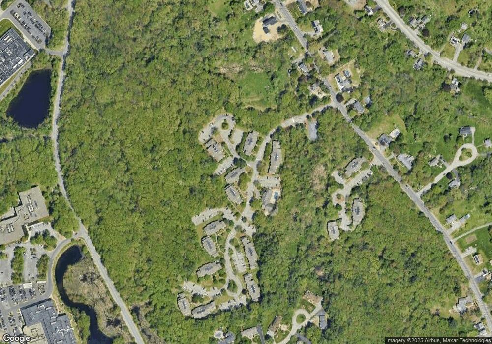
Map
Nearby Homes
- 750 Brookside Dr Unit G
- 29 Glenwood Dr
- 450 Riverside Dr Unit 1
- 0
- 439-443 Riverside Dr
- 11 Devonshire St
- 18 Ames St
- 57 Strathmore Rd
- 945 Riverside Dr Unit 2A
- 96 Beacon St
- 37 Tewksbury St Unit 39
- 32 Glen Ave
- 8 Packard St
- 14-16 Cypress Ave
- 1008 Essex St Unit 1010
- 54 Amherst St
- 95 Hancock St
- 265 Ames St
- 30-32 Linden St
- 88-90 Columbus Ave
- 300 Brookside Dr Unit H
- 300 Brookside Dr Unit G
- 300 Brookside Dr Unit F
- 300 Brookside Dr Unit E
- 300 Brookside Dr Unit D
- 300 Brookside Dr Unit C
- 300 Brookside Dr Unit B
- 300 Brookside Dr Unit A
- 303 Brookside Dr
- 302 Brookside Dr
- 300 Brookside Dr
- 302 Brookside Dr Unit 302
- 300 Brookside Dr Unit G
- 200 Brookside Dr Unit 200A
- 200 Brookside Dr Unit H
- 200 Brookside Dr Unit F
- 200 Brookside Dr Unit E
- 200 Brookside Dr Unit D
- 200 Brookside Dr Unit C
- 200 Brookside Dr Unit B