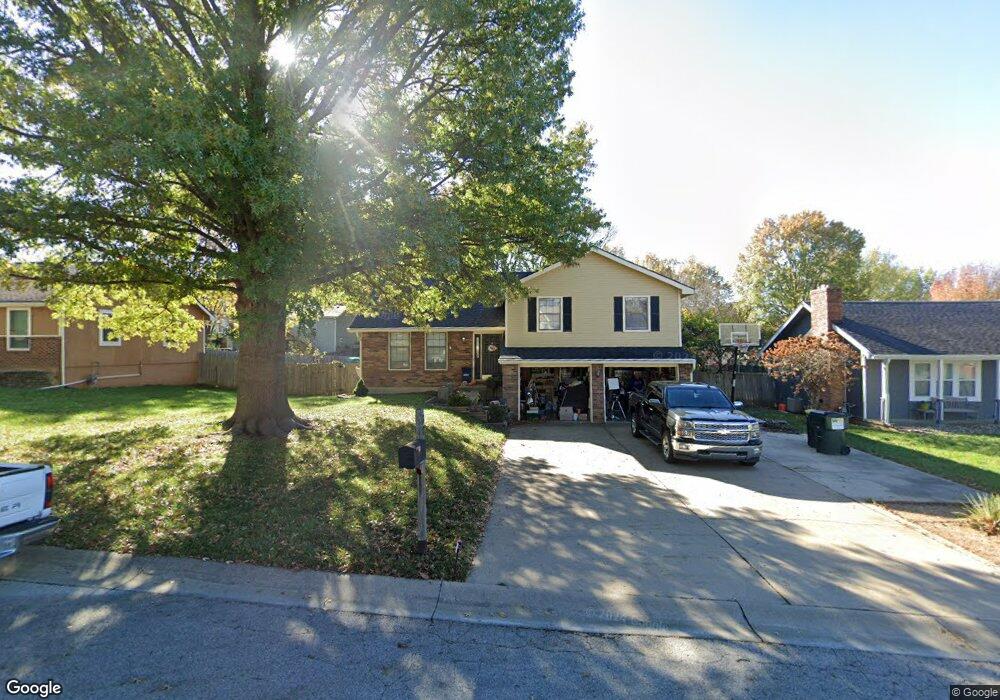
301 Brookwood St Lansing, KS 66043
Estimated Value: $275,000 - $338,000
4
Beds
3
Baths
1,259
Sq Ft
$236/Sq Ft
Est. Value
About This Home
This home is located at 301 Brookwood St, Lansing, KS 66043 and is currently estimated at $296,529, approximately $235 per square foot. 301 Brookwood St is a home located in Leavenworth County with nearby schools including Lansing Elementary School, Lansing Middle 6-8, and Lansing High 9-12.
Ownership History
Date
Name
Owned For
Owner Type
Purchase Details
Closed on
Jun 1, 2002
Bought by
Short Stephen P and Short Anne Marie
Current Estimated Value
Home Financials for this Owner
Home Financials are based on the most recent Mortgage that was taken out on this home.
Original Mortgage
$155,677
Outstanding Balance
$125,803
Interest Rate
6.76%
Mortgage Type
FHA
Estimated Equity
$170,726
Create a Home Valuation Report for This Property
The Home Valuation Report is an in-depth analysis detailing your home's value as well as a comparison with similar homes in the area
Home Values in the Area
Average Home Value in this Area
Purchase History
| Date | Buyer | Sale Price | Title Company |
|---|---|---|---|
| Short Stephen P | $128,000 | -- |
Source: Public Records
Mortgage History
| Date | Status | Borrower | Loan Amount |
|---|---|---|---|
| Open | Short Stephen P | $155,677 | |
| Closed | Short Stephen P | $146,324 |
Source: Public Records
Tax History Compared to Growth
Tax History
| Year | Tax Paid | Tax Assessment Tax Assessment Total Assessment is a certain percentage of the fair market value that is determined by local assessors to be the total taxable value of land and additions on the property. | Land | Improvement |
|---|---|---|---|---|
| 2025 | $3,746 | $28,922 | $5,107 | $23,815 |
| 2024 | $3,492 | $28,155 | $4,049 | $24,106 |
| 2023 | $3,492 | $27,072 | $4,049 | $23,023 |
| 2022 | $3,358 | $24,612 | $3,141 | $21,471 |
| 2021 | $2,995 | $20,896 | $3,141 | $17,755 |
| 2020 | $2,947 | $20,240 | $3,141 | $17,099 |
| 2019 | $2,722 | $18,691 | $3,141 | $15,550 |
| 2018 | $2,559 | $17,595 | $2,608 | $14,987 |
| 2017 | $2,479 | $17,016 | $2,608 | $14,408 |
| 2016 | $2,455 | $16,847 | $2,608 | $14,239 |
| 2015 | $2,447 | $16,847 | $2,608 | $14,239 |
| 2014 | $2,397 | $16,847 | $2,608 | $14,239 |
Source: Public Records
Map
Nearby Homes
- 261 Holiday Dr
- 129 Brookwood St
- 268 Holiday Dr
- 415 Fairlane St
- 319 Holiday Dr
- 512 Fairlane St
- 610 Meadowlark Rd
- 124 S Main St
- 202 S Main St
- 542 Creekside Ct
- 706 N 2nd St
- 73 Continental Dr
- 77 Continental Dr
- 1102 N Main St
- 209 E Kay St
- 4 Eisenhower Rd
- 1100 N 4th St
- 1102 N 4th St
- 218 E Kay St
- 1013 Sycamore Ridge Dr
- 233 Brookwood St
- 309 Brookwood St
- 300 Oakridge St
- 308 Oakridge St
- 232 Oakridge St
- 225 Brookwood St
- 300 Brookwood St
- 232 Brookwood St
- 308 Brookwood St
- 224 Oakridge St
- 224 Brookwood St
- 217 Brookwood St
- 416 Valley Dr
- 400 Valley Dr
- 216 Oakridge St
- 231 Oakridge St
- 315 Fairlane St
- 332 Valley Dr
- 309 Fairlane St
- 216 Brookwood St