301 E Render St Lagrange, GA 30241
Estimated Value: $58,000 - $88,000
2
Beds
1
Bath
913
Sq Ft
$81/Sq Ft
Est. Value
About This Home
This home is located at 301 E Render St, Lagrange, GA 30241 and is currently estimated at $73,617, approximately $80 per square foot. 301 E Render St is a home located in Troup County with nearby schools including Hollis Hand Elementary School, Franklin Forest Elementary School, and Ethel W. Kight Elementary School.
Ownership History
Date
Name
Owned For
Owner Type
Purchase Details
Closed on
Sep 2, 2004
Sold by
Melvin Earl Yohance Cameron
Bought by
Cameron Melvin Earl
Current Estimated Value
Purchase Details
Closed on
Apr 19, 2002
Sold by
Melvin Cameron
Bought by
Melvin Earl Yohance Cameron
Purchase Details
Closed on
Apr 17, 1990
Sold by
Sam Cameron
Bought by
Melvin Cameron
Purchase Details
Closed on
Jan 1, 1971
Sold by
Upchurch A G
Bought by
Sam Cameron
Purchase Details
Closed on
Jan 1, 1959
Sold by
Underwood S A
Bought by
Upchurch A G
Create a Home Valuation Report for This Property
The Home Valuation Report is an in-depth analysis detailing your home's value as well as a comparison with similar homes in the area
Purchase History
| Date | Buyer | Sale Price | Title Company |
|---|---|---|---|
| Cameron Melvin Earl | -- | -- | |
| Melvin Earl Yohance Cameron | -- | -- | |
| Melvin Cameron | $7,500 | -- | |
| Sam Cameron | $3,000 | -- | |
| Upchurch A G | -- | -- |
Source: Public Records
Tax History
| Year | Tax Paid | Tax Assessment Tax Assessment Total Assessment is a certain percentage of the fair market value that is determined by local assessors to be the total taxable value of land and additions on the property. | Land | Improvement |
|---|---|---|---|---|
| 2025 | $353 | $12,960 | $9,960 | $3,000 |
| 2024 | $346 | $12,680 | $9,960 | $2,720 |
| 2023 | $347 | $12,720 | $9,960 | $2,760 |
| 2022 | $348 | $12,480 | $9,960 | $2,520 |
| 2021 | $357 | $11,840 | $7,080 | $4,760 |
| 2020 | $304 | $11,840 | $7,080 | $4,760 |
| 2019 | $361 | $11,960 | $7,080 | $4,880 |
| 2018 | $266 | $8,828 | $2,988 | $5,840 |
| 2017 | $266 | $8,828 | $2,988 | $5,840 |
| 2016 | $264 | $8,763 | $2,988 | $5,775 |
| 2015 | $265 | $8,763 | $2,988 | $5,775 |
| 2014 | $256 | $8,459 | $2,988 | $5,471 |
| 2013 | -- | $8,849 | $2,988 | $5,861 |
Source: Public Records
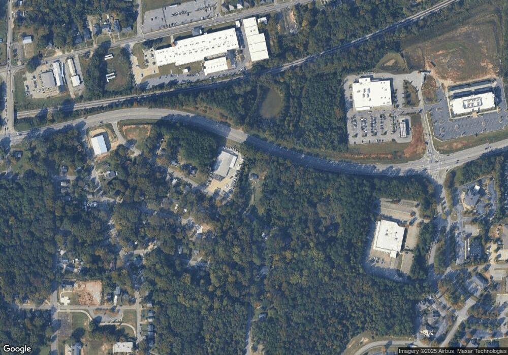
Map
Nearby Homes
- 225 E Render St
- 238 E Render St
- 236 E Render St
- 605 E Render St
- 101 Niles St
- 223 E Render St
- 230 E Render St
- 103 Niles St
- 117 Gallant St
- 308 E Render St
- 221 E Render St
- 310 E Render St
- 115 Gallant St
- 105 Niles St
- 117 Belk St Unit 55
- 226 E Render St
- 120 Gallant St
- 115 Belk St
- 115 Belk St Unit 54
- 224 E Render St
Your Personal Tour Guide
Ask me questions while you tour the home.