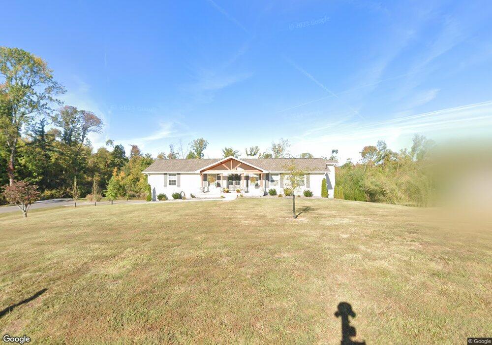
301 Fescue Dr Mount Juliet, TN 37122
Estimated Value: $449,944 - $554,000
--
Bed
3
Baths
1,811
Sq Ft
$280/Sq Ft
Est. Value
About This Home
This home is located at 301 Fescue Dr, Mount Juliet, TN 37122 and is currently estimated at $506,236, approximately $279 per square foot. 301 Fescue Dr is a home located in Wilson County with nearby schools including Springdale Elementary School, West Wilson Middle School, and Mt. Juliet High School.
Ownership History
Date
Name
Owned For
Owner Type
Purchase Details
Closed on
Sep 29, 2014
Sold by
Flatt Mary Jo
Bought by
Crisp Jacob and Crisp Rachel
Current Estimated Value
Home Financials for this Owner
Home Financials are based on the most recent Mortgage that was taken out on this home.
Original Mortgage
$180,667
Outstanding Balance
$141,741
Interest Rate
4.75%
Mortgage Type
FHA
Estimated Equity
$364,495
Purchase Details
Closed on
Apr 28, 1987
Bought by
Flatt Mary Jo
Purchase Details
Closed on
Jul 15, 1977
Bought by
Flatt Jerry E and Flatt Mary
Create a Home Valuation Report for This Property
The Home Valuation Report is an in-depth analysis detailing your home's value as well as a comparison with similar homes in the area
Home Values in the Area
Average Home Value in this Area
Purchase History
| Date | Buyer | Sale Price | Title Company |
|---|---|---|---|
| Crisp Jacob | $184,000 | -- | |
| Flatt Mary Jo | -- | -- | |
| Flatt Jerry E | -- | -- |
Source: Public Records
Mortgage History
| Date | Status | Borrower | Loan Amount |
|---|---|---|---|
| Open | Crisp Jacob | $180,667 |
Source: Public Records
Tax History Compared to Growth
Tax History
| Year | Tax Paid | Tax Assessment Tax Assessment Total Assessment is a certain percentage of the fair market value that is determined by local assessors to be the total taxable value of land and additions on the property. | Land | Improvement |
|---|---|---|---|---|
| 2024 | $1,635 | $85,675 | $21,250 | $64,425 |
| 2022 | $1,609 | $84,300 | $21,250 | $63,050 |
| 2021 | $1,702 | $84,300 | $21,250 | $63,050 |
| 2020 | $1,340 | $84,300 | $21,250 | $63,050 |
| 2019 | $166 | $49,900 | $15,625 | $34,275 |
| 2018 | $1,340 | $49,900 | $15,625 | $34,275 |
| 2017 | $1,340 | $49,900 | $15,625 | $34,275 |
| 2016 | $1,340 | $49,900 | $15,625 | $34,275 |
| 2015 | $1,382 | $49,900 | $15,625 | $34,275 |
| 2014 | $1,171 | $42,260 | $0 | $0 |
Source: Public Records
Map
Nearby Homes
- 1146 Secretariat Dr
- 1142 Secretariat Dr
- 217 Trevor Dr
- 1 Dogwood Dr
- 210 Trevor Dr
- 100 Catalpa Dr
- 312 Buckner Cir
- 118 Jane Crossing
- 104 Jane Crossing
- 5080 Citation Dr
- 1402 Fairview Dr
- 4010 Affirmed Dr
- 4000 Affirmed Dr
- 1044 Secretariat Dr
- 9015 Grayson Cir
- 4014 Ethan Ave
- 3107 Oxford Dr
- 5041 Winslow Dr
- 1617 Southhampton Way
- 560 John Wright Rd