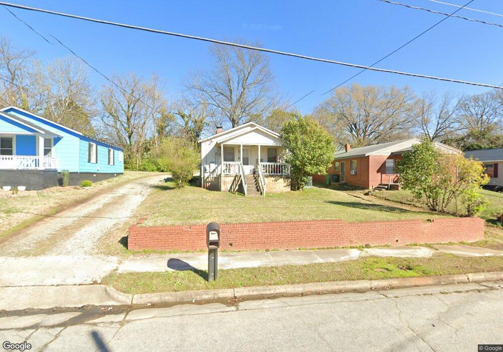
301 Hay St High Point, NC 27260
Greater High Point NeighborhoodEstimated Value: $86,000 - $124,000
2
Beds
1
Bath
720
Sq Ft
$142/Sq Ft
Est. Value
About This Home
This home is located at 301 Hay St, High Point, NC 27260 and is currently estimated at $101,925, approximately $141 per square foot. 301 Hay St is a home located in Guilford County with nearby schools including Parkview Village Elementary School, Southwest Guilford Middle School, and Southwest Guilford High School.
Ownership History
Date
Name
Owned For
Owner Type
Purchase Details
Closed on
Dec 9, 2014
Sold by
Tomlin Michael D
Bought by
Johnson Oris Lynn
Current Estimated Value
Home Financials for this Owner
Home Financials are based on the most recent Mortgage that was taken out on this home.
Original Mortgage
$10,800
Outstanding Balance
$8,324
Interest Rate
4.09%
Mortgage Type
Purchase Money Mortgage
Estimated Equity
$93,601
Purchase Details
Closed on
Aug 21, 2001
Sold by
Shelton James D and Shelton Sandra Ann
Bought by
Carter/Farris Properties
Create a Home Valuation Report for This Property
The Home Valuation Report is an in-depth analysis detailing your home's value as well as a comparison with similar homes in the area
Home Values in the Area
Average Home Value in this Area
Purchase History
| Date | Buyer | Sale Price | Title Company |
|---|---|---|---|
| Johnson Oris Lynn | $14,000 | None Available | |
| Carter/Farris Properties | -- | -- |
Source: Public Records
Mortgage History
| Date | Status | Borrower | Loan Amount |
|---|---|---|---|
| Open | Johnson Oris Lynn | $10,800 |
Source: Public Records
Tax History
| Year | Tax Paid | Tax Assessment Tax Assessment Total Assessment is a certain percentage of the fair market value that is determined by local assessors to be the total taxable value of land and additions on the property. | Land | Improvement |
|---|---|---|---|---|
| 2025 | $444 | $32,200 | $8,000 | $24,200 |
| 2024 | $444 | $32,200 | $8,000 | $24,200 |
| 2023 | $444 | $32,200 | $8,000 | $24,200 |
| 2022 | $434 | $32,200 | $8,000 | $24,200 |
| 2021 | $259 | $18,800 | $4,000 | $14,800 |
| 2020 | $259 | $18,800 | $4,000 | $14,800 |
| 2019 | $259 | $18,800 | $0 | $0 |
| 2018 | $258 | $18,800 | $0 | $0 |
| 2017 | $258 | $18,800 | $0 | $0 |
| 2016 | $187 | $13,300 | $0 | $0 |
| 2015 | $188 | $13,300 | $0 | $0 |
| 2014 | $191 | $13,300 | $0 | $0 |
Source: Public Records
Map
Nearby Homes
- 1224 S Downing St
- 412 Meredith St
- 410 Meredith St
- 1201 Pearson Place
- 1204 Pearson Place
- 1504 East Ave
- 1219 Furlough Ave
- 1506 East Ave
- 1614 Oneka Ave
- 505 Kent Ct
- 205 Beach St
- 1423 E Commerce Ave
- 114 Eccles Place
- 1314 Franklin Ave
- 811 Worth St
- 1908 Leonard Ave
- 402 Walnut St
- 1508 Boundary Ave
- 1602 Boundary Ave
- 1604 Boundary Ave
Your Personal Tour Guide
Ask me questions while you tour the home.