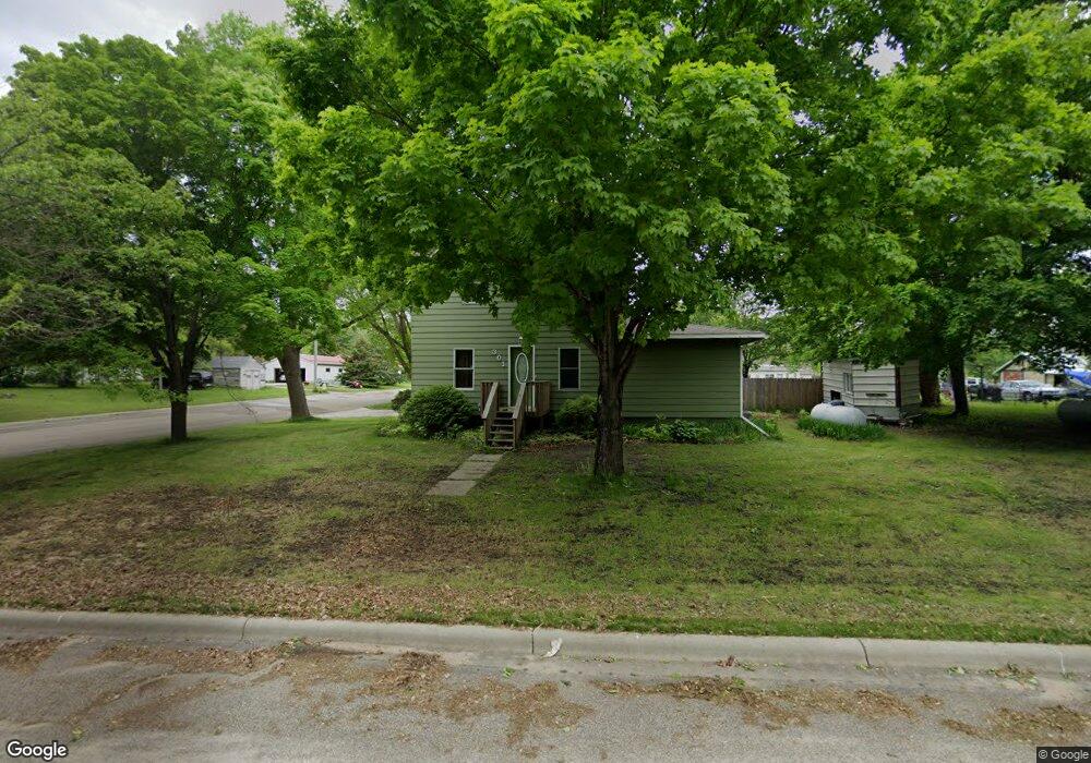
301 Hayes Ave Brandon, MN 56315
Estimated Value: $219,000 - $274,000
3
Beds
3
Baths
1,976
Sq Ft
$122/Sq Ft
Est. Value
About This Home
This home is located at 301 Hayes Ave, Brandon, MN 56315 and is currently estimated at $240,493, approximately $121 per square foot. 301 Hayes Ave is a home located in Douglas County with nearby schools including Brandon Elementary School, Evansville Elementary School, and Brandon-Evansville Middle School.
Ownership History
Date
Name
Owned For
Owner Type
Purchase Details
Closed on
Jul 23, 2019
Sold by
Heilman Wade J and Heilman Kristin
Bought by
Conroy Chad C and Conroy Trisha
Current Estimated Value
Home Financials for this Owner
Home Financials are based on the most recent Mortgage that was taken out on this home.
Original Mortgage
$148,265
Outstanding Balance
$129,706
Interest Rate
3.75%
Mortgage Type
FHA
Estimated Equity
$110,787
Create a Home Valuation Report for This Property
The Home Valuation Report is an in-depth analysis detailing your home's value as well as a comparison with similar homes in the area
Home Values in the Area
Average Home Value in this Area
Purchase History
| Date | Buyer | Sale Price | Title Company |
|---|---|---|---|
| Conroy Chad C | $151,000 | Integrity Title Inc |
Source: Public Records
Mortgage History
| Date | Status | Borrower | Loan Amount |
|---|---|---|---|
| Open | Conroy Chad C | $148,265 |
Source: Public Records
Tax History Compared to Growth
Tax History
| Year | Tax Paid | Tax Assessment Tax Assessment Total Assessment is a certain percentage of the fair market value that is determined by local assessors to be the total taxable value of land and additions on the property. | Land | Improvement |
|---|---|---|---|---|
| 2025 | $938 | $209,000 | $14,300 | $194,700 |
| 2024 | $938 | $201,900 | $14,300 | $187,600 |
| 2023 | $2,926 | $180,400 | $14,300 | $166,100 |
| 2022 | $2,074 | $159,000 | $14,300 | $144,700 |
| 2021 | $1,822 | $137,900 | $14,300 | $123,600 |
| 2020 | $1,558 | $133,700 | $14,300 | $119,400 |
| 2019 | $1,348 | $115,100 | $14,300 | $100,800 |
| 2018 | $1,248 | $112,400 | $14,300 | $98,100 |
| 2017 | $1,214 | $108,900 | $14,300 | $94,600 |
| 2016 | $1,160 | $103,111 | $13,871 | $89,240 |
| 2015 | $1,120 | $0 | $0 | $0 |
| 2014 | -- | $99,100 | $15,200 | $83,900 |
Source: Public Records
Map
Nearby Homes
- 206 3rd St E
- 310 Lot1.1 Mallard Ln
- 404 Lot1.2 Mallard Ln
- 408 Lot1.4 5th St
- 406 Lot1.3 5th St
- 402 Lot #1 6th St E
- 420 Lot#5 6th St E
- 416 Lot#4 6th St E
- TBD County Road 82 NW
- 503 Lot#19 6th St E
- 505 Lot#18 6th St E
- 424 Lot#6 6th St E
- 505 Lot#9 5th St
- 507 Lot#17 6th St E
- 504 Lot#7 6th St E
- 504 Lot#11 5th St
- 507 Lot#10 5th St
- 509 Lot#16 6th St E
- 207 Prairie Ave
- 12923 Tanglewood Rd NW