301 Maxwell Ct SW Shellsburg, IA 52332
Estimated Value: $236,000 - $274,000
3
Beds
3
Baths
1,306
Sq Ft
$198/Sq Ft
Est. Value
About This Home
This home is located at 301 Maxwell Ct SW, Shellsburg, IA 52332 and is currently estimated at $258,009, approximately $197 per square foot. 301 Maxwell Ct SW is a home located in Benton County with nearby schools including Shellsburg Elementary School, Vinton-Shellsburg Middle School, and Vinton-Shellsburg High School.
Ownership History
Date
Name
Owned For
Owner Type
Purchase Details
Closed on
Jun 24, 2014
Sold by
Naaktgeboren Ruth A
Bought by
Pettyjohn Chad E and Pettyjohn Jennifer
Current Estimated Value
Home Financials for this Owner
Home Financials are based on the most recent Mortgage that was taken out on this home.
Original Mortgage
$111,200
Outstanding Balance
$84,740
Interest Rate
4.25%
Mortgage Type
Adjustable Rate Mortgage/ARM
Estimated Equity
$173,269
Create a Home Valuation Report for This Property
The Home Valuation Report is an in-depth analysis detailing your home's value as well as a comparison with similar homes in the area
Purchase History
| Date | Buyer | Sale Price | Title Company |
|---|---|---|---|
| Pettyjohn Chad E | $139,000 | None Available |
Source: Public Records
Mortgage History
| Date | Status | Borrower | Loan Amount |
|---|---|---|---|
| Open | Pettyjohn Chad E | $111,200 |
Source: Public Records
Tax History
| Year | Tax Paid | Tax Assessment Tax Assessment Total Assessment is a certain percentage of the fair market value that is determined by local assessors to be the total taxable value of land and additions on the property. | Land | Improvement |
|---|---|---|---|---|
| 2025 | $3,096 | $225,800 | $32,500 | $193,300 |
| 2024 | $3,096 | $186,900 | $31,700 | $155,200 |
| 2023 | $3,100 | $186,900 | $31,700 | $155,200 |
| 2022 | $3,060 | $164,800 | $25,300 | $139,500 |
| 2021 | $3,060 | $164,800 | $25,300 | $139,500 |
| 2020 | $3,002 | $159,900 | $23,600 | $136,300 |
| 2019 | $2,960 | $159,900 | $23,600 | $136,300 |
| 2018 | $2,848 | $157,800 | $21,900 | $135,900 |
| 2017 | $2,878 | $157,800 | $21,900 | $135,900 |
| 2016 | $2,818 | $151,800 | $21,100 | $130,700 |
| 2015 | $2,818 | $151,800 | $21,100 | $130,700 |
| 2014 | $2,954 | $158,400 | $0 | $0 |
Source: Public Records
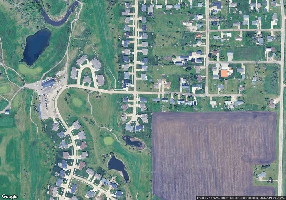
Map
Nearby Homes
- 301 Wildcat Ct
- 700 Sunset Blvd
- 401 Main St NW
- 804 Fairway Dr
- 201 Grove St NW
- 6127 32nd Ave Unit Lot 3
- 105 Meadow Dr
- 103 Meadow Dr
- 410 Cottage St NW
- 101 Meadow Dr
- 208 Northgate St NW
- 0 31st Ave
- 2573 Linn Benton Rd
- 0 Benton Linn Rd
- 926 Indigo Dr
- 736 Indigo Dr
- 827 Indigo Dr
- Lots 223 & 224 Juneberry Dr
- Lots 225 & 226 Juneberry Dr
- Lots 217 & 218 Juneberry Dr
- 303 Maxwell Ct SW
- 212 Autumn St SW
- 305 Maxwell Ct SW
- 210 Autumn St SW
- 300 Maxwell Ct SW
- 211 Autumn St SW
- 302 Maxwell Ct SW
- 217 Maxwell Dr SW
- 220 Maxwell Dr SW
- 208 Autumn St SW
- 304 Maxwell Ct SW
- 209 Autumn St SW
- 215 Maxwell Dr SW
- 307 Maxwell Ct SW
- 218 Maxwell Dr SW
- 306 Maxwell Ct SW
- 206 Autumn St SW
- 216 Maxwell Dr SW
- 0 Maxwell Dr
- 213 Maxwell Dr SW
Your Personal Tour Guide
Ask me questions while you tour the home.