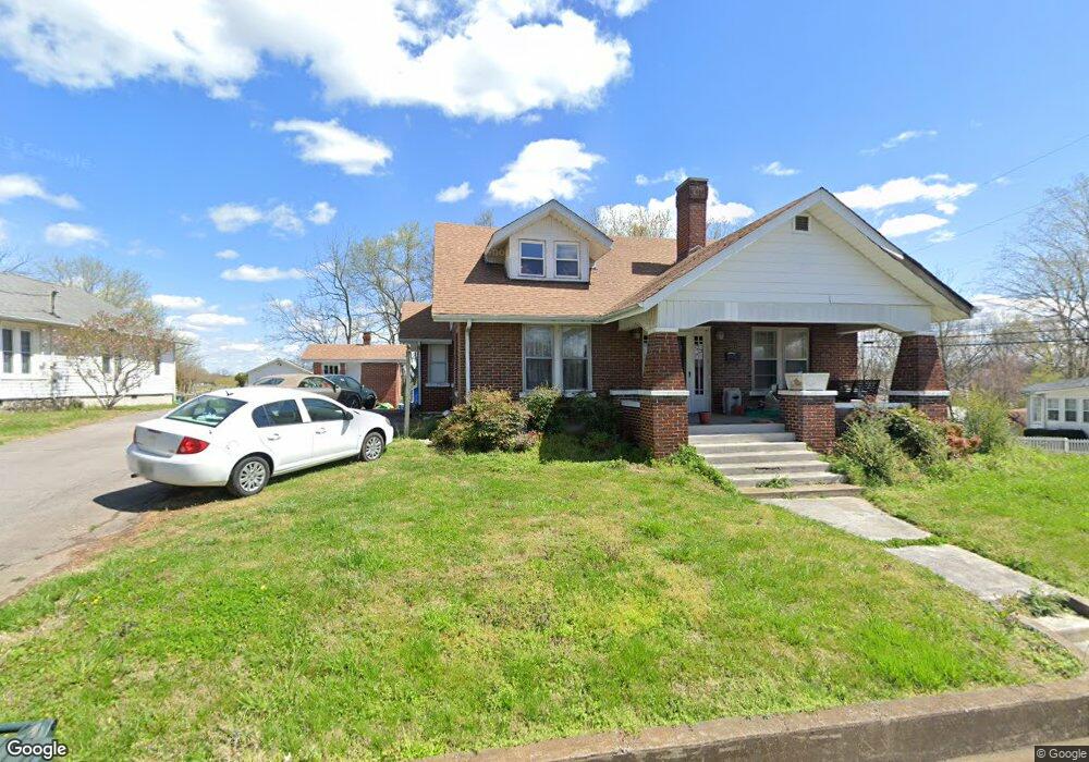
301 Murrell St Dickson, TN 37055
Estimated Value: $281,109 - $349,000
Studio
1
Bath
1,529
Sq Ft
$207/Sq Ft
Est. Value
About This Home
This home is located at 301 Murrell St, Dickson, TN 37055 and is currently estimated at $315,777, approximately $206 per square foot. 301 Murrell St is a home located in Dickson County with nearby schools including Centennial Elementary School, Dickson Middle School, and Dickson County High School.
Ownership History
Date
Name
Owned For
Owner Type
Purchase Details
Closed on
Mar 3, 2000
Bought by
Godwin Millard & Marilynn Revocable Living Tr
Current Estimated Value
Purchase Details
Closed on
May 4, 1995
Sold by
Reeder Peggy Lee
Bought by
Sisco Bob
Purchase Details
Closed on
Jan 18, 1993
Bought by
Reeder Peggy Lee
Purchase Details
Closed on
Oct 4, 1991
Bought by
Reeder Peggy L
Purchase Details
Closed on
Jul 16, 1985
Bought by
Beuerman Mark C
Create a Home Valuation Report for This Property
The Home Valuation Report is an in-depth analysis detailing your home's value as well as a comparison with similar homes in the area
Home Values in the Area
Average Home Value in this Area
Purchase History
| Date | Buyer | Sale Price | Title Company |
|---|---|---|---|
| Godwin Millard & Marilynn Revocable Living Tr | $121,600 | -- | |
| Sisco Bob | $65,000 | -- | |
| Reeder Peggy Lee | -- | -- | |
| Reeder Peggy L | $40,000 | -- | |
| Beuerman Mark C | -- | -- |
Source: Public Records
Tax History
| Year | Tax Paid | Tax Assessment Tax Assessment Total Assessment is a certain percentage of the fair market value that is determined by local assessors to be the total taxable value of land and additions on the property. | Land | Improvement |
|---|---|---|---|---|
| 2025 | -- | $61,425 | $13,075 | $48,350 |
| 2024 | -- | $59,600 | $13,075 | $46,525 |
| 2023 | $1,310 | $41,950 | $7,775 | $34,175 |
| 2022 | $1,310 | $41,950 | $7,775 | $34,175 |
| 2021 | $1,310 | $41,950 | $7,775 | $34,175 |
| 2020 | $1,310 | $41,950 | $7,775 | $34,175 |
| 2019 | $1,310 | $41,950 | $7,775 | $34,175 |
| 2018 | $1,315 | $36,050 | $7,000 | $29,050 |
| 2017 | $1,315 | $36,050 | $7,000 | $29,050 |
| 2016 | $1,315 | $36,050 | $7,000 | $29,050 |
| 2015 | $1,214 | $31,300 | $7,000 | $24,300 |
| 2014 | $1,214 | $31,300 | $7,000 | $24,300 |
Source: Public Records
Map
Nearby Homes
- 202 W College St Unit 4
- 110 Mccreary Heights
- 0 Tucker Rd Unit RTC3051077
- 213 Mccreary Heights
- 414 W College St
- 500 Church St
- 402 S Mulberry St
- 129 Ironhorse Way
- 0 Henslee Dr Spring St Unit RTC3128657
- 701 W 5th St
- 406 High St
- 430 Center Ave
- 501 High St Unit A
- 422 High St
- 313 Hardin Ave
- 0 Country Club Dr Unit RTC3118750
- 909 W 1st St
- 0 Hardin Ave
- 0 Highway 46 Unit RTC2944647
- 210 Hardin Ave
- 303 Murrell St
- 209 Murrell St
- 305 Murrell St
- 403 N Charlotte St
- 300 Murrell St Unit ST300
- 405 N Charlotte St
- 207 Murrell St
- 302 Murrell St
- 0 Ccc Rd Unit 1938515
- 0 Truform Way Unit 1863282
- 0 Garton Rd Unit 1842686
- 0 Caps Ridge Unit 1836301
- 0 Churchill Dr Unit 1834948
- 0 Churchill Dr Unit 1834892
- 0 Dewey Dr Charles Ct Unit 1833022
- 0 Rocky Dr Unit 1581814
- 0 Bbq Rd Unit 1684998
- 0 Rocky Dr Unit 1812886
- 0 Rocky Dr Unit 1812876
- 0 Bbq Rd Unit 1684976
Your Personal Tour Guide
Ask me questions while you tour the home.