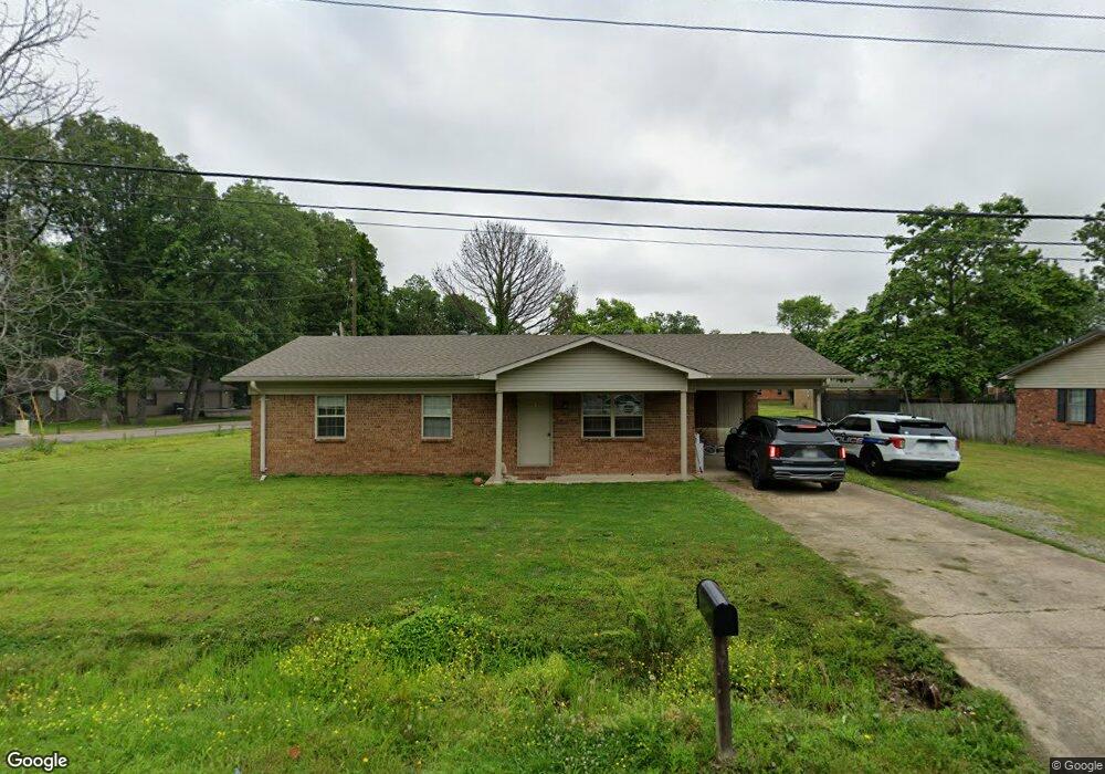
301 Robin Ln Walnut Ridge, AR 72476
Estimated Value: $121,254 - $131,000
Studio
2
Baths
1,161
Sq Ft
$109/Sq Ft
Est. Value
About This Home
This home is located at 301 Robin Ln, Walnut Ridge, AR 72476 and is currently estimated at $126,814, approximately $109 per square foot. 301 Robin Ln is a home located in Lawrence County with nearby schools including Walnut Ridge Elementary School and Walnut Ridge High School.
Ownership History
Date
Name
Owned For
Owner Type
Purchase Details
Closed on
Sep 19, 2019
Sold by
Coker Teddy and Coker Martha
Bought by
Swindle Roger and Swindle Rickey
Current Estimated Value
Home Financials for this Owner
Home Financials are based on the most recent Mortgage that was taken out on this home.
Original Mortgage
$70,000
Interest Rate
3.6%
Mortgage Type
Commercial
Purchase Details
Closed on
Aug 28, 2019
Sold by
Swindle Tammy
Bought by
Swindle Roger
Home Financials for this Owner
Home Financials are based on the most recent Mortgage that was taken out on this home.
Original Mortgage
$70,000
Interest Rate
3.6%
Mortgage Type
Commercial
Purchase Details
Closed on
Dec 17, 2018
Sold by
White Ricky V and White Ricky L
Bought by
Swindle Roger and Swindle Tammy
Purchase Details
Closed on
Mar 25, 1997
Bought by
White Rickey L
Purchase Details
Closed on
Jul 10, 1990
Bought by
White Rickey L and White Elizabeth
Purchase Details
Closed on
Mar 13, 1990
Bought by
S A U
Create a Home Valuation Report for This Property
The Home Valuation Report is an in-depth analysis detailing your home's value as well as a comparison with similar homes in the area
Home Values in the Area
Average Home Value in this Area
Purchase History
| Date | Buyer | Sale Price | Title Company |
|---|---|---|---|
| Swindle Roger | $10,000 | None Available | |
| Swindle Roger | -- | None Available | |
| Swindle Roger | $5,000 | None Available | |
| White Rickey L | -- | -- | |
| White Rickey L | -- | -- | |
| S A U | -- | -- |
Source: Public Records
Mortgage History
| Date | Status | Borrower | Loan Amount |
|---|---|---|---|
| Closed | Swindle Roger | $70,000 |
Source: Public Records
Tax History
| Year | Tax Paid | Tax Assessment Tax Assessment Total Assessment is a certain percentage of the fair market value that is determined by local assessors to be the total taxable value of land and additions on the property. | Land | Improvement |
|---|---|---|---|---|
| 2025 | $360 | $18,205 | $4,000 | $14,205 |
| 2024 | $360 | $18,205 | $4,000 | $14,205 |
| 2023 | $330 | $18,205 | $4,000 | $14,205 |
| 2022 | $300 | $6,630 | $1,600 | $5,030 |
| 2021 | $300 | $6,630 | $1,600 | $5,030 |
| 2020 | $300 | $6,630 | $1,600 | $5,030 |
| 2019 | $300 | $6,630 | $1,600 | $5,030 |
| 2018 | $300 | $6,630 | $1,600 | $5,030 |
| 2017 | $0 | $7,420 | $1,600 | $5,820 |
| 2016 | -- | $7,420 | $1,600 | $5,820 |
| 2015 | -- | $7,420 | $1,600 | $5,820 |
| 2014 | -- | $7,420 | $1,600 | $5,820 |
Source: Public Records
Map
Nearby Homes
Your Personal Tour Guide
Ask me questions while you tour the home.