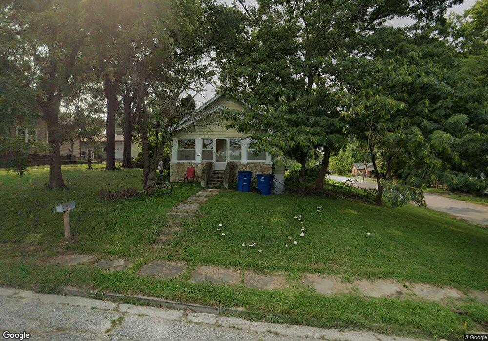
301 S Ashby Ave Chanute, KS 66720
Estimated Value: $47,000 - $84,000
2
Beds
1
Bath
1,215
Sq Ft
$52/Sq Ft
Est. Value
About This Home
This home is located at 301 S Ashby Ave, Chanute, KS 66720 and is currently estimated at $63,689, approximately $52 per square foot. 301 S Ashby Ave is a home located in Neosho County with nearby schools including Chanute Elementary School, Royster Middle School, and Chanute High School.
Ownership History
Date
Name
Owned For
Owner Type
Purchase Details
Closed on
Dec 28, 2020
Bought by
Ornelas Kenneth L
Current Estimated Value
Create a Home Valuation Report for This Property
The Home Valuation Report is an in-depth analysis detailing your home's value as well as a comparison with similar homes in the area
Home Values in the Area
Average Home Value in this Area
Purchase History
| Date | Buyer | Sale Price | Title Company |
|---|---|---|---|
| Ornelas Kenneth L | $46,000 | -- |
Source: Public Records
Tax History Compared to Growth
Tax History
| Year | Tax Paid | Tax Assessment Tax Assessment Total Assessment is a certain percentage of the fair market value that is determined by local assessors to be the total taxable value of land and additions on the property. | Land | Improvement |
|---|---|---|---|---|
| 2025 | $580 | $3,620 | $300 | $3,320 |
| 2024 | $567 | $3,585 | $274 | $3,311 |
| 2023 | -- | $3,515 | $274 | $3,241 |
| 2022 | -- | $3,166 | $148 | $3,018 |
| 2021 | -- | $3,044 | $148 | $2,896 |
| 2020 | -- | -- | $148 | $2,896 |
| 2019 | -- | -- | $148 | $2,866 |
| 2018 | -- | -- | $148 | $2,807 |
| 2017 | -- | -- | $148 | $2,807 |
| 2016 | -- | -- | $148 | $2,807 |
| 2015 | -- | -- | $148 | $2,807 |
| 2014 | -- | -- | $148 | $2,807 |
Source: Public Records
Map
Nearby Homes
- 426 S Ashby Ave
- 209 S Highland Ave
- 517 S Evergreen Ave
- 420 S Lincoln Ave
- 212 N Evergreen Ave
- 630 S Evergreen Ave
- 519 S Lincoln Ave
- 605 S Lincoln Ave
- 902 S Central Ave
- 508 N Evergreen Ave
- 906 S Lincoln Ave
- 216 W Main St
- 229 W 3rd St
- 320 W Main St
- 407 W 3rd St
- 422 W 4th St
- 417 W 5th St
- 1130 S Santa fe Ave
- 514 N Garfield Ave
- 802 N Forest Ave
- 311 S Ashby Ave
- 315 S Ashby Ave
- 219 S Ashby Ave
- 304 S Malcolm Ave
- 310 S Malcolm Ave
- 319 S Ashby Ave
- 312 S Malcolm Ave
- 318 S Malcolm Ave
- 320 S Malcolm Ave
- 220 S Malcolm Ave
- 402 S Malcolm Ave
- 405 S Ashby Ave
- 301 S Malcolm Ave
- 406 S Malcolm Ave
- 315 S Malcolm Ave
- 409 S Ashby Ave
- 402 S Ashby Ave
- 412 S Malcolm Ave
- 415 S Ashby Ave
- 414 S Malcolm Ave