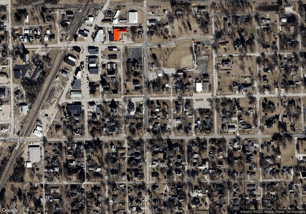
301 S Division St Chenoa, IL 61726
Estimated Value: $168,000 - $210,000
--
Bed
--
Bath
1,885
Sq Ft
$99/Sq Ft
Est. Value
About This Home
This home is located at 301 S Division St, Chenoa, IL 61726 and is currently estimated at $185,919, approximately $98 per square foot. 301 S Division St is a home with nearby schools including Prairie Central High School.
Ownership History
Date
Name
Owned For
Owner Type
Purchase Details
Closed on
Sep 3, 2025
Sold by
Lori A Steidinger Revocable Trust and Steidinger Ryan D
Bought by
Ryan D Steidinger Revocable Trust and Steidinger
Current Estimated Value
Purchase Details
Closed on
Mar 1, 2019
Sold by
Steidinger Ryan D and Steidinger Lori A
Bought by
Steidinger Ryan D and Ryan D Steidinger Revocable Trust
Purchase Details
Closed on
May 29, 2010
Sold by
Weber Dennis D and Weber Bruce L
Bought by
Weber Dennis D and Weber Linda
Purchase Details
Closed on
Nov 10, 2009
Sold by
Weber Dennis and Weber Jeffery
Bought by
Weber Dennis D and Weber Linda
Purchase Details
Closed on
Nov 20, 2008
Sold by
Jackson Timothy P and Jackson Janet M
Bought by
Jackson Gabriel and Jackson Nicole
Home Financials for this Owner
Home Financials are based on the most recent Mortgage that was taken out on this home.
Original Mortgage
$52,000
Interest Rate
5.95%
Create a Home Valuation Report for This Property
The Home Valuation Report is an in-depth analysis detailing your home's value as well as a comparison with similar homes in the area
Home Values in the Area
Average Home Value in this Area
Purchase History
| Date | Buyer | Sale Price | Title Company |
|---|---|---|---|
| Ryan D Steidinger Revocable Trust | -- | None Listed On Document | |
| Steidinger Ryan D | -- | None Available | |
| Weber Dennis D | -- | None Available | |
| Weber Dennis D | -- | Frontier Title Co | |
| Jackson Gabriel | $65,000 | Frontier Title Co |
Source: Public Records
Mortgage History
| Date | Status | Borrower | Loan Amount |
|---|---|---|---|
| Previous Owner | Jackson Gabriel | $52,000 |
Source: Public Records
Tax History Compared to Growth
Tax History
| Year | Tax Paid | Tax Assessment Tax Assessment Total Assessment is a certain percentage of the fair market value that is determined by local assessors to be the total taxable value of land and additions on the property. | Land | Improvement |
|---|---|---|---|---|
| 2024 | $4,794 | $57,788 | $3,141 | $54,647 |
| 2022 | $4,794 | $49,719 | $2,703 | $47,016 |
| 2021 | $4,612 | $48,582 | $2,641 | $45,941 |
| 2020 | $4,418 | $45,172 | $2,456 | $42,716 |
| 2019 | $4,536 | $45,172 | $2,456 | $42,716 |
| 2018 | $4,818 | $44,729 | $2,432 | $42,297 |
| 2017 | $4,311 | $44,729 | $2,432 | $42,297 |
| 2016 | $4,085 | $44,729 | $2,432 | $42,297 |
| 2015 | $4,002 | $45,894 | $2,495 | $43,399 |
| 2014 | $3,983 | $45,894 | $2,495 | $43,399 |
| 2013 | -- | $46,395 | $2,522 | $43,873 |
Source: Public Records
Map
Nearby Homes
- 2044 Zane Ave
- 309 S Division St
- 211 S Division St
- 411 Lincoln St
- 302 Lincoln St
- 321 E Cemetery Ave
- 311 S Division St
- 500 Lincoln St
- 309 Lincoln St
- 323 Weir St
- 226 S Division St
- 501 E Cemetery Ave
- 501 Lincoln St
- 508 Lincoln St
- 507 E Cemetery Ave
- 405 S Division St
- 322 E Cemetery Ave
- 320 Weir St
- 402 Mcclellan St
- 509 E Cemetery Ave
