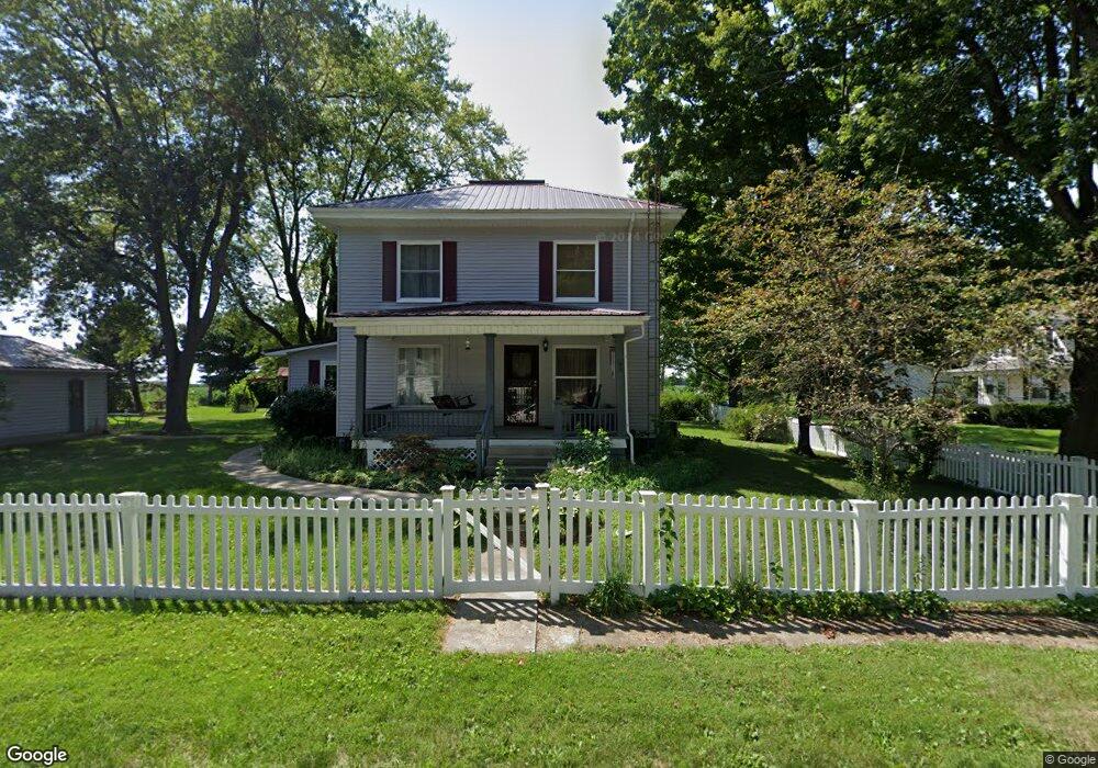
301 S Logan St Lovington, IL 61937
Estimated Value: $125,000 - $172,000
4
Beds
1
Bath
1,792
Sq Ft
$82/Sq Ft
Est. Value
About This Home
This home is located at 301 S Logan St, Lovington, IL 61937 and is currently estimated at $147,258, approximately $82 per square foot. 301 S Logan St is a home located in Moultrie County with nearby schools including Lovington Grade School and Arthur Lovington Atwood Hammond High School.
Ownership History
Date
Name
Owned For
Owner Type
Purchase Details
Closed on
May 9, 2008
Sold by
Gibbons Errin E and Gibbons Jennfier M
Bought by
Cutright Crystal D
Current Estimated Value
Home Financials for this Owner
Home Financials are based on the most recent Mortgage that was taken out on this home.
Original Mortgage
$104,040
Outstanding Balance
$65,854
Interest Rate
5.87%
Mortgage Type
New Conventional
Estimated Equity
$81,404
Create a Home Valuation Report for This Property
The Home Valuation Report is an in-depth analysis detailing your home's value as well as a comparison with similar homes in the area
Home Values in the Area
Average Home Value in this Area
Purchase History
| Date | Buyer | Sale Price | Title Company |
|---|---|---|---|
| Cutright Crystal D | $102,000 | None Available |
Source: Public Records
Mortgage History
| Date | Status | Borrower | Loan Amount |
|---|---|---|---|
| Open | Cutright Crystal D | $104,040 |
Source: Public Records
Tax History Compared to Growth
Tax History
| Year | Tax Paid | Tax Assessment Tax Assessment Total Assessment is a certain percentage of the fair market value that is determined by local assessors to be the total taxable value of land and additions on the property. | Land | Improvement |
|---|---|---|---|---|
| 2024 | $1,783 | $37,783 | $3,661 | $34,122 |
| 2023 | $2,207 | $35,473 | $3,437 | $32,036 |
| 2022 | $2,227 | $36,435 | $4,322 | $32,113 |
| 2021 | $2,276 | $34,640 | $4,109 | $30,531 |
| 2020 | $2,230 | $33,263 | $3,946 | $29,317 |
| 2019 | $2,175 | $32,678 | $3,877 | $28,801 |
| 2018 | $1,878 | $29,220 | $1,983 | $27,237 |
| 2017 | $1,877 | $29,106 | $1,975 | $27,131 |
| 2016 | $1,920 | $29,170 | $1,979 | $27,191 |
| 2015 | $1,888 | $28,600 | $1,940 | $26,660 |
| 2014 | -- | $34,550 | $1,960 | $32,590 |
| 2013 | -- | $34,550 | $1,960 | $32,590 |
Source: Public Records
Map
Nearby Homes
- 426 W Springfield Rd
- 226 S Noah St
- 14 E Okaw Estates
- 670 County Rd 1875 N
- 453 Cr 1750n
- 507 S C St
- 746 Cr 1500n
- 114 E North St
- 11 Iola Ct
- 207 N Washington St
- 312 W North Water St
- 204 N East B St
- 235 E 150 Rd N
- 320 S Saint John St
- 215 W Mitchell St
- 1 Elm Dr
- 601 W South St
- 9 Elm Dr
- 716 W Robinson St
- 11 Elm Dr
- 508 W Church St
- 514 W Church St
- 502 W Church St
- 435 W Church St
- 526 W Church St
- 427 W Church St
- 428 W South St
- 432 W Church St
- 509 W Emery St
- 521 W Emery St
- 501 W Emery St
- 421 W Church St
- 416 W South St
- 396 Cr 2100n
- 420 W Church St
- 437 W Emery St
- 539 W Emery St
- 410 W South St
- 409 W Church St
- 418 W Church St