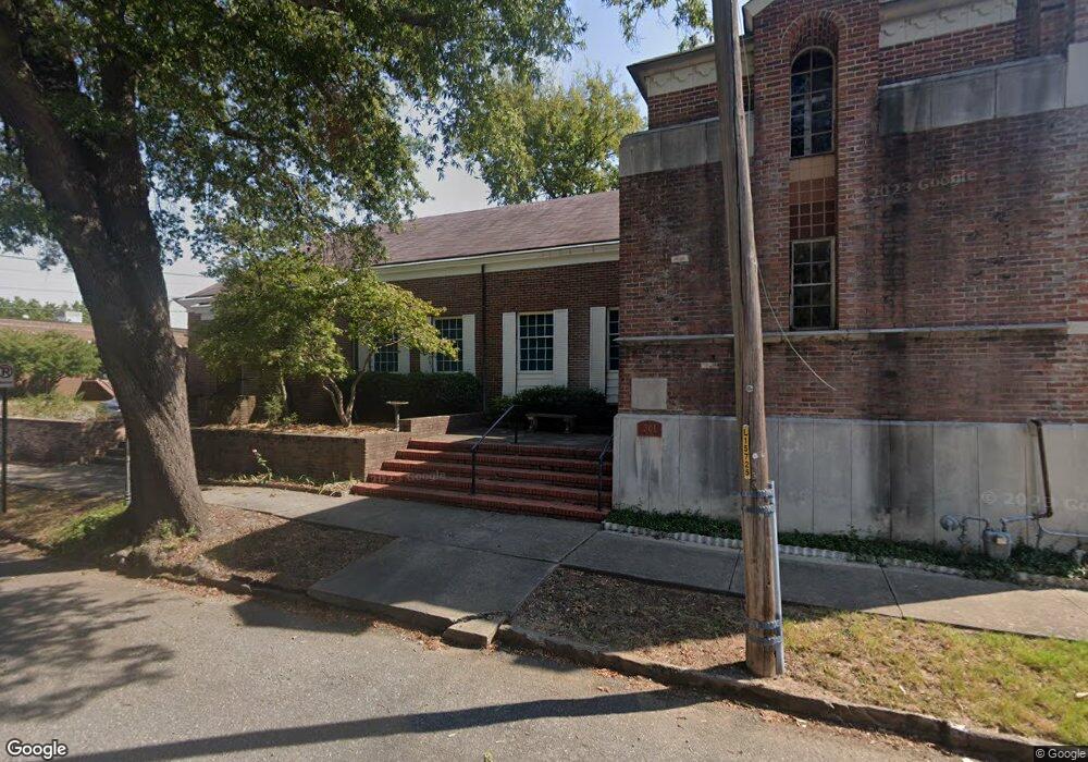
301 S Pulaski St Little Rock, AR 72201
Downtown Little Rock NeighborhoodEstimated Value: $347,000 - $421,000
--
Bed
2
Baths
3,575
Sq Ft
$109/Sq Ft
Est. Value
About This Home
This home is located at 301 S Pulaski St, Little Rock, AR 72201 and is currently estimated at $390,396, approximately $109 per square foot. 301 S Pulaski St is a home located in Pulaski County with nearby schools including M.L. King Elementary School, Pulaski Heights Middle School, and Central High School.
Ownership History
Date
Name
Owned For
Owner Type
Purchase Details
Closed on
Aug 10, 2006
Sold by
Perkins Peggy
Bought by
Perkins Hugh
Current Estimated Value
Purchase Details
Closed on
Dec 10, 2003
Sold by
Trustees Of The Quapaw Quarter United Me
Bought by
Perkins Hugh
Home Financials for this Owner
Home Financials are based on the most recent Mortgage that was taken out on this home.
Original Mortgage
$225,000
Interest Rate
5.97%
Mortgage Type
Purchase Money Mortgage
Create a Home Valuation Report for This Property
The Home Valuation Report is an in-depth analysis detailing your home's value as well as a comparison with similar homes in the area
Home Values in the Area
Average Home Value in this Area
Purchase History
| Date | Buyer | Sale Price | Title Company |
|---|---|---|---|
| Perkins Hugh | -- | None Available | |
| Perkins Hugh | $285,000 | American Abstract & Title Co |
Source: Public Records
Mortgage History
| Date | Status | Borrower | Loan Amount |
|---|---|---|---|
| Previous Owner | Perkins Hugh | $225,000 |
Source: Public Records
Tax History Compared to Growth
Tax History
| Year | Tax Paid | Tax Assessment Tax Assessment Total Assessment is a certain percentage of the fair market value that is determined by local assessors to be the total taxable value of land and additions on the property. | Land | Improvement |
|---|---|---|---|---|
| 2025 | $3,401 | $72,072 | $6,000 | $66,072 |
| 2024 | $3,401 | $72,072 | $6,000 | $66,072 |
| 2023 | $3,401 | $72,072 | $6,000 | $66,072 |
| 2022 | $3,401 | $72,072 | $6,000 | $66,072 |
| 2021 | $3,426 | $54,170 | $5,700 | $48,470 |
| 2020 | $3,026 | $54,170 | $5,700 | $48,470 |
| 2019 | $3,026 | $54,170 | $5,700 | $48,470 |
| 2018 | $3,051 | $54,170 | $5,700 | $48,470 |
| 2017 | $2,897 | $54,170 | $5,700 | $48,470 |
| 2016 | $2,742 | $44,170 | $1,800 | $42,370 |
| 2015 | $3,096 | $44,170 | $1,800 | $42,370 |
| 2014 | $3,096 | $44,170 | $1,800 | $42,370 |
Source: Public Records
Map
Nearby Homes
- 823 North St
- 820 North St
- 816 North St
- 800 North St
- 720 S Arch St
- 1114 W 12th St
- 2020 W 3rd St
- 5 Statehouse Plaza Unit 7B
- 123 N Schiller St
- 127 N Schiller St
- O Washington W Riverfront Dr
- 2012 Riverview Dr
- Lot 219/3 S State St Unit 34L0201116800
- 312 Barton St
- 1300 Rockwater Ln
- 1416 S Izard St
- 400 Gardens Ln
- 1015 W 15th St
- 408 Gardens Ln
- 1518 S Cross St