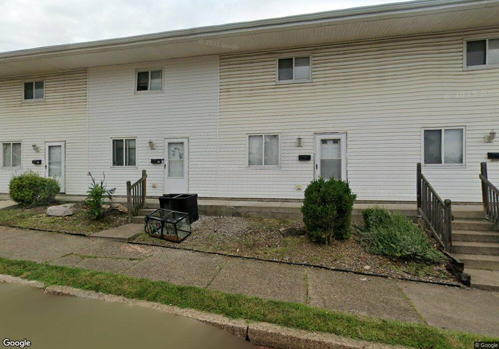
301 Spruce St Vandergrift, PA 15690
Estimated Value: $56,533 - $185,000
--
Bed
--
Bath
3,360
Sq Ft
$36/Sq Ft
Est. Value
About This Home
This home is located at 301 Spruce St, Vandergrift, PA 15690 and is currently estimated at $119,883, approximately $35 per square foot. 301 Spruce St is a home located in Westmoreland County with nearby schools including Kiski Area High School.
Ownership History
Date
Name
Owned For
Owner Type
Purchase Details
Closed on
Dec 19, 2007
Sold by
Mccutcheon David A
Bought by
Johngarlo Gary and Solomon Susan M
Current Estimated Value
Home Financials for this Owner
Home Financials are based on the most recent Mortgage that was taken out on this home.
Original Mortgage
$90,000
Outstanding Balance
$56,878
Interest Rate
6.27%
Mortgage Type
Purchase Money Mortgage
Estimated Equity
$63,005
Purchase Details
Closed on
Dec 6, 2001
Sold by
Mccutcheon David A and Mccutcheon Sheryl A
Bought by
Mccutcheon David A
Create a Home Valuation Report for This Property
The Home Valuation Report is an in-depth analysis detailing your home's value as well as a comparison with similar homes in the area
Home Values in the Area
Average Home Value in this Area
Purchase History
| Date | Buyer | Sale Price | Title Company |
|---|---|---|---|
| Johngarlo Gary | $78,500 | None Available | |
| Mccutcheon David A | -- | -- |
Source: Public Records
Mortgage History
| Date | Status | Borrower | Loan Amount |
|---|---|---|---|
| Open | Johngarlo Gary | $90,000 |
Source: Public Records
Tax History Compared to Growth
Tax History
| Year | Tax Paid | Tax Assessment Tax Assessment Total Assessment is a certain percentage of the fair market value that is determined by local assessors to be the total taxable value of land and additions on the property. | Land | Improvement |
|---|---|---|---|---|
| 2025 | $2,663 | $16,320 | $1,410 | $14,910 |
| 2024 | $2,536 | $16,320 | $1,410 | $14,910 |
| 2023 | $2,335 | $16,320 | $1,410 | $14,910 |
| 2022 | $2,286 | $16,320 | $1,410 | $14,910 |
| 2021 | $2,286 | $16,320 | $1,410 | $14,910 |
| 2020 | $2,281 | $16,320 | $1,410 | $14,910 |
| 2019 | $2,273 | $16,320 | $1,410 | $14,910 |
| 2018 | $2,240 | $16,320 | $1,410 | $14,910 |
| 2017 | $2,191 | $16,320 | $1,410 | $14,910 |
| 2016 | $2,161 | $16,320 | $1,410 | $14,910 |
| 2015 | $2,161 | $16,320 | $1,410 | $14,910 |
| 2014 | $2,151 | $16,320 | $1,410 | $14,910 |
Source: Public Records
Map
Nearby Homes
- 314 Linden St
- 315 Spruce St
- 311 Elm St
- 404 Jackson Ave
- 323 Sycamore St
- 517 Sycamore St
- 410 Longfellow St
- 404 1/2 Franklin Ave
- 431 Longfellow St
- 439 Longfellow St
- 533A Walnut St
- 528 Longfellow St
- 800 Wallace St
- 512 Watson St
- 116 Custer Ave
- 704-706 Holland St
- 314 1/2 Lowell St
- 311 Lowell St
- 403 Lowell St
- 716 Kennedy Ave