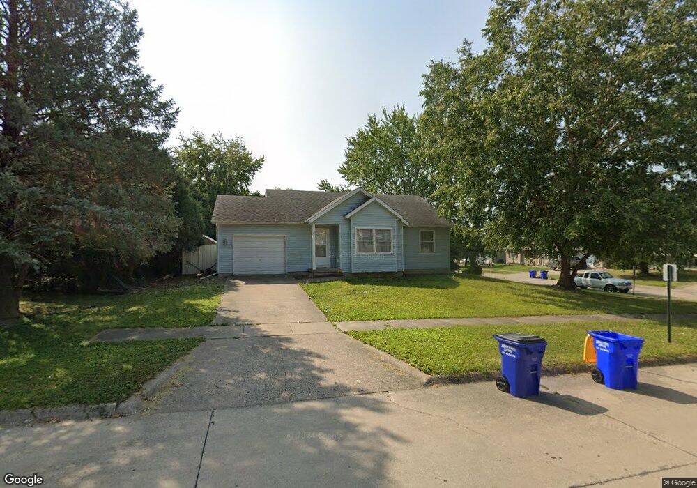
301 W Dougherty Dr Lone Tree, IA 52755
Estimated Value: $188,000 - $202,000
3
Beds
1
Bath
991
Sq Ft
$197/Sq Ft
Est. Value
About This Home
This home is located at 301 W Dougherty Dr, Lone Tree, IA 52755 and is currently estimated at $195,028, approximately $196 per square foot. 301 W Dougherty Dr is a home located in Johnson County with nearby schools including Lone Tree Elementary School and Lone Tree Junior/Senior High School.
Ownership History
Date
Name
Owned For
Owner Type
Purchase Details
Closed on
Apr 24, 2009
Sold by
Ganzer Holland Patricia A
Bought by
Thomas Allison J and Means Aaron W
Current Estimated Value
Home Financials for this Owner
Home Financials are based on the most recent Mortgage that was taken out on this home.
Original Mortgage
$104,720
Outstanding Balance
$66,590
Interest Rate
5.05%
Mortgage Type
Purchase Money Mortgage
Estimated Equity
$128,438
Create a Home Valuation Report for This Property
The Home Valuation Report is an in-depth analysis detailing your home's value as well as a comparison with similar homes in the area
Home Values in the Area
Average Home Value in this Area
Purchase History
| Date | Buyer | Sale Price | Title Company |
|---|---|---|---|
| Thomas Allison J | $131,000 | None Available |
Source: Public Records
Mortgage History
| Date | Status | Borrower | Loan Amount |
|---|---|---|---|
| Open | Thomas Allison J | $104,720 |
Source: Public Records
Tax History Compared to Growth
Tax History
| Year | Tax Paid | Tax Assessment Tax Assessment Total Assessment is a certain percentage of the fair market value that is determined by local assessors to be the total taxable value of land and additions on the property. | Land | Improvement |
|---|---|---|---|---|
| 2025 | $2,248 | $178,100 | $30,400 | $147,700 |
| 2024 | $2,182 | $172,900 | $30,400 | $142,500 |
| 2023 | $2,248 | $172,900 | $30,400 | $142,500 |
| 2022 | $2,222 | $151,500 | $24,000 | $127,500 |
| 2021 | $2,220 | $151,500 | $24,000 | $127,500 |
| 2020 | $2,220 | $144,800 | $24,000 | $120,800 |
| 2019 | $2,152 | $144,800 | $24,000 | $120,800 |
| 2018 | $2,112 | $138,100 | $24,000 | $114,100 |
| 2017 | $2,112 | $138,100 | $24,000 | $114,100 |
| 2016 | $2,034 | $130,900 | $24,000 | $106,900 |
| 2015 | $2,034 | $130,900 | $24,000 | $106,900 |
| 2014 | $1,798 | $129,200 | $24,000 | $105,200 |
Source: Public Records
Map
Nearby Homes
- 106 Dorothy Ln
- 500 S Center St
- 221 W Commercial St
- 201 N Devoe St
- 407 E Elm St
- 745 N Perkins St
- 25840 Golden Oak Ln Lot 1
- 25838 Golden Oak Ln Lot 7
- 25836 Golden Oak Ln Lot 8
- 25832 Golden Oak Ln Lot 12
- 25736 Golden Pond Ln Se Lot 17
- 25824 Golden Oak Ln Lot 9
- 25738 Golden Pond Ln Se Lot 16
- 5888 Sand Rd SE
- 1092 Walnut Ave Unit 209
- 1092 Walnut Ave Unit 114 Bld D
- Lot 2 116th Cir
- Lot 39 Walter Mapp Dr
- 2 Commercial Dr
- 1436 Vine Ave
- 308 W Dougherty Dr
- 211 W Dougherty Dr
- 302 W Dougherty Dr
- 307 W Dougherty Dr
- 300 W Dougherty Dr
- 310 W Dougherty Dr
- 309 W Dougherty Dr
- 309 Doughtery Dr
- 209 W Dougherty Dr
- 305 W Dougherty Dr
- 304 W Dougherty Dr
- 311 W Dougherty Dr
- 212 W Mapel Dr
- 207 W Dougherty Dr
- 210 W Mapel Dr
- 208 W Dougherty Dr
- 214 Mapel Dr
- 313 W Dougherty Dr
- 303 W Pioneer Rd
- 213 W Pioneer Rd