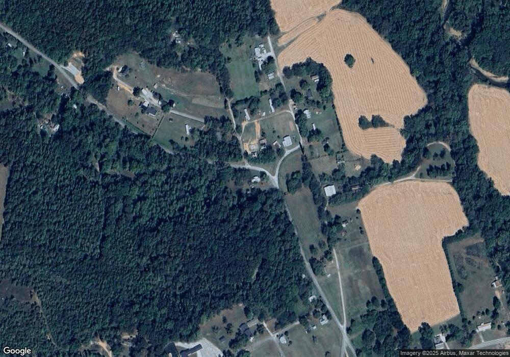
301 W Maple St Westpoint, TN 38486
Estimated Value: $87,931 - $200,000
--
Bed
1
Bath
1,078
Sq Ft
$127/Sq Ft
Est. Value
About This Home
This home is located at 301 W Maple St, Westpoint, TN 38486 and is currently estimated at $136,733, approximately $126 per square foot. 301 W Maple St is a home located in Lawrence County with nearby schools including South Lawrence Elementary School, David Crockett Elementary School, and Ingram Sowell Elementary School.
Ownership History
Date
Name
Owned For
Owner Type
Purchase Details
Closed on
Mar 10, 2021
Sold by
Moore Calvin and Moore Mildred
Bought by
Howell Brenda Moore Davis
Current Estimated Value
Purchase Details
Closed on
Aug 7, 1986
Purchase Details
Closed on
Sep 1, 1980
Bought by
Moore Moore C and Moore Mildred
Purchase Details
Closed on
Jan 1, 1980
Create a Home Valuation Report for This Property
The Home Valuation Report is an in-depth analysis detailing your home's value as well as a comparison with similar homes in the area
Home Values in the Area
Average Home Value in this Area
Purchase History
| Date | Buyer | Sale Price | Title Company |
|---|---|---|---|
| Howell Brenda Moore Davis | -- | None Available | |
| -- | $9,500 | -- | |
| Moore Moore C | -- | -- | |
| -- | $7,500 | -- |
Source: Public Records
Tax History Compared to Growth
Tax History
| Year | Tax Paid | Tax Assessment Tax Assessment Total Assessment is a certain percentage of the fair market value that is determined by local assessors to be the total taxable value of land and additions on the property. | Land | Improvement |
|---|---|---|---|---|
| 2024 | $250 | $12,425 | $8,625 | $3,800 |
| 2023 | $250 | $12,425 | $8,625 | $3,800 |
| 2022 | $319 | $15,875 | $8,625 | $7,250 |
| 2021 | $246 | $8,325 | $4,200 | $4,125 |
| 2020 | $246 | $8,325 | $4,200 | $4,125 |
| 2019 | $246 | $8,325 | $4,200 | $4,125 |
| 2018 | $246 | $8,325 | $4,200 | $4,125 |
| 2017 | $246 | $8,325 | $4,200 | $4,125 |
| 2016 | $246 | $8,325 | $4,200 | $4,125 |
| 2015 | $228 | $8,325 | $4,200 | $4,125 |
| 2014 | $210 | $7,650 | $4,200 | $3,450 |
Source: Public Records
Map
Nearby Homes
- 109 W Cherry St
- 2016 Tennessee St
- 2034 Tennessee St
- 130 Water Tower Rd
- 139 Water Tower Rd
- 2 Hardin Loop
- 322 Creekside Ln
- 366 Ridge Rd
- 389 Busby Rd
- 437 S Ore Rd
- 381 Busby Rd
- 3795 Wayland Springs Rd
- 516 Barney Ln
- 2732 Railroad Bed Rd
- 0 Rigling Rd Unit RTC2452805
- 0 Wayland Springs Rd
- 0 Hughes Hollow Rd
- 75 Hughes Hollow Rd
- 12 Grace Ln
- 887 Waterloo Rd
- 107 First Trestle St
- 110 First Trestle St
- 116 First Trestle St
- 207 Church Hill Rd
- 118 First Trestle St
- 211 Church Hill Rd
- 218 Church Hill Rd
- 203 W Cherry St
- 302 Georgia St
- 306 Georgia St
- 2005 Tennessee St
- 198 First Trestle St
- 2013 Tennessee St
- 1068 Gallahar Rd
- 2015 Tennessee St
- 2009 Tennessee St
- 2003 Tennessee St
- 117 College St
- 208 Georgia St
- 194 Creek Ln
