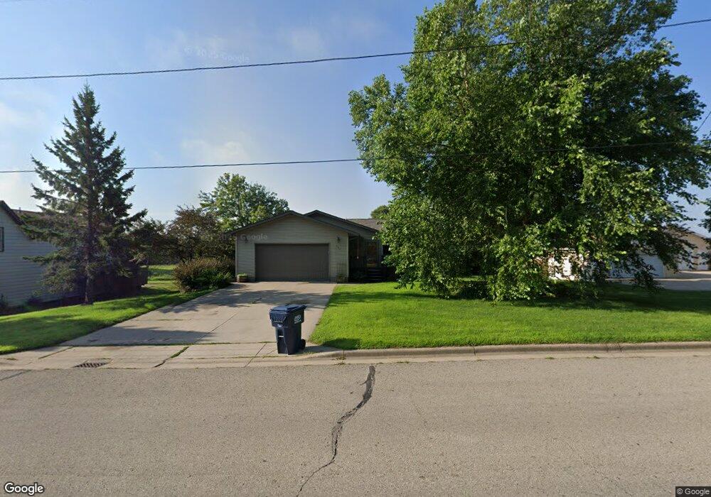
301 West Ave W Dundas, MN 55019
Estimated Value: $407,999 - $492,000
5
Beds
2
Baths
2,706
Sq Ft
$170/Sq Ft
Est. Value
About This Home
This home is located at 301 West Ave W, Dundas, MN 55019 and is currently estimated at $459,250, approximately $169 per square foot. 301 West Ave W is a home located in Rice County with nearby schools including Bridgewater Elementary School, Northfield Middle School, and Northfield Senior High School.
Ownership History
Date
Name
Owned For
Owner Type
Purchase Details
Closed on
Feb 7, 2022
Sold by
Marks Chad S and Marks Michelle L
Bought by
Pedersen Matthew and Pedersen Rosa
Current Estimated Value
Home Financials for this Owner
Home Financials are based on the most recent Mortgage that was taken out on this home.
Original Mortgage
$281,200
Outstanding Balance
$261,116
Interest Rate
3.55%
Mortgage Type
New Conventional
Estimated Equity
$198,134
Create a Home Valuation Report for This Property
The Home Valuation Report is an in-depth analysis detailing your home's value as well as a comparison with similar homes in the area
Home Values in the Area
Average Home Value in this Area
Purchase History
| Date | Buyer | Sale Price | Title Company |
|---|---|---|---|
| Pedersen Matthew | $351,500 | Burnet Title |
Source: Public Records
Mortgage History
| Date | Status | Borrower | Loan Amount |
|---|---|---|---|
| Open | Pedersen Matthew | $281,200 |
Source: Public Records
Tax History Compared to Growth
Tax History
| Year | Tax Paid | Tax Assessment Tax Assessment Total Assessment is a certain percentage of the fair market value that is determined by local assessors to be the total taxable value of land and additions on the property. | Land | Improvement |
|---|---|---|---|---|
| 2025 | $5,294 | $362,400 | $84,800 | $277,600 |
| 2024 | $5,294 | $347,000 | $73,700 | $273,300 |
| 2023 | $4,984 | $347,000 | $73,700 | $273,300 |
| 2022 | $5,936 | $337,400 | $73,700 | $263,700 |
| 2021 | $4,496 | $320,500 | $67,000 | $253,500 |
| 2020 | $3,904 | $279,100 | $55,900 | $223,200 |
| 2019 | $4,684 | $245,900 | $49,700 | $196,200 |
| 2018 | $4,108 | $220,400 | $49,700 | $170,700 |
| 2017 | $2,784 | $210,800 | $49,700 | $161,100 |
| 2016 | $4,578 | $177,600 | $43,500 | $134,100 |
| 2015 | $4,024 | $179,700 | $53,000 | $126,700 |
| 2014 | -- | $180,900 | $53,000 | $127,900 |
Source: Public Records
Map
Nearby Homes
- 210 Mill St W
- 2068 Millersburg Blvd W
- 514 Miller Ln
- xxx Weaver Rd
- 900 Cannon Rd
- 2714 Brockman Ct Unit 712
- Outlot Honeylocust Dr
- 2804 Oak Lawn Dr
- 2620 Oak Lawn Dr
- 5755 115th St E
- 1355 Bridgewater Pkwy
- 1418 Bluff St
- 2704 Oak Lawn Dr
- 2708 Oak Lawn Dr
- 513 Cannon Way
- 546 Cannon Way
- 511 French Ln
- 115 115th St E
- 2004 Lincoln St S
- 2206 Grant Ct
- 215 West Ave W
- 305 West Ave W
- 212 West Ave W
- 300 West Ave W
- 125 West Ave W
- 204 West Ave W
- 312 West Ave W
- 117 West Ave W
- 118 Forest Ave S
- 308 West Ave W
- 316 West Ave W
- 223 Hagerty St W
- 223 Hagerty St
- 320 West Ave W
- 110 Morris St
- 112 West Ave W
- 116 Forest Ave S
- 219 Hagerty St W
- 412 Kolb Ln
- 221 Morris St