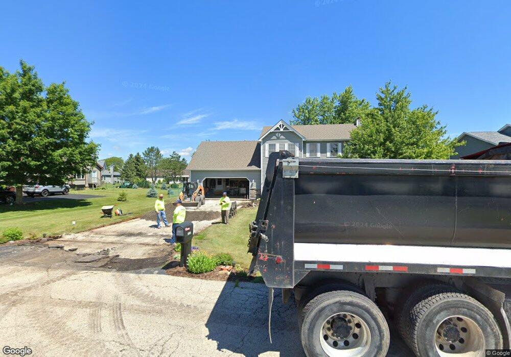
3010 5th St Winthrop Harbor, IL 60096
Estimated Value: $389,000 - $397,000
3
Beds
3
Baths
2,124
Sq Ft
$185/Sq Ft
Est. Value
About This Home
This home is located at 3010 5th St, Winthrop Harbor, IL 60096 and is currently estimated at $392,688, approximately $184 per square foot. 3010 5th St is a home located in Lake County with nearby schools including Westfield School, North Prairie Junior High School, and Zion-Benton Township High School.
Ownership History
Date
Name
Owned For
Owner Type
Purchase Details
Closed on
Aug 16, 1995
Sold by
Bank Of Waukegan
Bought by
Lippeth Joseph J and Lippeth Julie L
Current Estimated Value
Home Financials for this Owner
Home Financials are based on the most recent Mortgage that was taken out on this home.
Original Mortgage
$144,000
Interest Rate
8.37%
Create a Home Valuation Report for This Property
The Home Valuation Report is an in-depth analysis detailing your home's value as well as a comparison with similar homes in the area
Home Values in the Area
Average Home Value in this Area
Purchase History
| Date | Buyer | Sale Price | Title Company |
|---|---|---|---|
| Lippeth Joseph J | $167,000 | -- |
Source: Public Records
Mortgage History
| Date | Status | Borrower | Loan Amount |
|---|---|---|---|
| Closed | Lippeth Joseph J | $144,000 |
Source: Public Records
Tax History Compared to Growth
Tax History
| Year | Tax Paid | Tax Assessment Tax Assessment Total Assessment is a certain percentage of the fair market value that is determined by local assessors to be the total taxable value of land and additions on the property. | Land | Improvement |
|---|---|---|---|---|
| 2024 | $9,303 | $101,967 | $9,576 | $92,391 |
| 2023 | $8,776 | $94,793 | $9,244 | $85,549 |
| 2022 | $8,776 | $86,187 | $9,028 | $77,159 |
| 2021 | $8,986 | $83,994 | $8,798 | $75,196 |
| 2020 | $8,718 | $80,155 | $8,396 | $71,759 |
| 2019 | $8,509 | $76,049 | $7,966 | $68,083 |
| 2018 | $8,675 | $77,055 | $9,651 | $67,404 |
| 2017 | $8,613 | $72,488 | $9,079 | $63,409 |
| 2016 | $8,393 | $69,010 | $8,643 | $60,367 |
| 2015 | $8,253 | $63,288 | $7,926 | $55,362 |
| 2014 | $7,604 | $60,919 | $16,534 | $44,385 |
| 2012 | $7,479 | $63,306 | $17,182 | $46,124 |
Source: Public Records
Map
Nearby Homes
- 0 Garnett Ave
- 242 Thompson Ave
- 140 Old Darby Ln
- 429 Megan Place
- 436 Megan Place
- 432 Megan Place
- 830 Russell Ave
- 630 Whitney Ave
- 1810 5th St
- 11279 W Russell Rd
- 919 Charles Ave
- 3109 11th St
- 43100 N Lewis Ave
- 832 Fulton Ave
- 737 Franklin Ave
- 42908 N Lewis Ave
- 1228 Pennsylvania Ave
- 3106 13th St
- 12122 28th Ave
- 12111 28th Ave
- 3000 5th St
- 3020 5th St
- 413 Chatham Cove
- 413 Chatham Ct
- 415 Chatham Cove
- 419 Old Darby Ln
- 421 Old Darby Ln
- 417 Chatham Cove
- 411 Chatham Cove
- 438 Roberts Rd
- 436 Roberts Rd
- 409 Chatham Cove
- 516 Roberts Rd
- 410 Old Darby Ln
- 407 Chatham Cove
- 405 Chatham Cove
- 511 Roberts Rd
- 409 Roberts Rd
- 404 Old Darby Ln
- 403 Old Darby Ln