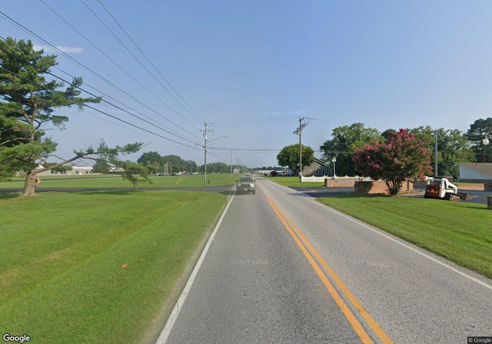
30102 Mitchell St Millsboro, DE 19966
Estimated Value: $117,289 - $281,000
3
Beds
--
Bath
1,431
Sq Ft
$139/Sq Ft
Est. Value
About This Home
This home is located at 30102 Mitchell St, Millsboro, DE 19966 and is currently estimated at $198,822, approximately $138 per square foot. 30102 Mitchell St is a home located in Sussex County with nearby schools including East Millsboro Elementary School, Millsboro Middle School, and Sussex Central High School.
Ownership History
Date
Name
Owned For
Owner Type
Purchase Details
Closed on
Oct 30, 2024
Sold by
Lee Robert T
Bought by
Nikalayenka Aliaksei
Current Estimated Value
Purchase Details
Closed on
Apr 28, 2021
Sold by
Richburg Darlene and Beckett Alexander
Bought by
Story Brian C
Home Financials for this Owner
Home Financials are based on the most recent Mortgage that was taken out on this home.
Original Mortgage
$162,011
Interest Rate
3.1%
Mortgage Type
FHA
Create a Home Valuation Report for This Property
The Home Valuation Report is an in-depth analysis detailing your home's value as well as a comparison with similar homes in the area
Home Values in the Area
Average Home Value in this Area
Purchase History
| Date | Buyer | Sale Price | Title Company |
|---|---|---|---|
| Nikalayenka Aliaksei | $170,000 | None Listed On Document | |
| Nikalayenka Aliaksei | $170,000 | None Listed On Document | |
| Story Brian C | $165,000 | None Available |
Source: Public Records
Mortgage History
| Date | Status | Borrower | Loan Amount |
|---|---|---|---|
| Previous Owner | Story Brian C | $162,011 |
Source: Public Records
Tax History Compared to Growth
Tax History
| Year | Tax Paid | Tax Assessment Tax Assessment Total Assessment is a certain percentage of the fair market value that is determined by local assessors to be the total taxable value of land and additions on the property. | Land | Improvement |
|---|---|---|---|---|
| 2025 | $485 | $9,700 | $1,500 | $8,200 |
| 2024 | $1,138 | $9,700 | $1,500 | $8,200 |
| 2023 | $1,188 | $9,700 | $1,500 | $8,200 |
| 2022 | $406 | $9,700 | $1,500 | $8,200 |
| 2021 | $394 | $9,700 | $1,500 | $8,200 |
| 2020 | $229 | $9,700 | $1,500 | $8,200 |
| 2019 | $363 | $9,700 | $1,500 | $8,200 |
| 2018 | $224 | $9,700 | $0 | $0 |
| 2017 | $370 | $9,700 | $0 | $0 |
| 2016 | $207 | $9,700 | $0 | $0 |
| 2015 | $211 | $9,700 | $0 | $0 |
| 2014 | $206 | $9,700 | $0 | $0 |
Source: Public Records
Map
Nearby Homes
- 108 Bobbys Branch Rd Unit 88
- 107 Bobbys Branch Rd Unit 4
- 4305 Caitlins Way Unit 4305
- 5106 Caitlins Way
- 146 Bobbys Branch Rd Unit 71
- 153 Bobbys Branch Rd
- 152 Bobbys Branch Rd Unit 68
- 157 Bobbys Branch Rd Unit 25
- 107 Nicoles Ct Unit 175
- 163 Bobbys Branch Rd
- 117 Lauras Ct Unit 23
- 181 Bobby's Branch Rd Unit 35
- 108 Lauras Ct
- 115 Alexandreas Ct Unit 8
- 353 Windflower Dr
- 196 Bobbys Branch Rd
- 30836 Dupont Blvd
- 28592 Dupont Blvd
- 28059 Possum Point Rd
- Lot 10 Possum Point Rd
- 00 Dagsboro Rd
- 0 Handy Rd Unit 1000998006
- 0 Handy Rd Unit 1001153038
- 0 Handy Rd Unit 1001165166
- 5 Handy Rd
- 8 Handy Rd
- 6 Handy Rd
- 7 Handy Rd
- 0 Handy Rd
- 30505 Dupont Blvd
- 30203 Mitchell St
- 26648 Handy Rd
- 30809 Chestnut Dr
- 26632 Handy Rd
- 30240 Dupont Blvd
- 26609 Handy Rd
- 26614 Handy Rd
- 30835 Chestnut Dr
- 28857 Dupont Blvd
- 0 Bobbys Branch Rd Unit 89 1001123414
