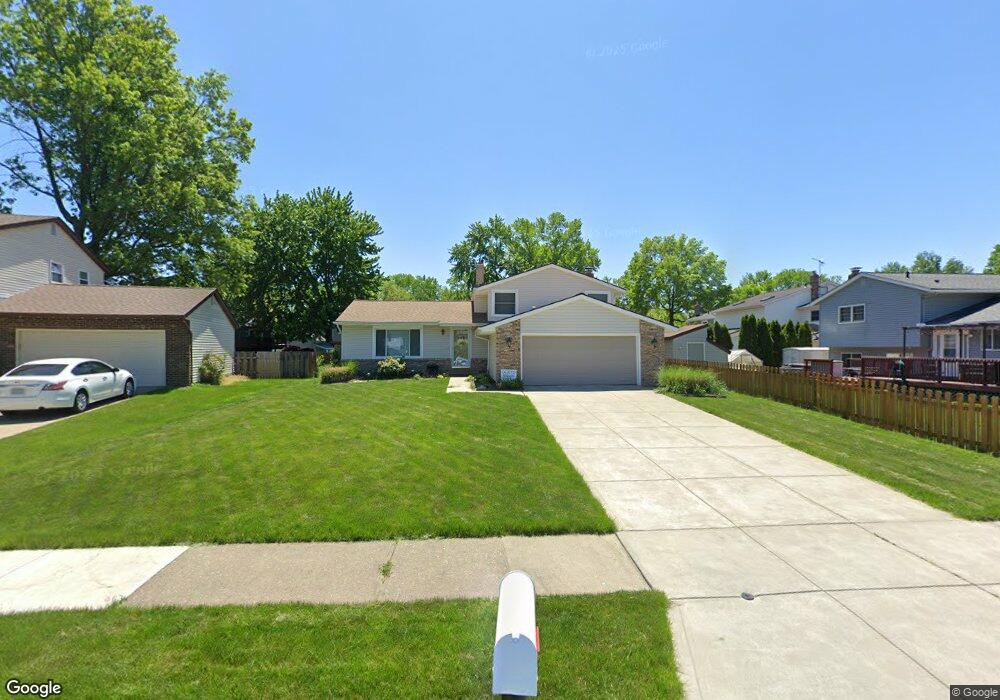
3013 Wells Fleet Cir Willoughby, OH 44094
Estimated Value: $307,000 - $332,404
4
Beds
2
Baths
1,254
Sq Ft
$255/Sq Ft
Est. Value
About This Home
This home is located at 3013 Wells Fleet Cir, Willoughby, OH 44094 and is currently estimated at $320,351, approximately $255 per square foot. 3013 Wells Fleet Cir is a home located in Lake County with nearby schools including Grant Elementary School, Willoughby Middle School, and South High School.
Ownership History
Date
Name
Owned For
Owner Type
Purchase Details
Closed on
Jul 12, 1994
Sold by
Hainrigar Edward
Bought by
Wyosky Stanley L and Wyosky Kathleen A
Current Estimated Value
Home Financials for this Owner
Home Financials are based on the most recent Mortgage that was taken out on this home.
Original Mortgage
$134,900
Interest Rate
8.61%
Mortgage Type
New Conventional
Create a Home Valuation Report for This Property
The Home Valuation Report is an in-depth analysis detailing your home's value as well as a comparison with similar homes in the area
Home Values in the Area
Average Home Value in this Area
Purchase History
| Date | Buyer | Sale Price | Title Company |
|---|---|---|---|
| Wyosky Stanley L | $149,900 | -- |
Source: Public Records
Mortgage History
| Date | Status | Borrower | Loan Amount |
|---|---|---|---|
| Closed | Wyosky Stanley L | $134,900 |
Source: Public Records
Tax History Compared to Growth
Tax History
| Year | Tax Paid | Tax Assessment Tax Assessment Total Assessment is a certain percentage of the fair market value that is determined by local assessors to be the total taxable value of land and additions on the property. | Land | Improvement |
|---|---|---|---|---|
| 2024 | -- | $108,670 | $26,620 | $82,050 |
| 2023 | $7,856 | $82,970 | $21,260 | $61,710 |
| 2022 | $5,090 | $82,970 | $21,260 | $61,710 |
| 2021 | $5,113 | $82,970 | $21,260 | $61,710 |
| 2020 | $4,986 | $72,150 | $18,480 | $53,670 |
| 2019 | $4,626 | $72,150 | $18,480 | $53,670 |
| 2018 | $4,214 | $57,690 | $14,780 | $42,910 |
| 2017 | $3,881 | $57,690 | $14,780 | $42,910 |
| 2016 | $3,867 | $57,690 | $14,780 | $42,910 |
| 2015 | $3,756 | $57,690 | $14,780 | $42,910 |
| 2014 | $3,380 | $54,690 | $14,780 | $39,910 |
| 2013 | $3,383 | $54,690 | $14,780 | $39,910 |
Source: Public Records
Map
Nearby Homes
- 3000 Steve Guard Ct
- 38220 Westminster Ln
- 38610 Wood Rd
- 2687 Westminster Ln
- 2962 Flossy Ct
- 38396 Poplar Dr
- 38109 Poplar Dr
- 0 Lost Nation Rd
- 37584 Ocean Reef
- 38754 Adkins Rd
- 38125 Highgate Bluff Ln
- 3680 Foothill Blvd
- VL Foothill Blvd
- 564 Howell Ct
- 553 Vesely Ct
- 7747 Ellington Place
- 7710 Bar Harbour Ln
- 35931 Woodland Dr
- 36765 Garretts Cove Dr
- 503 E Overlook Dr
- 3011 Wells Fleet Cir
- 3029 Nantucket Dr
- 3037 Nantucket Dr
- 3019 Nantucket Dr
- 3024 Gale Rd
- 3034 Gale Rd
- 3016 Gale Rd
- 3009 Wells Fleet Cir
- 3044 Gale Rd
- 3008 Gale Rd
- 3053 Nantucket Dr
- 2999 Nantucket Dr
- 3007 Wells Fleet Cir
- 3059 Nantucket Dr
- 3005 Wells Fleet Cir
- 3032 Nantucket Dr
- 3001 Wells Fleet Cir
- 3003 Wells Fleet Cir
- 3040 Nantucket Dr
- 3024 Nantucket Dr