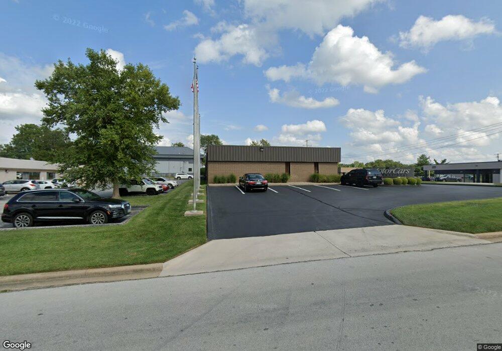
3015 E Cairo St Springfield, MO 65802
Bingham NeighborhoodEstimated Value: $622,669
Studio
--
Bath
6,500
Sq Ft
$96/Sq Ft
Est. Value
About This Home
This home is located at 3015 E Cairo St, Springfield, MO 65802 and is currently estimated at $622,669, approximately $95 per square foot. 3015 E Cairo St is a home located in Greene County with nearby schools including Bingham Elementary School, Hickory Hills K-8 School, and Glendale High School.
Ownership History
Date
Name
Owned For
Owner Type
Purchase Details
Closed on
Aug 18, 2023
Sold by
3015 E Cairo St Llc
Bought by
Cairo Springfield Llc
Current Estimated Value
Home Financials for this Owner
Home Financials are based on the most recent Mortgage that was taken out on this home.
Original Mortgage
$468,000
Interest Rate
6.96%
Mortgage Type
FHA
Purchase Details
Closed on
Dec 4, 2009
Sold by
Bass Richard L and Bass Glenda J
Bought by
3015 E Cairo St Llc
Create a Home Valuation Report for This Property
The Home Valuation Report is an in-depth analysis detailing your home's value as well as a comparison with similar homes in the area
Home Values in the Area
Average Home Value in this Area
Purchase History
| Date | Buyer | Sale Price | Title Company |
|---|---|---|---|
| Cairo Springfield Llc | -- | None Listed On Document | |
| 3015 E Cairo St Llc | -- | None Available |
Source: Public Records
Mortgage History
| Date | Status | Borrower | Loan Amount |
|---|---|---|---|
| Closed | Cairo Springfield Llc | $468,000 |
Source: Public Records
Tax History
| Year | Tax Paid | Tax Assessment Tax Assessment Total Assessment is a certain percentage of the fair market value that is determined by local assessors to be the total taxable value of land and additions on the property. | Land | Improvement |
|---|---|---|---|---|
| 2025 | $7,820 | $129,860 | $28,100 | $101,760 |
| 2024 | $7,320 | $114,280 | $20,420 | $93,860 |
| 2023 | $7,285 | $114,280 | $20,420 | $93,860 |
| 2022 | $7,430 | $114,280 | $20,420 | $93,860 |
| 2021 | $7,429 | $114,280 | $20,420 | $93,860 |
| 2020 | $7,719 | $114,340 | $20,420 | $93,920 |
| 2019 | $7,535 | $114,340 | $20,420 | $93,920 |
| 2018 | $8,333 | $126,500 | $20,420 | $106,080 |
| 2017 | $8,262 | $124,640 | $20,420 | $104,220 |
| 2016 | $8,127 | $124,640 | $20,420 | $104,220 |
| 2015 | $8,065 | $124,640 | $20,420 | $104,220 |
| 2014 | $8,064 | $123,880 | $20,420 | $103,460 |
Source: Public Records
Map
Nearby Homes
- 217 N Ken Ave
- 514 S Prince Ln
- 620 S Belcrest Ave
- 2838 E Cherry St
- 2700 E Horning St
- 502 N Oak Grove Ave
- 2626 E Elm St
- 746 N Oak Grove Ave
- 2918 E Monroe Terrace
- 2810 E Madison St
- 2845 E Lombard St
- 2926 E Lombard St
- 2965 E Belmont St
- 718 N Patterson Ave
- 3705 E Cypress St
- 3717 E Woodhue St
- 3722 E Woodhue St
- Lot 59 E Woodhue St
- Lot 38 E Woodhue St
- Lot 17 E Woodhue St
- 3015 E Cairo St
- 209 N Belcrest Ave
- 210 S Union Ave
- 3057 E Cairo St
- 2920 E Chestnut Expy
- 210 N Prince Ln
- 216 N Prince Ln
- 202 N Prince Ln
- 224 N Prince Ln
- 208 S Prince Ln
- 302 N Prince Ln
- 210 S Prince Ln
- 310 N Prince Ln
- 214 S Prince Ln
- 3045 E Chestnut Expy
- 3003 E Chestnut Expy
- 220 S Prince Ln
- 226 S Prince Ln
- 3120 E Cairo St
- 209 N Prince Ln
Your Personal Tour Guide
Ask me questions while you tour the home.