Estimated Value: $221,000 - $253,000
3
Beds
2
Baths
1,552
Sq Ft
$155/Sq Ft
Est. Value
About This Home
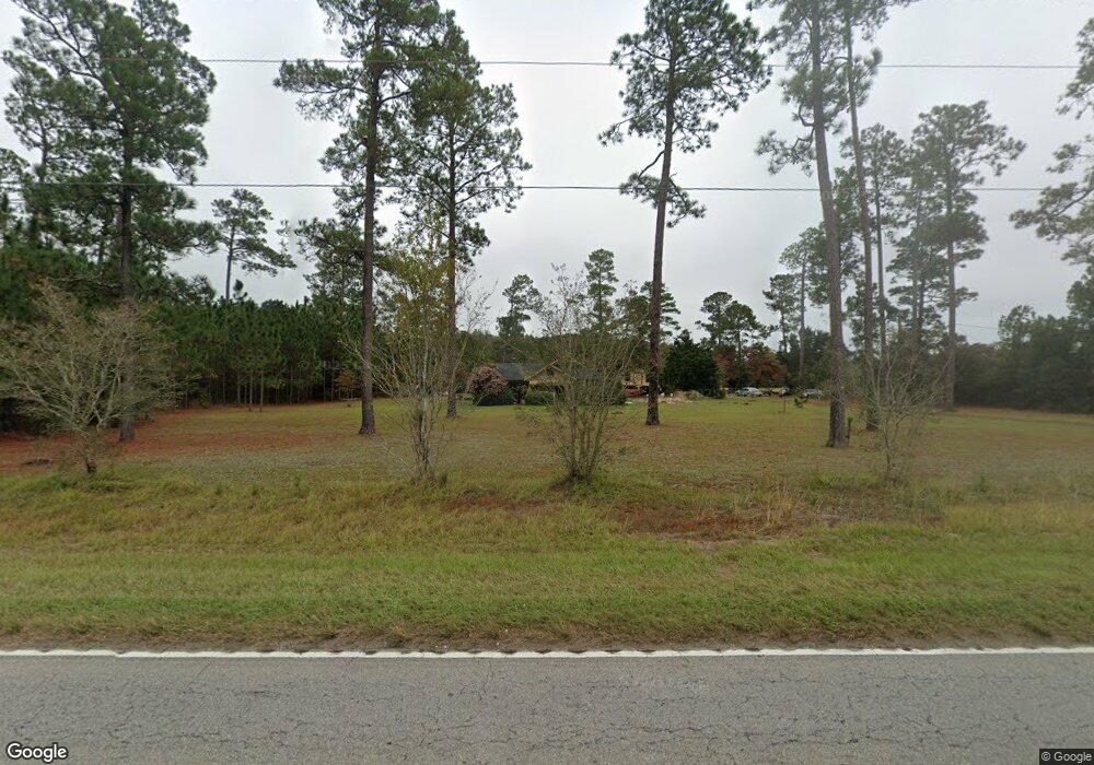
This home is located at 3015 Highway 701 S, Loris, SC 29569 and is currently estimated at $240,576, approximately $155 per square foot. 3015 Highway 701 S is a home located in Horry County with nearby schools including Loris Elementary School, Loris Middle School, and Loris High School.
Ownership History
Date
Name
Owned For
Owner Type
Purchase Details
Closed on
Nov 7, 2017
Sold by
Backfield Holdings Llc
Bought by
Parker Jonathon K
Current Estimated Value
Home Financials for this Owner
Home Financials are based on the most recent Mortgage that was taken out on this home.
Original Mortgage
$67,000
Outstanding Balance
$56,232
Interest Rate
3.91%
Mortgage Type
New Conventional
Estimated Equity
$184,344
Purchase Details
Closed on
Dec 11, 2014
Sold by
Hull Cheryl D
Bought by
Backfield Holdings Llc
Purchase Details
Closed on
Nov 7, 2014
Sold by
Federal Home Loan Mortgage Corporation
Bought by
Hull Cheryl D
Purchase Details
Closed on
Aug 14, 2014
Sold by
Uzzel Timothy and Uzzel Gayeleen
Bought by
Federal Home Loan Mortgage Corporation
Create a Home Valuation Report for This Property
The Home Valuation Report is an in-depth analysis detailing your home's value as well as a comparison with similar homes in the area
Home Values in the Area
Average Home Value in this Area
Purchase History
| Date | Buyer | Sale Price | Title Company |
|---|---|---|---|
| Parker Jonathon K | $85,000 | -- | |
| Backfield Holdings Llc | -- | -- | |
| Hull Cheryl D | $49,000 | -- | |
| Federal Home Loan Mortgage Corporation | $63,000 | -- |
Source: Public Records
Mortgage History
| Date | Status | Borrower | Loan Amount |
|---|---|---|---|
| Open | Parker Jonathon K | $67,000 |
Source: Public Records
Tax History Compared to Growth
Tax History
| Year | Tax Paid | Tax Assessment Tax Assessment Total Assessment is a certain percentage of the fair market value that is determined by local assessors to be the total taxable value of land and additions on the property. | Land | Improvement |
|---|---|---|---|---|
| 2024 | $391 | $6,207 | $4,392 | $1,815 |
| 2023 | $391 | $2,854 | $1,318 | $1,536 |
| 2021 | $359 | $2,854 | $1,318 | $1,536 |
| 2020 | $292 | $2,854 | $1,318 | $1,536 |
| 2019 | $922 | $4,280 | $1,976 | $2,304 |
| 2018 | $1,078 | $4,857 | $1,647 | $3,210 |
| 2017 | $0 | $3,303 | $1,647 | $1,656 |
| 2016 | -- | $3,303 | $1,647 | $1,656 |
| 2015 | $731 | $3,303 | $1,647 | $1,656 |
| 2014 | -- | $3,234 | $1,656 | $1,578 |
Source: Public Records
Map
Nearby Homes
- 126 Allsbrook Rd
- 300 Clio Rd
- 266 Ole Maple St
- TBD Ole Maple St
- 232 Ole Maple St
- 255 Ole Maple St
- 214 Allsbrook Rd
- Lot 1 Allsbrook Rd
- 2587 Cottonwood Dr Unit Spruce
- 2593 Cottonwood Dr
- 1530 Tobacco Rd
- 3376 Gurley Rd
- 0 Tbd Gurley Rd
- TBD Highway 701
- TBD Highway 701 Unit Rabon Rd
- 127 Alford Dr Unit Lot 7 - New Oak
- 123 Alford Dr Unit Lot 6 - Cedar
- Hwy 45
- Hwy 45
- Hwy 45
- 3015 U S 701
- 2915 Highway 701 S
- 2915 U S 701
- 3090 U S 701
- 3137 Highway 701 S
- 3137 U S 701
- 124 Clio Rd
- 301 Clio Rd
- 301 Clio Rd
- 311 Clio Rd
- 3170 Highway 701 S
- 3170 U S 701
- 329 Clio Rd
- 108 Allsbrook Rd
- 108 Allsbrook Rd Unit Pecan
- 114 Allsbrook Rd
- 112 Allsbrook Rd Unit Pecan
- 112 Allsbrook Rd
- 100 Allsbrook Rd Unit Hickory 70
- 120 Allsbrook Rd