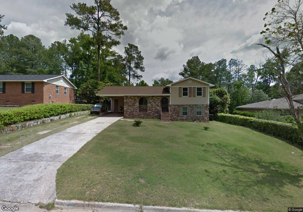
3015 Sterling Rd Augusta, GA 30907
Westside NeighborhoodEstimated Value: $215,000 - $259,000
3
Beds
2
Baths
2,087
Sq Ft
$114/Sq Ft
Est. Value
About This Home
This home is located at 3015 Sterling Rd, Augusta, GA 30907 and is currently estimated at $237,000, approximately $113 per square foot. 3015 Sterling Rd is a home located in Richmond County with nearby schools including Warren Road Elementary School, Tutt Middle School, and Johnson Magnet.
Ownership History
Date
Name
Owned For
Owner Type
Purchase Details
Closed on
Nov 28, 2022
Sold by
Fortenberry Michele
Bought by
Michele Fortenberry Living Trust
Current Estimated Value
Purchase Details
Closed on
Dec 16, 1996
Sold by
Fortenberry Henry C
Bought by
Fortenberry Michele
Purchase Details
Closed on
Feb 22, 1996
Sold by
Fortenberry Henry C
Bought by
Fortenberry Michele
Purchase Details
Closed on
Oct 14, 1994
Sold by
Bell Melvin
Bought by
Fortenberry Henry C
Purchase Details
Closed on
Oct 4, 1994
Sold by
Bell Melvin
Bought by
Fortenberry Henry C
Purchase Details
Closed on
Nov 1, 1973
Create a Home Valuation Report for This Property
The Home Valuation Report is an in-depth analysis detailing your home's value as well as a comparison with similar homes in the area
Home Values in the Area
Average Home Value in this Area
Purchase History
| Date | Buyer | Sale Price | Title Company |
|---|---|---|---|
| Michele Fortenberry Living Trust | -- | -- | |
| Fortenberry Michele | -- | -- | |
| Fortenberry Michele | -- | -- | |
| Fortenberry Henry C | -- | -- | |
| Fortenberry Henry C | $72,600 | -- | |
| -- | $29,400 | -- |
Source: Public Records
Tax History
| Year | Tax Paid | Tax Assessment Tax Assessment Total Assessment is a certain percentage of the fair market value that is determined by local assessors to be the total taxable value of land and additions on the property. | Land | Improvement |
|---|---|---|---|---|
| 2025 | $2,937 | $96,820 | $10,000 | $86,820 |
| 2024 | $2,937 | $96,952 | $10,000 | $86,952 |
| 2023 | $1,705 | $87,912 | $10,000 | $77,912 |
| 2022 | $1,973 | $61,339 | $10,000 | $51,339 |
| 2021 | $2,061 | $54,202 | $10,000 | $44,202 |
| 2020 | $1,798 | $51,525 | $8,800 | $42,725 |
| 2019 | $1,901 | $51,525 | $8,800 | $42,725 |
| 2018 | $1,913 | $51,525 | $8,800 | $42,725 |
| 2017 | $1,856 | $51,525 | $8,800 | $42,725 |
| 2016 | $1,857 | $51,525 | $8,800 | $42,725 |
| 2015 | $1,870 | $51,525 | $8,800 | $42,725 |
| 2014 | $1,872 | $51,525 | $8,800 | $42,725 |
Source: Public Records
Map
Nearby Homes
- 804 Sterling Ct
- 817 Mitchell St
- 810 Mayo Ln
- 2126 Turtle Ct
- 2111 Turtle Ct
- 3208 Stone Creek Dr
- 2014 Autumn Chase
- 2020 Autumn Chase
- 1001 Windsong Cir
- 2032 Pheasant Creek Dr
- 417 Preserve Trail
- 453 Timber Wolf Trail
- 2101 Reserve Ln
- 2054 Reserve Ln
- 816 Brookfield Pkwy
- 1123 Hampstead Place
- 1017 Stevens Creek Rd
- 1017 Stevens Creek Rd Unit G186
- 3244 Riverstone Dr
- 1119 Hampstead Place
- 3013 Sterling Rd
- 3017 Sterling Rd
- 3014 Silverwood Dr
- 3016 Silverwood Dr
- 3011 Sterling Rd
- 3012 Silverwood Dr
- 3019 Sterling Rd
- 3018 Sterling Rd
- 3020 Sterling Rd
- 3018 Silverwood Dr
- 3016 Sterling Rd
- 3010 Silverwood Dr
- 3022 Sterling Rd
- 3009 Sterling Rd
- 3020 Silverwood Dr
- 3014 Sterling Rd
- 3021 Sterling Rd
- 3008 Silverwood Dr
- 3024 Sterling Rd
- 806 Sterling Ct
Your Personal Tour Guide
Ask me questions while you tour the home.