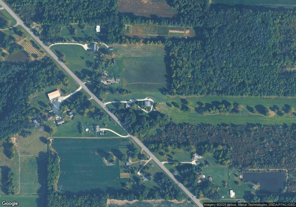
3016 State Route 14 Rootstown, OH 44272
Estimated Value: $254,000 - $303,000
About This Home
This home is located at 3016 State Route 14, Rootstown, OH 44272 and is currently estimated at $277,163, approximately $177 per square foot. 3016 State Route 14 is a home located in Portage County with nearby schools including Southeast High School.
Ownership History
We collect this data history from publicly available records. To have your information removed, we recommend requesting removal directly through your county’s website.
Purchase Details
Purchase Details
Purchase Details
Purchase Details
Purchase History
We collect this data history from publicly available records. To have your information removed, we recommend requesting removal directly through your county’s website.
| Date | Buyer | Sale Price | Title Company |
|---|---|---|---|
| -- | Capital Land Title Agency In | ||
| $110,000 | -- | ||
| -- | -- | ||
| -- | -- |
Tax History
We collect this data history from publicly available records. To have your information removed, we recommend requesting removal directly through your county’s website.
| Year | Tax Paid | Tax Assessment Tax Assessment Total Assessment is a certain percentage of the fair market value that is determined by local assessors to be the total taxable value of land and additions on the property. | Land | Improvement |
|---|---|---|---|---|
| 2025 | $2,820 | $75,600 | $20,650 | $54,950 |
| 2024 | $2,754 | $75,600 | $20,650 | $54,950 |
| 2023 | $2,058 | $50,470 | $17,850 | $32,620 |
| 2022 | $2,135 | $50,470 | $17,850 | $32,620 |
| 2021 | $2,152 | $50,470 | $17,850 | $32,620 |
| 2020 | $1,960 | $44,140 | $16,240 | $27,900 |
| 2019 | $1,964 | $44,140 | $16,240 | $27,900 |
| 2018 | $1,937 | $41,030 | $15,510 | $25,520 |
| 2017 | $1,937 | $41,030 | $15,510 | $25,520 |
| 2016 | $1,930 | $41,030 | $15,510 | $25,520 |
| 2015 | $1,848 | $41,030 | $15,510 | $25,520 |
| 2014 | $1,826 | $39,590 | $15,510 | $24,080 |
| 2013 | $1,779 | $39,590 | $15,510 | $24,080 |
Map
- 2443 Alliance Rd
- 3545 Porter Rd
- 6915 Clark Rd
- 2316 Deerfield Dr
- 2163 Parkway Dr
- 2591 Wayland Rd
- 8464 & 8446 Tallmadge Rd
- 8492 & 8476 Tallmadge Rd
- 3798 State Route 183
- 8965 Corbett Rd
- 4039 Ohio 14
- 8406 Whippoorwill Rd
- 8466 Whipporwill Rd
- 6401 Moff Rd
- 0 Ohio 225 Unit 5174573
- 9800 Williams Rd
- 0 Wayland Rd Unit 5191883
- 4715 Rock Spring Rd
- 1731 Ohio 225
- 9669 Tallmadge Rd
- 3016 St Route 14
- 3042 State Route 14
- 2991 State Route 14
- 2970 State Route 14
- 3070 State Route 14
- 3016 Ohio 14
- 3090 State Route 14
- 2942 State Route 14
- 2932 State Route 14
- 2900 State Route 14
- 2860 State Route 14
- 2844 State Route 14
- 3037 Alliance Rd
- 2837 State Route 14
- 3091 Alliance Rd
- 2961 Alliance Rd
- 2819 State Route 14
- 2812 State Route 14
- 2933 Alliance Rd
- 2985 Alliance Rd
Ask me questions while you tour the home.