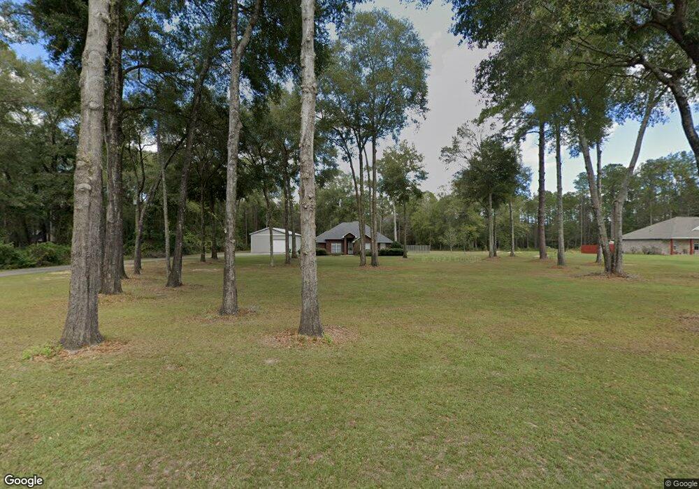
3017 Kennie Pierce Rd Moss Point, MS 39562
Estimated Value: $216,000 - $246,302
3
Beds
2
Baths
1,676
Sq Ft
$138/Sq Ft
Est. Value
About This Home
This home is located at 3017 Kennie Pierce Rd, Moss Point, MS 39562 and is currently estimated at $231,076, approximately $137 per square foot. 3017 Kennie Pierce Rd is a home located in Jackson County with nearby schools including East Central Lower Elementary School, East Central Upper Elementary School, and East Central Middle School.
Ownership History
Date
Name
Owned For
Owner Type
Purchase Details
Closed on
Feb 4, 2016
Sold by
Pigg Gary D and Pigg Mariea
Bought by
Pigg Gary D and Pigg Mariea
Current Estimated Value
Purchase Details
Closed on
Feb 20, 2015
Sold by
Brian Crawford Brian Crawford and Pigott Kimberly
Bought by
Pigg Gary D and Pigg Mariea
Create a Home Valuation Report for This Property
The Home Valuation Report is an in-depth analysis detailing your home's value as well as a comparison with similar homes in the area
Purchase History
| Date | Buyer | Sale Price | Title Company |
|---|---|---|---|
| Pigg Gary D | -- | None Available | |
| Pigg Gary D | -- | -- |
Source: Public Records
Tax History
| Year | Tax Paid | Tax Assessment Tax Assessment Total Assessment is a certain percentage of the fair market value that is determined by local assessors to be the total taxable value of land and additions on the property. | Land | Improvement |
|---|---|---|---|---|
| 2025 | $1,036 | $19,991 | $2,259 | $17,732 |
| 2024 | $1,036 | $16,994 | $2,198 | $14,796 |
| 2023 | $1,047 | $16,994 | $2,198 | $14,796 |
| 2022 | $1,017 | $16,219 | $0 | $0 |
| 2021 | $1,016 | $16,219 | $16,219 | $0 |
| 2020 | $1,053 | $16,219 | $2,035 | $14,184 |
| 2019 | $1,042 | $16,219 | $2,035 | $14,184 |
| 2018 | $1,062 | $16,219 | $2,035 | $14,184 |
| 2017 | $1,080 | $16,219 | $2,035 | $14,184 |
| 2016 | $1,037 | $16,219 | $2,035 | $14,184 |
| 2015 | $1,336 | $136,820 | $20,350 | $116,470 |
| 2014 | $1,352 | $14,063 | $2,035 | $12,028 |
| 2013 | $1,297 | $14,063 | $2,035 | $12,028 |
Source: Public Records
Map
Nearby Homes
- 17209 Red Top Ln
- 19500 Angel Ln
- 3016 Ed Parker Rd
- 19506 Highway 63
- 0 Grafe Homestead Rd Unit 4137349
- 20700 Cameron Ln
- 13875 Wolf Ridge Rd Unit LotWP001
- 7201 Bentwood Dr
- 26.1 Acres Brinkman Rd E
- 7521 Townsite Rd
- 0 R B Dickerson Rd
- 0 Dr Unit 4052148
- 0 Perry St
- 0 Ms-613 Hwy Unit 4116583
- 0 Ms-613 Hwy Unit 4107607
- 0 Ms-613 Hwy Unit 4107612
- 0 Ms-613 Hwy Unit 4116582
- Tbd Hurley Wade Rd
- 13704 Coleman St
- 0 River Walk Dr
- 3055 Kennie Pierce Rd
- 3013 Kennie Pierce Rd
- 3024 Kennie Pierce Rd
- 17128 Pierce St
- 3020 Kennie Pierce Rd
- 3009 Kennie Pierce Rd
- 3101 Kennie Pierce Rd
- 3005 Kennie Pierce Rd
- 17113 Highway 63
- 17312 Highway 63
- 3301 Shattles Rd
- 17320 Highway 63
- 17121 Pierce St
- 17308 Satsuma
- 17424 Highway 63
- 17108 Pierce St
- 3036 Andrew Cumbest Rd
- 17112 Pierce St
- 17300 Satsuma
- 17311 Highway 63
Your Personal Tour Guide
Ask me questions while you tour the home.