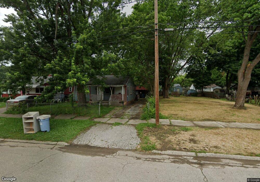
3017 Thom St Flint, MI 48506
Potter Longway NeighborhoodEstimated Value: $48,000 - $50,000
2
Beds
1
Bath
800
Sq Ft
$61/Sq Ft
Est. Value
About This Home
This home is located at 3017 Thom St, Flint, MI 48506 and is currently estimated at $49,000, approximately $61 per square foot. 3017 Thom St is a home located in Genesee County with nearby schools including Potter School, Richfield Public School Academy, and Richfield Early Learning Center.
Ownership History
Date
Name
Owned For
Owner Type
Purchase Details
Closed on
Dec 19, 2019
Sold by
Cherry Debroah L
Bought by
County Land Bank Authority
Current Estimated Value
Purchase Details
Closed on
May 1, 2017
Sold by
Stair Philip G and Genesee County Land Bank Autho
Bought by
Crandall Daniel
Purchase Details
Closed on
Feb 7, 2013
Sold by
The Genesee County Land Bank Authority
Bought by
Crandall Daniel
Purchase Details
Closed on
Dec 20, 2012
Sold by
Cherry Deborah L and Genesee County Treasurer
Bought by
Genesee County Land Bank
Create a Home Valuation Report for This Property
The Home Valuation Report is an in-depth analysis detailing your home's value as well as a comparison with similar homes in the area
Home Values in the Area
Average Home Value in this Area
Purchase History
| Date | Buyer | Sale Price | Title Company |
|---|---|---|---|
| County Land Bank Authority | -- | None Available | |
| Crandall Daniel | -- | None Available | |
| Crandall Daniel | $3,000 | None Available | |
| Genesee County Land Bank | -- | None Available |
Source: Public Records
Mortgage History
| Date | Status | Borrower | Loan Amount |
|---|---|---|---|
| Closed | Crandall Daniel | $0 |
Source: Public Records
Tax History Compared to Growth
Tax History
| Year | Tax Paid | Tax Assessment Tax Assessment Total Assessment is a certain percentage of the fair market value that is determined by local assessors to be the total taxable value of land and additions on the property. | Land | Improvement |
|---|---|---|---|---|
| 2025 | -- | $0 | $0 | $0 |
| 2024 | -- | $0 | $0 | $0 |
| 2023 | -- | $0 | $0 | $0 |
| 2022 | $0 | $0 | $0 | $0 |
| 2021 | $0 | $0 | $0 | $0 |
| 2020 | $268 | $0 | $0 | $0 |
| 2019 | $314 | $6,300 | $0 | $0 |
| 2018 | $278 | $9,900 | $0 | $0 |
| 2017 | $276 | $0 | $0 | $0 |
| 2016 | $276 | $0 | $0 | $0 |
| 2015 | -- | $0 | $0 | $0 |
| 2014 | -- | $0 | $0 | $0 |
| 2012 | -- | $11,200 | $0 | $0 |
Source: Public Records
Map
Nearby Homes
- 3010 Wyoming Ave
- 2719 Branch Rd
- 3702 Branch Rd
- 3710 Branch Rd
- 3214 Maryland Ave
- 3226 Mcclure Ave
- 3116 Beechwood Ave
- 2426 Hoff St
- 3149 Whittier Ave
- 2935 Richfield Rd
- 3602 Dakota Ave
- 4127 Coggins Ave
- 2211 Torrance St
- 00 Richfield Rd
- 3205 Holly Ave
- 2506 Arlington Ave
- 3729 Craig Dr
- 3514 Whittier Ave
- 3713 Risedorph Ave
- 3200 N Averill Ave