30171 187th St Leavenworth, KS 66048
Estimated Value: $273,000 - $403,000
3
Beds
1
Bath
1,536
Sq Ft
$219/Sq Ft
Est. Value
About This Home
This home is located at 30171 187th St, Leavenworth, KS 66048 and is currently estimated at $336,528, approximately $219 per square foot. 30171 187th St is a home located in Leavenworth County with nearby schools including Pleasant Ridge Elementary School, Pleasant Ridge Middle School, and Pleasant Ridge High School.
Ownership History
Date
Name
Owned For
Owner Type
Purchase Details
Closed on
Jan 30, 2014
Sold by
Herd Donald K and Herd Shawna R
Bought by
Forge Nancy Irene
Current Estimated Value
Home Financials for this Owner
Home Financials are based on the most recent Mortgage that was taken out on this home.
Original Mortgage
$100,000
Outstanding Balance
$76,005
Interest Rate
4.49%
Mortgage Type
New Conventional
Estimated Equity
$260,523
Create a Home Valuation Report for This Property
The Home Valuation Report is an in-depth analysis detailing your home's value as well as a comparison with similar homes in the area
Home Values in the Area
Average Home Value in this Area
Purchase History
| Date | Buyer | Sale Price | Title Company |
|---|---|---|---|
| Forge Nancy Irene | $125,000 | Premier Title Co |
Source: Public Records
Mortgage History
| Date | Status | Borrower | Loan Amount |
|---|---|---|---|
| Open | Forge Nancy Irene | $100,000 |
Source: Public Records
Tax History Compared to Growth
Tax History
| Year | Tax Paid | Tax Assessment Tax Assessment Total Assessment is a certain percentage of the fair market value that is determined by local assessors to be the total taxable value of land and additions on the property. | Land | Improvement |
|---|---|---|---|---|
| 2025 | $2,268 | $24,280 | $5,288 | $18,992 |
| 2024 | $2,232 | $23,346 | $4,056 | $19,290 |
| 2023 | $2,232 | $22,666 | $4,056 | $18,610 |
| 2022 | $1,897 | $19,262 | $4,056 | $15,206 |
| 2021 | $2,127 | $20,747 | $5,070 | $15,677 |
| 2020 | $2,015 | $23,885 | $5,070 | $18,815 |
| 2019 | $2,655 | $25,595 | $4,557 | $21,038 |
| 2018 | $2,243 | $21,711 | $4,306 | $17,405 |
| 2017 | $2,107 | $20,349 | $4,306 | $16,043 |
| 2016 | $1,952 | $18,849 | $4,523 | $14,326 |
| 2015 | $1,965 | $18,849 | $3,824 | $15,025 |
| 2014 | $1,955 | $18,849 | $3,824 | $15,025 |
Source: Public Records
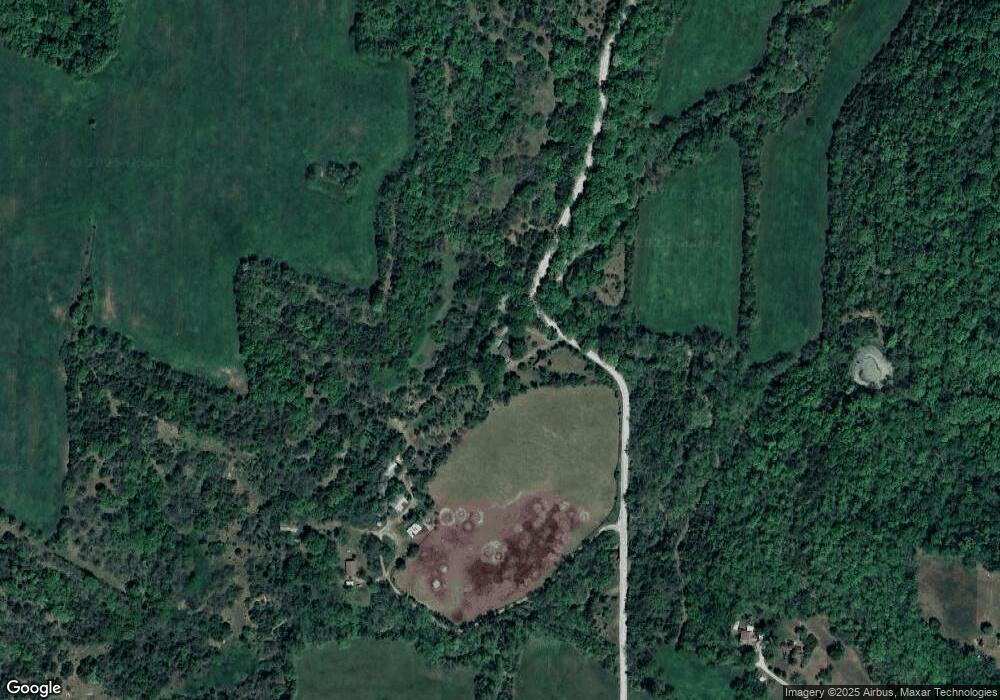
Map
Nearby Homes
- 000000 195th St
- 0 195th St
- Lot 5 195th St
- Lot 4 195th St
- 503 Limit St
- 1964 Eisenhower Rd
- Lot 5 Bauserman Rd
- 17051 Mount Olivet Rd
- 17470 Springdale Rd
- 2101 Spruce St
- 1933 Cherokee St
- 00000 Edwards Terrace
- 401 S 20th St
- 1919 Seneca St
- 1927 Pottawatomie St
- 2308 Hebbeln Dr
- 1835 Miami St
- 16425 Fort Riley Rd
- 00000 Michals Rd
- 1908 Pine Ridge Dr