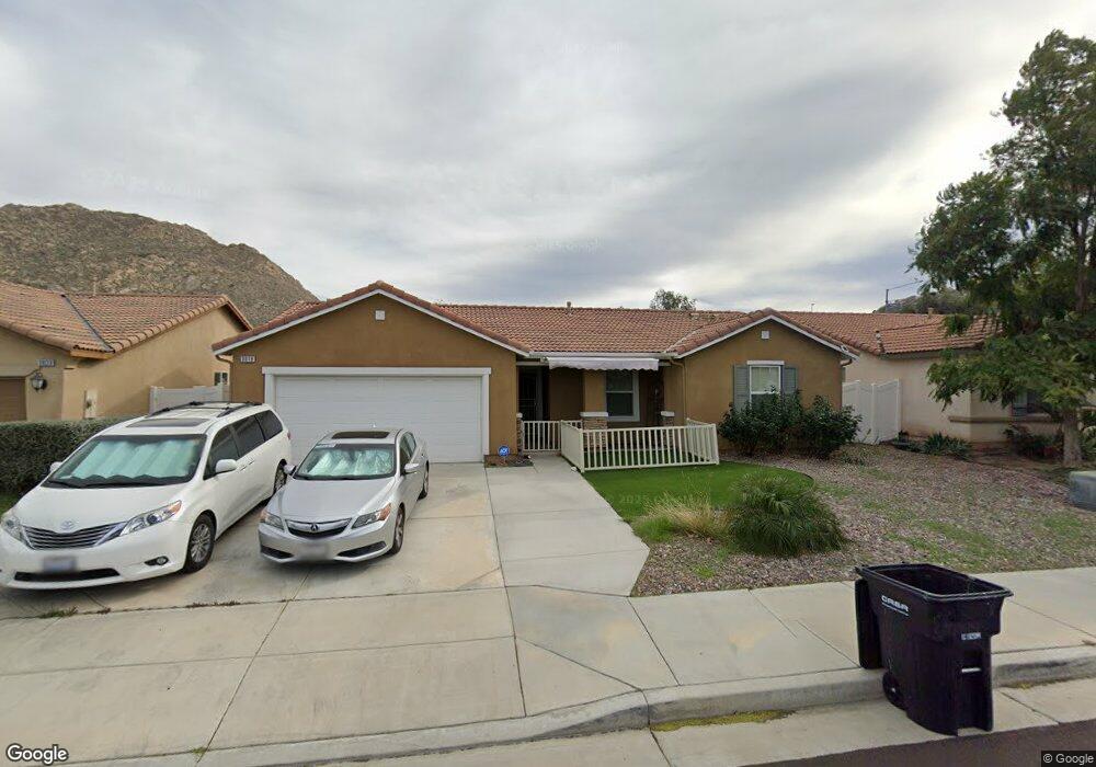
3019 Avishan Dr Perris, CA 92571
North Perris NeighborhoodEstimated Value: $498,746 - $551,000
3
Beds
2
Baths
1,230
Sq Ft
$423/Sq Ft
Est. Value
About This Home
This home is located at 3019 Avishan Dr, Perris, CA 92571 and is currently estimated at $519,937, approximately $422 per square foot. 3019 Avishan Dr is a home located in Riverside County with nearby schools including Sierra Vista Elementary School, Lakeside Middle School, and Rancho Verde High School.
Ownership History
Date
Name
Owned For
Owner Type
Purchase Details
Closed on
May 25, 2010
Sold by
Kb Home Coastal Inc
Bought by
Ong Robert C
Current Estimated Value
Home Financials for this Owner
Home Financials are based on the most recent Mortgage that was taken out on this home.
Original Mortgage
$177,608
Outstanding Balance
$118,927
Interest Rate
5.03%
Mortgage Type
FHA
Estimated Equity
$401,010
Create a Home Valuation Report for This Property
The Home Valuation Report is an in-depth analysis detailing your home's value as well as a comparison with similar homes in the area
Home Values in the Area
Average Home Value in this Area
Purchase History
| Date | Buyer | Sale Price | Title Company |
|---|---|---|---|
| Ong Robert C | $182,500 | First Amer Title Ins Co Hsd |
Source: Public Records
Mortgage History
| Date | Status | Borrower | Loan Amount |
|---|---|---|---|
| Open | Ong Robert C | $177,608 |
Source: Public Records
Tax History
| Year | Tax Paid | Tax Assessment Tax Assessment Total Assessment is a certain percentage of the fair market value that is determined by local assessors to be the total taxable value of land and additions on the property. | Land | Improvement |
|---|---|---|---|---|
| 2025 | $5,286 | $246,436 | $51,624 | $194,812 |
| 2023 | $5,286 | $229,274 | $49,620 | $179,654 |
| 2022 | $4,997 | $224,780 | $48,648 | $176,132 |
| 2021 | $4,709 | $217,433 | $47,695 | $169,738 |
| 2020 | $4,674 | $215,204 | $47,206 | $167,998 |
| 2019 | $4,521 | $210,985 | $46,281 | $164,704 |
| 2018 | $4,468 | $206,849 | $45,374 | $161,475 |
| 2017 | $4,396 | $202,794 | $44,485 | $158,309 |
| 2016 | $4,383 | $198,818 | $43,613 | $155,205 |
| 2015 | $4,396 | $195,834 | $42,959 | $152,875 |
| 2014 | $4,310 | $189,000 | $41,000 | $148,000 |
Source: Public Records
Map
Nearby Homes
- 27366 Dunite Dr
- 27379 Dunite Dr
- 27354 Dunite Dr
- 27365 Dunite Dr
- 27344 Fossil Cove
- 27353 Dunite Dr
- 27334 Fossil Cove
- 27330 Dunite Dr
- 27341 Dunite Dr
- 27328 Fossil Cove
- 27318 Dunite Dr
- 27329 Dunite Dr
- 27315 Dunite Dr
- 27322 Fossil Cove
- 3086 Hawthorne Rd
- 27279 Fossil Cove
- 27321 Fossil Cove
- 1910 Mount Verdugo Ln
- 1923 Brockstone Dr
- 1752 Campanella Dr
- 3015 Avishan Dr
- 3023 Avishan Dr
- 3027 Avishan Dr
- 3011 Avishan Dr
- 3018 Hawthorne Rd
- 3014 Hawthorne Rd
- 3020 Avishan Dr
- 3022 Hawthorne Rd
- 3010 Hawthorne Rd
- 3024 Avishan Dr
- 3012 Avishan Dr
- 3026 Hawthorne Rd
- 3028 Avishan Dr
- 3006 Hawthorne Rd
- 3008 Avishan Dr
- 3035 Avishan Dr
- 3039 Avishan Dr
- 3036 Avishan Dr
- 3034 Hawthorne Rd
- 3017 Tansy Cir
Your Personal Tour Guide
Ask me questions while you tour the home.