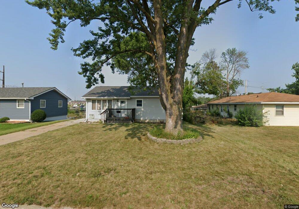
302 3rd Ave Hiawatha, IA 52233
Estimated Value: $149,000 - $191,000
3
Beds
2
Baths
864
Sq Ft
$201/Sq Ft
Est. Value
About This Home
This home is located at 302 3rd Ave, Hiawatha, IA 52233 and is currently estimated at $173,904, approximately $201 per square foot. 302 3rd Ave is a home located in Linn County with nearby schools including Nixon Elementary School, Harding Middle School, and John F. Kennedy High School.
Ownership History
Date
Name
Owned For
Owner Type
Purchase Details
Closed on
Feb 12, 2025
Sold by
Prior Arthur and Prior Elgin
Bought by
Dtb Holdings Llc
Current Estimated Value
Purchase Details
Closed on
Nov 10, 2004
Sold by
Auman Donald L and Auman Patricia A
Bought by
Robinson Marlys M
Home Financials for this Owner
Home Financials are based on the most recent Mortgage that was taken out on this home.
Original Mortgage
$83,120
Interest Rate
5.8%
Mortgage Type
Purchase Money Mortgage
Purchase Details
Closed on
Dec 2, 1997
Sold by
Arp Regis L and Arp Barbara
Bought by
Arp Regis L and Arp Barbara
Create a Home Valuation Report for This Property
The Home Valuation Report is an in-depth analysis detailing your home's value as well as a comparison with similar homes in the area
Home Values in the Area
Average Home Value in this Area
Purchase History
| Date | Buyer | Sale Price | Title Company |
|---|---|---|---|
| Dtb Holdings Llc | -- | None Listed On Document | |
| Dtb Holdings Llc | -- | None Listed On Document | |
| Robinson Marlys M | $103,500 | -- | |
| Arp Regis L | -- | -- |
Source: Public Records
Mortgage History
| Date | Status | Borrower | Loan Amount |
|---|---|---|---|
| Previous Owner | Robinson Marlys M | $83,120 |
Source: Public Records
Tax History Compared to Growth
Tax History
| Year | Tax Paid | Tax Assessment Tax Assessment Total Assessment is a certain percentage of the fair market value that is determined by local assessors to be the total taxable value of land and additions on the property. | Land | Improvement |
|---|---|---|---|---|
| 2025 | $2,194 | $172,700 | $19,300 | $153,400 |
| 2024 | $2,438 | $153,600 | $19,300 | $134,300 |
| 2023 | $2,438 | $151,000 | $19,300 | $131,700 |
| 2022 | $2,406 | $129,100 | $19,300 | $109,800 |
| 2021 | $2,308 | $129,100 | $19,300 | $109,800 |
| 2020 | $2,308 | $116,300 | $19,300 | $97,000 |
| 2019 | $2,132 | $108,500 | $19,300 | $89,200 |
| 2018 | $2,090 | $108,500 | $19,300 | $89,200 |
| 2017 | $2,250 | $111,300 | $19,300 | $92,000 |
| 2016 | $2,376 | $111,300 | $19,300 | $92,000 |
| 2015 | $2,190 | $111,300 | $19,300 | $92,000 |
| 2014 | $2,196 | $111,400 | $19,400 | $92,000 |
| 2013 | $2,136 | $111,400 | $19,400 | $92,000 |
Source: Public Records
Map
Nearby Homes
- 5455 Blairs Ferry Rd NE
- 105 W Willman St
- 1 N Center Point Rd
- 3 N Center Point Rd
- 109 E Willman St
- 250 Cimarron Dr NE Unit 309
- 306 10th Ave
- 1026 Eisenhower Rd
- 250 Cimarron Dr Unit 311
- 114 Northwood Dr
- 6505 Brookview Ln NE
- 780 Ryan Ave
- 1813 Northbrook Dr NE
- 6509 Mosswood Ln NE
- 4761 Westchester Dr NE Unit C
- 1213 Raney St
- 1213 Bowler St
- 1284 Rainbow Blvd
- 4630 Westchester Dr NE
- 4735 Westchester Dr NE Unit C