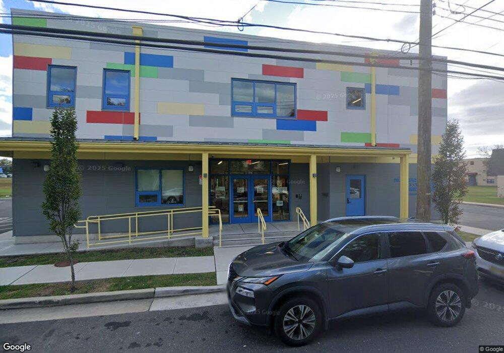
302 Atkins Ave Asbury Park, NJ 07712
Estimated Value: $614,284
--
Bed
--
Bath
3,052
Sq Ft
$201/Sq Ft
Est. Value
About This Home
This home is located at 302 Atkins Ave, Asbury Park, NJ 07712 and is currently priced at $614,284, approximately $201 per square foot. 302 Atkins Ave is a home located in Monmouth County with nearby schools including Asbury Park High School.
Ownership History
Date
Name
Owned For
Owner Type
Purchase Details
Closed on
May 25, 2021
Sold by
142 Atkins Avenue Llc
Bought by
Interfaith Neighbors Inc
Current Estimated Value
Purchase Details
Closed on
Aug 23, 2013
Sold by
Acelero Learning Monmouth Middlesex Coun
Bought by
142 Atkins Ave Llc
Purchase Details
Closed on
Oct 31, 2005
Sold by
Community Development Institut
Bought by
Acelero Learning Monmouth Coun
Purchase Details
Closed on
Aug 12, 2005
Sold by
Intercommunity Coordinating Co
Bought by
Community Development Institut
Create a Home Valuation Report for This Property
The Home Valuation Report is an in-depth analysis detailing your home's value as well as a comparison with similar homes in the area
Home Values in the Area
Average Home Value in this Area
Purchase History
| Date | Buyer | Sale Price | Title Company |
|---|---|---|---|
| Interfaith Neighbors Inc | $444,000 | Trident Abstract Ttl Agcy Ll | |
| Interfaith Neighbors Inc | $444,000 | Trident Abstract Title | |
| 142 Atkins Ave Llc | $92,500 | Agent For Westcorl Land Tit | |
| Acelero Learning Monmouth Coun | $55,500 | -- | |
| Community Development Institut | $55,000 | -- |
Source: Public Records
Tax History Compared to Growth
Tax History
| Year | Tax Paid | Tax Assessment Tax Assessment Total Assessment is a certain percentage of the fair market value that is determined by local assessors to be the total taxable value of land and additions on the property. | Land | Improvement |
|---|---|---|---|---|
| 2025 | -- | $1,382,100 | $89,600 | $1,292,500 |
| 2024 | $1,362 | $1,118,500 | $85,400 | $1,033,100 |
| 2023 | $1,362 | $88,100 | $88,100 | $0 |
| 2022 | $4,736 | $73,400 | $73,400 | $0 |
| 2021 | $4,736 | $299,900 | $66,800 | $233,100 |
| 2020 | $4,741 | $301,000 | $66,800 | $234,200 |
| 2019 | $4,806 | $291,300 | $63,600 | $227,700 |
| 2018 | $4,786 | $268,600 | $57,800 | $210,800 |
| 2017 | $4,963 | $238,600 | $50,300 | $188,300 |
| 2016 | $4,655 | $217,100 | $50,300 | $166,800 |
| 2015 | $3,786 | $171,000 | $50,300 | $120,700 |
| 2014 | $3,706 | $171,000 | $50,300 | $120,700 |
Source: Public Records
Map
Nearby Homes
- 303 Comstock St
- 128 Dewitt Ave
- 126 Dewitt Ave
- 135-137 Dewitt Ave
- 1407 Mattison Ave
- 1405 Mattison Ave
- 1015 Mattison Ave
- 141 Elizabeth Ave
- 1205 Washington Ave
- 1235 Washington Ave
- 1017 Summerfield Ave
- 119 Ridge Ave
- 603 Comstock St
- 532 Prospect Ave
- 1123 Sewall Ave
- 0 Bangs Ave
- 644 Church St
- 614 Pine St
- 1604 Bangs Ave
- 5 Ivy Place
- 159 Atkins Ave
- 143 Atkins Ave Unit A
- 143 Atkins Ave Unit B
- 149 Atkins Ave
- 151 Atkins Ave
- 147 Atkins Ave
- 141 Atkins Ave Unit 143
- 145 Atkins Ave
- 1212 Mattison Ave
- 1214 Mattison Ave
- 301 Atkins Ave
- 210 Borden Ave
- 139 Atkins Ave
- 137 Atkins Ave
- 1201 Mattison Ave
- 150 Borden Ave
- 1205 Mattison Ave
- 146 Borden Ave
- 216 Borden Ave
- 135 Atkins Ave