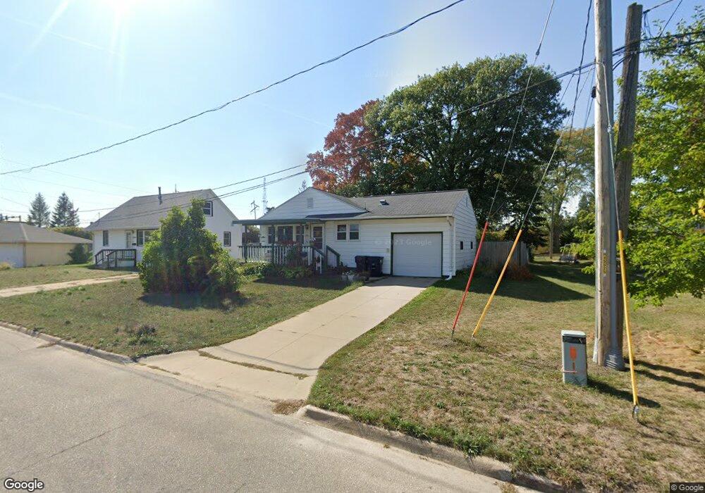
302 B Ave Hiawatha, IA 52233
Estimated Value: $141,000 - $172,000
3
Beds
1
Bath
912
Sq Ft
$172/Sq Ft
Est. Value
About This Home
This home is located at 302 B Ave, Hiawatha, IA 52233 and is currently estimated at $156,448, approximately $171 per square foot. 302 B Ave is a home located in Linn County with nearby schools including T.C. Cherry Elementary School, Nixon Elementary School, and Harding Middle School.
Ownership History
Date
Name
Owned For
Owner Type
Purchase Details
Closed on
Sep 29, 2008
Sold by
Seals Don and Seals Jacquelyn M
Bought by
Taylor Andrea L
Current Estimated Value
Home Financials for this Owner
Home Financials are based on the most recent Mortgage that was taken out on this home.
Original Mortgage
$91,054
Outstanding Balance
$60,549
Interest Rate
6.43%
Mortgage Type
FHA
Estimated Equity
$95,899
Purchase Details
Closed on
Jun 21, 2007
Sold by
Matties Audrey and Burrell Judy
Bought by
Seals Don and Mihm Brad
Create a Home Valuation Report for This Property
The Home Valuation Report is an in-depth analysis detailing your home's value as well as a comparison with similar homes in the area
Home Values in the Area
Average Home Value in this Area
Purchase History
| Date | Buyer | Sale Price | Title Company |
|---|---|---|---|
| Taylor Andrea L | $91,500 | None Available | |
| Seals Don | $74,500 | None Available |
Source: Public Records
Mortgage History
| Date | Status | Borrower | Loan Amount |
|---|---|---|---|
| Open | Taylor Andrea L | $91,054 |
Source: Public Records
Tax History Compared to Growth
Tax History
| Year | Tax Paid | Tax Assessment Tax Assessment Total Assessment is a certain percentage of the fair market value that is determined by local assessors to be the total taxable value of land and additions on the property. | Land | Improvement |
|---|---|---|---|---|
| 2025 | $1,892 | $144,100 | $20,200 | $123,900 |
| 2024 | $2,226 | $125,600 | $20,200 | $105,400 |
| 2023 | $2,226 | $125,600 | $20,200 | $105,400 |
| 2022 | $2,198 | $118,700 | $20,200 | $98,500 |
| 2021 | $2,144 | $118,700 | $20,200 | $98,500 |
| 2020 | $2,144 | $108,600 | $20,200 | $88,400 |
| 2019 | $1,972 | $101,000 | $20,200 | $80,800 |
| 2018 | $1,934 | $101,000 | $20,200 | $80,800 |
| 2017 | $2,118 | $99,200 | $20,200 | $79,000 |
| 2016 | $2,118 | $99,200 | $20,200 | $79,000 |
| 2015 | $2,124 | $99,200 | $20,200 | $79,000 |
| 2014 | $1,938 | $99,200 | $20,200 | $79,000 |
| 2013 | $1,882 | $99,200 | $20,200 | $79,000 |
Source: Public Records
Map
Nearby Homes
- 109 E Willman St
- 105 W Willman St
- 5455 Blairs Ferry Rd NE
- 1 N Center Point Rd
- 3 N Center Point Rd
- 250 Cimarron Dr Unit 311
- 6505 Brookview Ln NE
- 114 Northwood Dr
- 0 Council St NE
- 780 Ryan Ave
- 1638 47th St NE
- 306 10th Ave
- 327 Meadows Field Dr NE
- 1006 Messina Dr NE
- 1138 Messina Dr NE
- 4609 White Pine Dr NE
- 1472 Tower Ln NE Unit 5
- 1450 Tower Ln NE
- 6410 Creekside Dr NE Unit 1
- 6410 Creekside Dr NE
- 304 B Ave
- 114 Marion Ct Unit 116
- 110 Marion Ct
- 201 Tucker St
- 301 B Ave
- 115 Marion Ct
- 206-208 B Ave
- 206 B Ave Unit 208
- 113 Marion Ct
- 111 Marion Ct
- 207 B Ave
- 109 Marion Ct
- 203 Tucker St
- 302 C Ave
- 210 C Ave
- 208 C Ave
- 0 Blairs Ferry Rd NE Unit 1591498
- 0 Blairs Ferry Rd Unit 2301109
- 0 Blairs Ferry Rd Unit 20123279
- 114 E Willman St