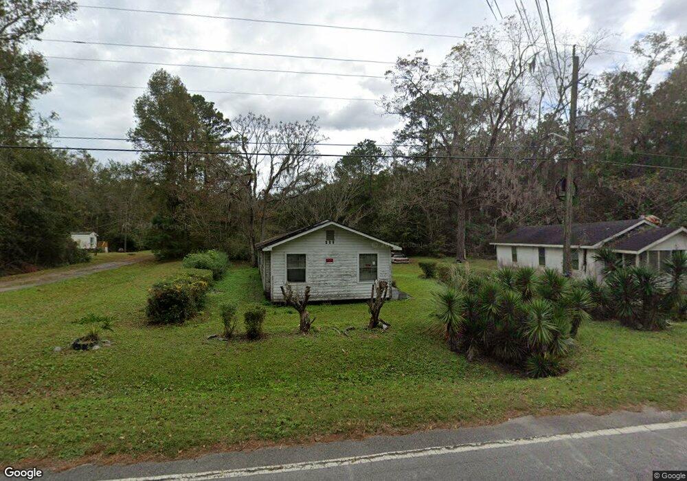
302 Bacontown Rd Midway, GA 31320
Estimated Value: $94,468 - $277,000
3
Beds
1
Bath
968
Sq Ft
$186/Sq Ft
Est. Value
About This Home
This home is located at 302 Bacontown Rd, Midway, GA 31320 and is currently estimated at $180,367, approximately $186 per square foot. 302 Bacontown Rd is a home located in Liberty County with nearby schools including Liberty Elementary School, Midway Middle School, and Liberty County High School.
Ownership History
Date
Name
Owned For
Owner Type
Purchase Details
Closed on
Dec 2, 2021
Sold by
Raye Lionel O
Bought by
Ferdinand Rose Marie Strodder
Current Estimated Value
Purchase Details
Closed on
May 17, 2021
Sold by
Raye Alice Dix
Bought by
Raye Lionel O and Raye Dabney Chanda
Purchase Details
Closed on
May 11, 2021
Sold by
Armstead Stephanie Dix
Bought by
Raye Lionel O
Purchase Details
Closed on
Sep 26, 2005
Sold by
Dix James E
Bought by
Raye Lionel O and Dix Stephanie F
Purchase Details
Closed on
Mar 15, 1960
Bought by
Dix Corine
Create a Home Valuation Report for This Property
The Home Valuation Report is an in-depth analysis detailing your home's value as well as a comparison with similar homes in the area
Home Values in the Area
Average Home Value in this Area
Purchase History
| Date | Buyer | Sale Price | Title Company |
|---|---|---|---|
| Ferdinand Rose Marie Strodder | -- | -- | |
| Raye Lionel O | -- | -- | |
| Raye Lionel O | -- | -- | |
| Quarterman Derrick | -- | -- | |
| Raye Lionel O | -- | -- | |
| Dix Corine | -- | -- |
Source: Public Records
Tax History Compared to Growth
Tax History
| Year | Tax Paid | Tax Assessment Tax Assessment Total Assessment is a certain percentage of the fair market value that is determined by local assessors to be the total taxable value of land and additions on the property. | Land | Improvement |
|---|---|---|---|---|
| 2024 | $310 | $3,100 | $2,839 | $261 |
| 2023 | $310 | $3,100 | $2,839 | $261 |
| 2022 | $119 | $3,100 | $2,839 | $261 |
| 2021 | $798 | $16,748 | $3,444 | $13,304 |
| 2020 | $793 | $17,093 | $3,444 | $13,649 |
| 2019 | $794 | $17,438 | $3,444 | $13,994 |
| 2018 | $801 | $17,784 | $3,444 | $14,340 |
| 2017 | $597 | $18,129 | $3,444 | $14,685 |
| 2016 | $792 | $18,475 | $3,444 | $15,030 |
| 2015 | $814 | $17,680 | $2,650 | $15,030 |
| 2014 | $814 | $18,935 | $2,953 | $15,982 |
| 2013 | -- | $16,679 | $2,038 | $14,641 |
Source: Public Records
Map
Nearby Homes
- 0 E Oglethorpe Unit SA341930
- 0 E Oglethorpe Unit 153327
- 0 E Oglethorpe Unit 10592168
- 0000 E Oglethorpe Hwy
- 182 Gloucester Dr
- 9081 E Oglethorpe Hwy
- 327 River Bend Dr
- 296 River Bend Dr
- 1123 Stone Ct
- 0 S Coastal Hwy
- 364 River Bend Dr
- 90 Charleston Ct
- 8701 E Oglethorpe Hwy
- 670 Stone Ct
- 35 Hollis Ln
- 152 Holland Dr
- 1019 Stone Ct
- 94 Buckingham Dr
- 1099 Stone Ct
- 1057 Stone Ct
- 312 Bacontown Rd
- 272 Bacontown Rd
- 295 Bacontown Rd
- 290 Bacontown Rd
- 261 Bacontown Rd
- 184 Bacontown Rd
- 173 Bacontown Rd
- 228 Bacontown Rd
- 76 Bacontown Rd
- 561 Bacontown Rd
- 3.5 Acre Bacontown Rd
- 124 Denham Ln
- 124 Denham Ln
- 178 Denham Ln
- 17 Bacontown Rd
- 582 Bacontown Rd
- 3.5 Acre Bacontown Rd
- 9489 E Oglethorpe Hwy
- 599 Bacontown Rd
- 0 E Oglethorpe Unit 53387